247 Devon Dr Ruckersville, VA 22968
Estimated Value: $560,000 - $660,000
4
Beds
3
Baths
2,672
Sq Ft
$226/Sq Ft
Est. Value
About This Home
This home is located at 247 Devon Dr, Ruckersville, VA 22968 and is currently estimated at $604,907, approximately $226 per square foot. 247 Devon Dr is a home located in Greene County with nearby schools including William Monroe High School.
Ownership History
Date
Name
Owned For
Owner Type
Purchase Details
Closed on
Aug 3, 2023
Sold by
Dolan Patrick W and Dolan Leia J
Bought by
Dolan Patrick W
Current Estimated Value
Purchase Details
Closed on
Jun 24, 2017
Sold by
Reenan James W Van and Reenan Jacqueline M Van
Bought by
Dolan Patrick W and Dolan Leia J
Home Financials for this Owner
Home Financials are based on the most recent Mortgage that was taken out on this home.
Original Mortgage
$347,207
Interest Rate
3.9%
Mortgage Type
VA
Purchase Details
Closed on
Apr 9, 2012
Sold by
Branch Banking And Trust
Bought by
I & J Home Builders
Purchase Details
Closed on
Dec 13, 2011
Sold by
Horner Michael Thomas and Stern William A
Bought by
Branch Banking And Trust Co
Create a Home Valuation Report for This Property
The Home Valuation Report is an in-depth analysis detailing your home's value as well as a comparison with similar homes in the area
Home Values in the Area
Average Home Value in this Area
Purchase History
| Date | Buyer | Sale Price | Title Company |
|---|---|---|---|
| Dolan Patrick W | -- | None Listed On Document | |
| Dolan Patrick W | $339,900 | Stewart Title | |
| I & J Home Builders | $55,000 | Old Republic National Title | |
| Branch Banking And Trust Co | $120,000 | None Available |
Source: Public Records
Mortgage History
| Date | Status | Borrower | Loan Amount |
|---|---|---|---|
| Previous Owner | Dolan Patrick W | $347,207 |
Source: Public Records
Tax History Compared to Growth
Tax History
| Year | Tax Paid | Tax Assessment Tax Assessment Total Assessment is a certain percentage of the fair market value that is determined by local assessors to be the total taxable value of land and additions on the property. | Land | Improvement |
|---|---|---|---|---|
| 2025 | $3,389 | $491,200 | $100,600 | $390,600 |
| 2024 | $3,245 | $457,000 | $100,600 | $356,400 |
| 2023 | $3,336 | $457,000 | $100,600 | $356,400 |
| 2022 | $1,521 | $371,000 | $100,600 | $270,400 |
| 2021 | $3,042 | $371,000 | $100,600 | $270,400 |
| 2020 | $2,731 | $333,000 | $100,600 | $232,400 |
| 2019 | $2,731 | $333,000 | $100,600 | $232,400 |
| 2018 | $2,420 | $312,200 | $100,600 | $211,600 |
| 2017 | $2,420 | $0 | $0 | $0 |
| 2016 | $2,065 | $266,400 | $100,600 | $165,800 |
| 2015 | $1,998 | $266,400 | $100,600 | $165,800 |
| 2014 | $1,918 | $266,400 | $100,600 | $165,800 |
| 2013 | -- | $266,400 | $100,600 | $165,800 |
Source: Public Records
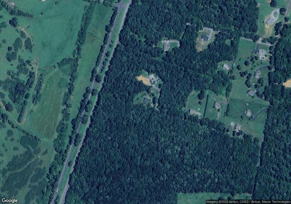
Map
Nearby Homes
- 301 Vista Heights Dr
- 101 Vista Heights Dr
- 102 Vista Heights Dr
- Lot B8 Moore Rd
- Lot A6 Moore Rd Unit A6
- Lot B7 Moore Rd
- Lot B2 Moore Rd Unit B2
- Lot B9 Moore Rd
- Lot A4 Moore Rd
- Lot A6 Moore Rd
- Lot B6 Moore Rd Unit B6
- Lot B2 Moore Rd
- Lot B6 Moore Rd
- Lot B3 Moore Rd Unit B3
- Lot A2 Moore Rd Unit A2
- Lot B9 Moore Rd Unit B9
- Lot B7 Moore Rd Unit B7
- Lot A8 Moore Rd
- Lot B1 Moore Rd Unit B1
- Lot B4 Moore Rd
- 269 Devon Dr
- 246 Carly Ln
- 134 Devon Dr
- 212 Carly Ln
- 177 Carly Ln
- 1000 Carly Ln
- 104 Devon Dr
- Carly Ln
- 83 Carly Ln
- Lot 9 Carly Ln Unit 9
- Lot 9 Carly Ln
- 68 Devon Dr
- 0 Carly Ln Unit 545827
- 2095 Moore Rd
- 2107 Moore Rd
- 2167 Moore Rd
- 0 Carly Ln Unit 1007833576
- 0 Carly Ln Unit 1007231154
- 0 Carly Ln Unit 1007140120
- 0 Carly Ln Unit 1006934668