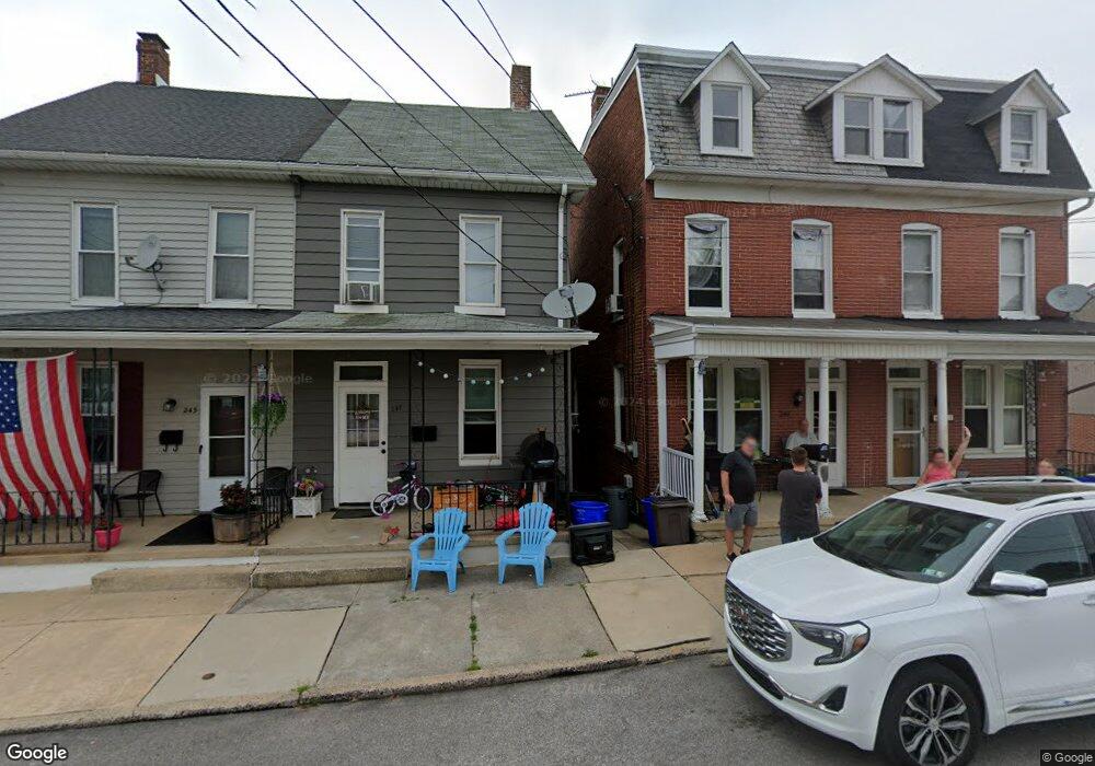
247 E Maple St Dallastown, PA 17313
Estimated Value: $103,000 - $180,000
3
Beds
2
Baths
1,170
Sq Ft
$122/Sq Ft
Est. Value
About This Home
This home is located at 247 E Maple St, Dallastown, PA 17313 and is currently estimated at $143,067, approximately $122 per square foot. 247 E Maple St is a home located in York County with nearby schools including Dallastown Elementary School, Dallastown Area Middle School, and Dallastown Area High School.
Ownership History
Date
Name
Owned For
Owner Type
Purchase Details
Closed on
May 28, 2021
Sold by
Integrity First Home Buyers Llc
Bought by
Silar Enterprises Llc
Current Estimated Value
Purchase Details
Closed on
Dec 26, 2017
Sold by
Duffy Cornelia
Bought by
Mckenna Sean Patrick
Home Financials for this Owner
Home Financials are based on the most recent Mortgage that was taken out on this home.
Original Mortgage
$50,333
Interest Rate
3.95%
Mortgage Type
New Conventional
Purchase Details
Closed on
Sep 3, 2001
Sold by
Little Martin J and Little Eleanora B
Bought by
Duffy Cornelia
Home Financials for this Owner
Home Financials are based on the most recent Mortgage that was taken out on this home.
Original Mortgage
$63,600
Interest Rate
7.05%
Purchase Details
Closed on
Dec 30, 1985
Bought by
Little Martin J
Create a Home Valuation Report for This Property
The Home Valuation Report is an in-depth analysis detailing your home's value as well as a comparison with similar homes in the area
Home Values in the Area
Average Home Value in this Area
Purchase History
| Date | Buyer | Sale Price | Title Company |
|---|---|---|---|
| Silar Enterprises Llc | $80,000 | None Available | |
| Integrity First Hoem Buyers Llc | $60,000 | None Available | |
| Mckenna Sean Patrick | $63,333 | Servicelink | |
| Duffy Cornelia | $49,500 | -- | |
| Little Martin J | $31,600 | -- |
Source: Public Records
Mortgage History
| Date | Status | Borrower | Loan Amount |
|---|---|---|---|
| Previous Owner | Mckenna Sean Patrick | $50,333 | |
| Previous Owner | Duffy Cornelia | $63,600 |
Source: Public Records
Tax History
| Year | Tax Paid | Tax Assessment Tax Assessment Total Assessment is a certain percentage of the fair market value that is determined by local assessors to be the total taxable value of land and additions on the property. | Land | Improvement |
|---|---|---|---|---|
| 2025 | $2,549 | $73,370 | $19,120 | $54,250 |
| 2024 | $2,549 | $73,370 | $19,120 | $54,250 |
| 2023 | $2,549 | $73,370 | $19,120 | $54,250 |
| 2022 | $2,467 | $73,370 | $19,120 | $54,250 |
| 2021 | $2,327 | $73,370 | $19,120 | $54,250 |
| 2020 | $2,327 | $73,370 | $19,120 | $54,250 |
| 2019 | $2,319 | $73,370 | $19,120 | $54,250 |
| 2018 | $2,319 | $73,370 | $19,120 | $54,250 |
| 2017 | $2,229 | $73,370 | $19,120 | $54,250 |
| 2016 | $0 | $73,370 | $19,120 | $54,250 |
| 2015 | -- | $73,370 | $19,120 | $54,250 |
| 2014 | -- | $73,370 | $19,120 | $54,250 |
Source: Public Records
Map
Nearby Homes
- 226 E Maple St
- 439 N Lombard St
- 1 N Duke St
- 125 S Walnut St
- 314 S Pleasant Ave
- 160 Susan Dr
- 197 S Main St
- 109 W Main St
- 143 W Broad St
- 53 S Franklin St
- 695 Oak Rd
- 260 Country Ridge Dr
- 250 Country Ridge Dr
- 7 Rambo Rd
- 121 Furlong Way Unit 121
- 218 Equine Cove Unit 218
- 214 Equine Cove Unit 214
- 116 Furlong Way Unit 116
- 400 Carriage Ln Unit 400
- 129 Katonah Dr Unit 78