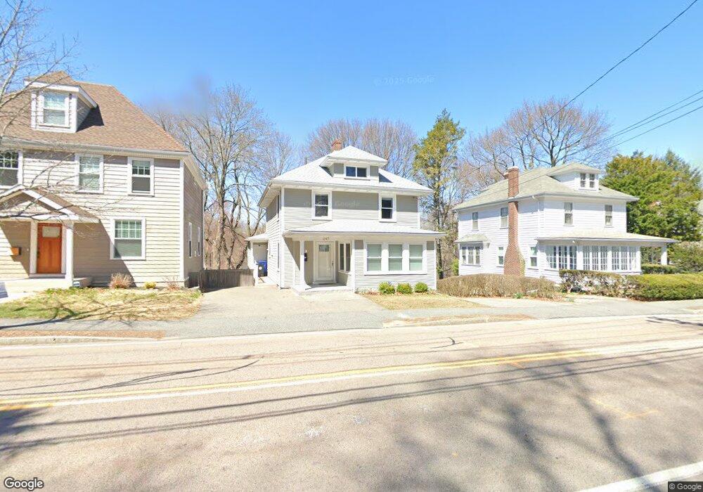
247 Eliot St Milton, MA 02186
Columbine Cliffs NeighborhoodEstimated Value: $862,722 - $1,025,000
4
Beds
2
Baths
1,621
Sq Ft
$583/Sq Ft
Est. Value
About This Home
This home is located at 247 Eliot St, Milton, MA 02186 and is currently estimated at $945,681, approximately $583 per square foot. 247 Eliot St is a home located in Norfolk County with nearby schools including Milton High School, Conservatory Lab Upper School, and St. Mary of the Hills School.
Ownership History
Date
Name
Owned For
Owner Type
Purchase Details
Closed on
Nov 22, 1996
Sold by
Haughey John and Haughey Helen L
Bought by
Strunk Robert H and Strunk Ellen J
Current Estimated Value
Home Financials for this Owner
Home Financials are based on the most recent Mortgage that was taken out on this home.
Original Mortgage
$139,740
Interest Rate
7.81%
Mortgage Type
Purchase Money Mortgage
Create a Home Valuation Report for This Property
The Home Valuation Report is an in-depth analysis detailing your home's value as well as a comparison with similar homes in the area
Home Values in the Area
Average Home Value in this Area
Purchase History
| Date | Buyer | Sale Price | Title Company |
|---|---|---|---|
| Strunk Robert H | $140,000 | -- |
Source: Public Records
Mortgage History
| Date | Status | Borrower | Loan Amount |
|---|---|---|---|
| Open | Strunk Robert H | $266,000 | |
| Closed | Strunk Robert H | $16,000 | |
| Closed | Strunk Robert H | $139,740 |
Source: Public Records
Tax History Compared to Growth
Tax History
| Year | Tax Paid | Tax Assessment Tax Assessment Total Assessment is a certain percentage of the fair market value that is determined by local assessors to be the total taxable value of land and additions on the property. | Land | Improvement |
|---|---|---|---|---|
| 2025 | $8,259 | $744,700 | $439,900 | $304,800 |
| 2024 | $7,973 | $730,100 | $419,000 | $311,100 |
| 2023 | $7,898 | $692,800 | $399,300 | $293,500 |
| 2022 | $7,826 | $627,600 | $399,300 | $228,300 |
| 2021 | $7,443 | $566,900 | $349,500 | $217,400 |
| 2020 | $7,187 | $547,800 | $334,900 | $212,900 |
| 2019 | $7,009 | $531,800 | $325,100 | $206,700 |
| 2018 | $6,505 | $471,000 | $266,800 | $204,200 |
| 2017 | $6,087 | $448,900 | $254,100 | $194,800 |
| 2016 | $5,146 | $381,200 | $190,600 | $190,600 |
| 2015 | $5,042 | $361,700 | $175,400 | $186,300 |
Source: Public Records
Map
Nearby Homes
- 72 Columbine Rd
- 36 Central Ave Unit 4
- 57 Columbine Rd
- 67 Idaho St
- 431 Eliot St
- 32-32R Temple St
- 30 Sanford St
- 23 Maryknoll St
- 30 Glenhill Rd
- 8 Faunce Rd Unit A
- 8 Violet St
- 214 Brook Rd
- 30 Pleasant Hill Ave Unit 32
- 86-88 Gallivan Blvd
- 11 French St
- 84-86 Codman Hill Ave
- 157 Delhi St
- 168 Brook Rd
- 80 Blue Hills Pkwy
- 147 Fairmount St