247 Farris Rd Kings Mountain, NC 28086
Estimated Value: $66,000 - $224,000
--
Bed
--
Bath
1,056
Sq Ft
$153/Sq Ft
Est. Value
About This Home
This home is located at 247 Farris Rd, Kings Mountain, NC 28086 and is currently estimated at $161,361, approximately $152 per square foot. 247 Farris Rd is a home located in Cleveland County with nearby schools including Grover Elementary School, Kings Mountain Middle, and Kings Mountain Intermediate School.
Ownership History
Date
Name
Owned For
Owner Type
Purchase Details
Closed on
Feb 26, 2021
Sold by
Edwards Joseph Albert and Edwards Linda Ann
Bought by
Mcgorry Thomas I and Mcgorry Laura M
Current Estimated Value
Home Financials for this Owner
Home Financials are based on the most recent Mortgage that was taken out on this home.
Original Mortgage
$154,545
Outstanding Balance
$138,539
Interest Rate
2.7%
Mortgage Type
New Conventional
Estimated Equity
$22,822
Purchase Details
Closed on
Nov 17, 2017
Sold by
Beaver Glenda and Beaver James E
Bought by
Jackson Harold Lee
Create a Home Valuation Report for This Property
The Home Valuation Report is an in-depth analysis detailing your home's value as well as a comparison with similar homes in the area
Home Values in the Area
Average Home Value in this Area
Purchase History
| Date | Buyer | Sale Price | Title Company |
|---|---|---|---|
| Mcgorry Thomas I | $153,000 | None Listed On Document | |
| Jackson Harold Lee | $35,000 | None Available |
Source: Public Records
Mortgage History
| Date | Status | Borrower | Loan Amount |
|---|---|---|---|
| Open | Mcgorry Thomas I | $154,545 |
Source: Public Records
Tax History Compared to Growth
Tax History
| Year | Tax Paid | Tax Assessment Tax Assessment Total Assessment is a certain percentage of the fair market value that is determined by local assessors to be the total taxable value of land and additions on the property. | Land | Improvement |
|---|---|---|---|---|
| 2025 | $630 | $99,257 | $13,248 | $86,009 |
| 2024 | $631 | $69,225 | $11,592 | $57,633 |
| 2023 | $628 | $69,225 | $11,592 | $57,633 |
| 2022 | $628 | $69,225 | $11,592 | $57,633 |
| 2021 | $628 | $69,225 | $11,592 | $57,633 |
| 2020 | $485 | $49,752 | $9,936 | $39,816 |
| 2019 | $485 | $49,752 | $9,936 | $39,816 |
| 2018 | $481 | $49,752 | $9,936 | $39,816 |
| 2017 | $479 | $49,752 | $9,936 | $39,816 |
| 2016 | $455 | $49,752 | $9,936 | $39,816 |
| 2015 | $595 | $67,411 | $10,598 | $56,813 |
| 2014 | $595 | $67,411 | $10,598 | $56,813 |
Source: Public Records
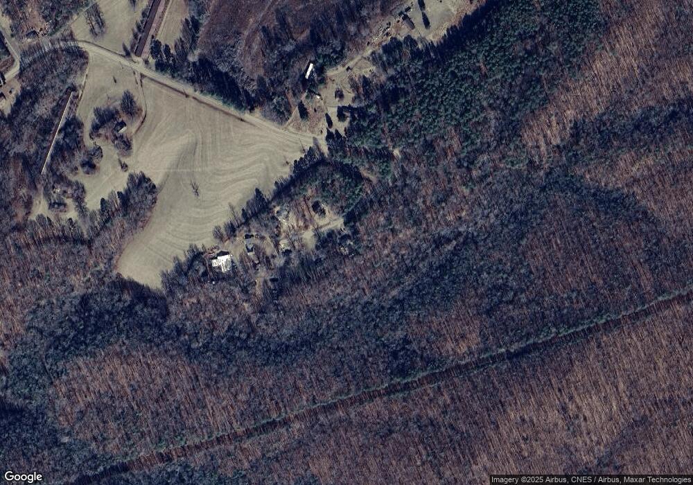
Map
Nearby Homes
- 226 Farris Rd
- 235 Stewart Rd Unit 2
- 100 W Highland Terrace
- 104 W Highland Terrace
- 2058 Bethlehem Rd
- 1141 Mountain Brook Dr
- 450 Dixon School Rd
- 130 Benton Rd
- 107 Arrowood Dr
- 120 Wiggins Ln
- 253 Highway 161 None N
- 764 S Battleground Ave
- 209 Fairdale St
- 107 Connor Ct
- 164 Linderman Lake Ln
- 210 Roy Bell Rd
- 531 Highway 161 N
- 1425 Bethlehem Rd
- 107 Tara Terrace
- 5264 Battleground Rd
- 249 Farris Rd
- 248 Farris Rd
- 253 Farris Rd
- 252 Farris Rd
- 257 Farris Rd
- 229 Farris Rd
- 227 Farris Rd Unit 2
- 227 Farris Rd
- 212 Farris Rd
- 205 Farris Rd Unit 8
- 142 Farris Rd
- 203 Farris Rd
- 134 Farris Rd
- 130 Farris Rd
- 105 Mountain Side Dr
- 120 Mountain Side Dr
- 108 Mountain Side Dr
- 160 Van Dyke Rd
- 128 Farris Rd
- 180 Huffman Ridge Rd