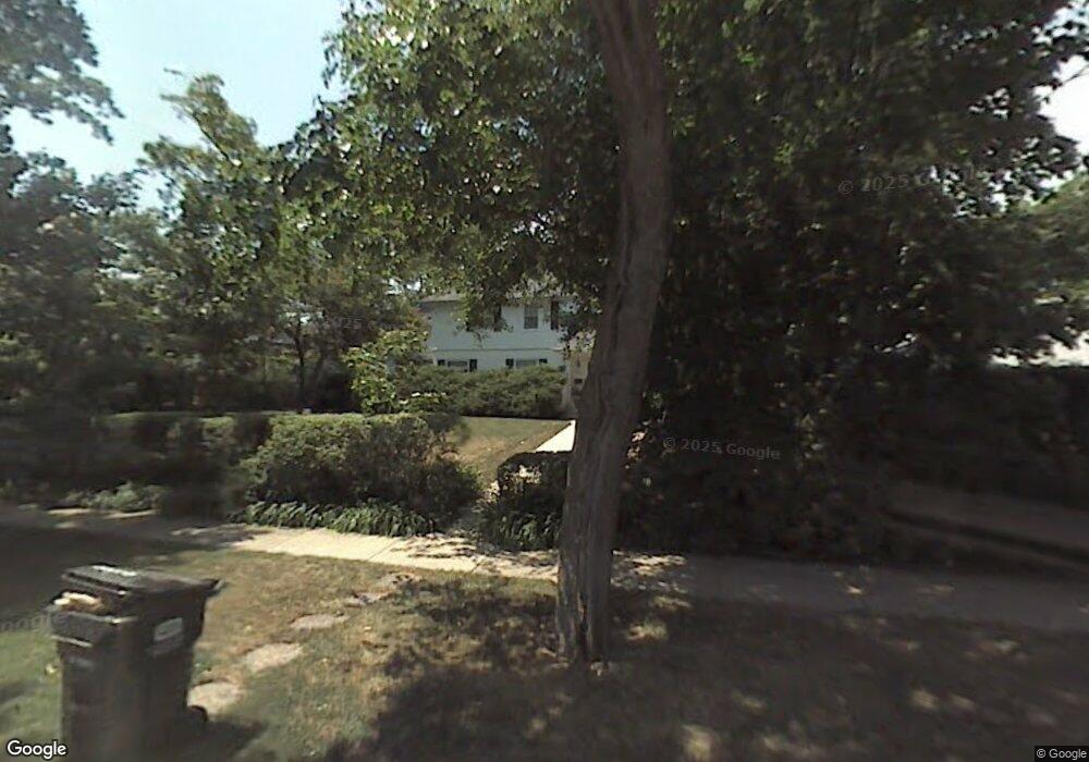
247 Franklin Rd Glencoe, IL 60022
Estimated Value: $1,748,000 - $2,378,000
5
Beds
5
Baths
2,770
Sq Ft
$710/Sq Ft
Est. Value
About This Home
This home is located at 247 Franklin Rd, Glencoe, IL 60022 and is currently estimated at $1,966,569, approximately $709 per square foot. 247 Franklin Rd is a home located in Cook County with nearby schools including South Elementary School, West School, and Central School.
Ownership History
Date
Name
Owned For
Owner Type
Purchase Details
Closed on
Jul 22, 2017
Sold by
Sigel Gabrielle and Epstein Howard
Bought by
Epstein Howard M and Howard M Epstein Trust
Current Estimated Value
Create a Home Valuation Report for This Property
The Home Valuation Report is an in-depth analysis detailing your home's value as well as a comparison with similar homes in the area
Home Values in the Area
Average Home Value in this Area
Purchase History
| Date | Buyer | Sale Price | Title Company |
|---|---|---|---|
| Epstein Howard M | -- | None Available |
Source: Public Records
Tax History
| Year | Tax Paid | Tax Assessment Tax Assessment Total Assessment is a certain percentage of the fair market value that is determined by local assessors to be the total taxable value of land and additions on the property. | Land | Improvement |
|---|---|---|---|---|
| 2025 | $23,515 | $130,000 | $35,952 | $94,048 |
| 2024 | $23,515 | $96,000 | $39,547 | $56,453 |
| 2023 | $21,172 | $96,000 | $39,547 | $56,453 |
| 2022 | $21,172 | $96,000 | $39,547 | $56,453 |
| 2021 | $25,619 | $92,690 | $37,749 | $54,941 |
| 2020 | $24,936 | $92,690 | $37,749 | $54,941 |
| 2019 | $23,800 | $99,667 | $37,749 | $61,918 |
| 2018 | $24,269 | $98,904 | $32,356 | $66,548 |
| 2017 | $23,593 | $98,904 | $32,356 | $66,548 |
| 2016 | $22,355 | $98,904 | $32,356 | $66,548 |
| 2015 | $22,532 | $88,651 | $27,413 | $61,238 |
| 2014 | $21,989 | $88,651 | $27,413 | $61,238 |
| 2013 | $20,960 | $88,651 | $27,413 | $61,238 |
Source: Public Records
Map
Nearby Homes
- 1077 Green Bay Rd
- 64 Crescent Dr
- 130 Rockgate Ln
- 130 Maple Hill Rd
- 1036 Elm Ridge Dr
- 396 Forest Edge Dr
- 1200 Green Bay Rd
- 794 Greenwood Ave
- 1180 Oak Ridge Dr
- 735 Grove St
- 1106 Hohlfelder Rd
- 677 Greenleaf Ave
- 1133 Mayfair Ln
- 55 S Deere Park Dr
- 476 Park Ave
- 488 Park Ave
- 679 Bluff St
- 808 Prairie Rd
- 759 Strawberry Hill Dr
- 378 South Ave
- 245 Franklin Rd
- 253 Franklin Rd
- 1027 Meadow Rd
- 1031 Meadow Rd
- 239 Franklin Rd
- 1023 Meadow Rd
- 1035 Meadow Rd
- 1021 Meadow Rd
- 257 Franklin Rd
- 248 Franklin Rd
- 246 Franklin Rd
- 231 Franklin Rd
- 234 Franklin Rd
- 261 Franklin Rd
- 250 Franklin Rd
- 1005 Meadow Rd
- 232 Franklin Rd
- 252 Franklin Rd
- 1063 Meadow Rd
- 221 Franklin Rd
Your Personal Tour Guide
Ask me questions while you tour the home.