247 Gatsey Ln Beaufort, NC 28516
Estimated Value: $742,000 - $1,593,000
4
Beds
6
Baths
3,497
Sq Ft
$336/Sq Ft
Est. Value
About This Home
This home is located at 247 Gatsey Ln, Beaufort, NC 28516 and is currently estimated at $1,176,306, approximately $336 per square foot. 247 Gatsey Ln is a home with nearby schools including Beaufort Elementary School, Beaufort Middle School, and East Carteret High School.
Ownership History
Date
Name
Owned For
Owner Type
Purchase Details
Closed on
Mar 13, 2020
Sold by
Ricker Gregory A and Ricker Leslie
Bought by
Turner Richard M and Turner Tina S
Current Estimated Value
Home Financials for this Owner
Home Financials are based on the most recent Mortgage that was taken out on this home.
Original Mortgage
$172,520
Outstanding Balance
$152,500
Interest Rate
3.4%
Mortgage Type
Future Advance Clause Open End Mortgage
Estimated Equity
$1,023,806
Purchase Details
Closed on
Feb 28, 2005
Sold by
Ricker Gregory A and Ricker Leslie
Bought by
U F S Llc
Purchase Details
Closed on
Oct 14, 2004
Create a Home Valuation Report for This Property
The Home Valuation Report is an in-depth analysis detailing your home's value as well as a comparison with similar homes in the area
Home Values in the Area
Average Home Value in this Area
Purchase History
| Date | Buyer | Sale Price | Title Company |
|---|---|---|---|
| Turner Richard M | $230,000 | None Available | |
| U F S Llc | -- | None Available | |
| -- | $197,500 | -- |
Source: Public Records
Mortgage History
| Date | Status | Borrower | Loan Amount |
|---|---|---|---|
| Open | Turner Richard M | $172,520 |
Source: Public Records
Tax History Compared to Growth
Tax History
| Year | Tax Paid | Tax Assessment Tax Assessment Total Assessment is a certain percentage of the fair market value that is determined by local assessors to be the total taxable value of land and additions on the property. | Land | Improvement |
|---|---|---|---|---|
| 2025 | $4,764 | $1,333,137 | $317,500 | $1,015,637 |
| 2024 | $2,981 | $576,636 | $132,732 | $443,904 |
| 2023 | $2,882 | $576,636 | $132,732 | $443,904 |
| 2022 | $1,080 | $231,529 | $132,732 | $98,797 |
| 2021 | $849 | $147,122 | $132,732 | $14,390 |
| 2020 | $857 | $147,122 | $132,732 | $14,390 |
| 2019 | $825 | $146,683 | $132,732 | $13,951 |
| 2017 | $840 | $146,683 | $132,732 | $13,951 |
| 2016 | $847 | $146,683 | $132,732 | $13,951 |
| 2015 | $833 | $146,683 | $132,732 | $13,951 |
| 2014 | $847 | $189,122 | $175,925 | $13,197 |
Source: Public Records
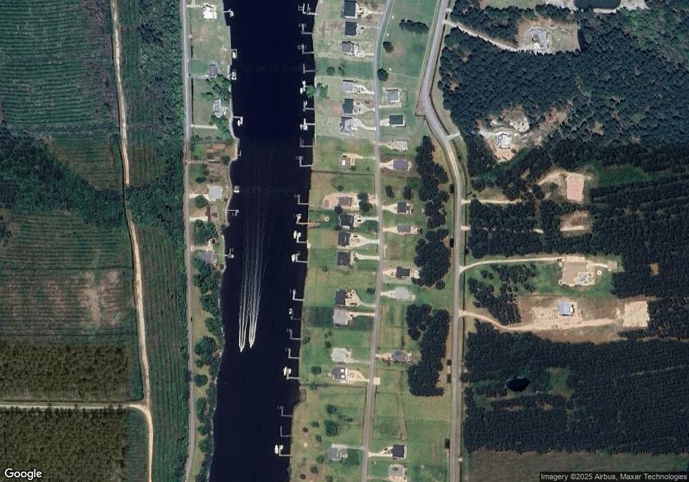
Map
Nearby Homes
- 224 Gatsey Ln
- 364 Old Stanton Rd Unit Slip A18
- 364 Old Stanton Rd
- 113 Sea Gate Dr
- 691 Sea Gate Dr
- 153 Country Club Ln
- 110 Tradewinds Rd
- 108 Tradewinds Rd
- 291 Core Creek Rd
- 119 Rv Park Dr
- 140 Country Club Ln
- 218 Old Ironsides Rd
- 850 Sea Gate Dr
- 888 Sea Gate Dr
- 1074 Sea Gate Dr
- 107 Seahorse Dr
- 105 Seahorse Dr
- 820 Laurel Rd
- 991 Hardesty Loop Rd
- 205 Hardesty Farm Rd