247 Highridge Rd Somerset, MA 02726
Pottersville NeighborhoodEstimated Value: $624,000 - $694,000
3
Beds
2
Baths
1,960
Sq Ft
$332/Sq Ft
Est. Value
About This Home
This home is located at 247 Highridge Rd, Somerset, MA 02726 and is currently estimated at $651,526, approximately $332 per square foot. 247 Highridge Rd is a home located in Bristol County with nearby schools including North Elementary School, Somerset Middle School, and SCEC Life Academy.
Ownership History
Date
Name
Owned For
Owner Type
Purchase Details
Closed on
Sep 10, 2001
Sold by
Steen Steven B
Bought by
Nadeau Gerard P and Nadeau Kimberly A
Current Estimated Value
Create a Home Valuation Report for This Property
The Home Valuation Report is an in-depth analysis detailing your home's value as well as a comparison with similar homes in the area
Home Values in the Area
Average Home Value in this Area
Purchase History
| Date | Buyer | Sale Price | Title Company |
|---|---|---|---|
| Nadeau Gerard P | $238,000 | -- | |
| Nadeau Gerard P | $238,000 | -- |
Source: Public Records
Mortgage History
| Date | Status | Borrower | Loan Amount |
|---|---|---|---|
| Open | Nadeau Gerard P | $176,000 | |
| Closed | Nadeau Gerard P | $188,500 | |
| Closed | Nadeau Gerard P | $188,500 |
Source: Public Records
Tax History Compared to Growth
Tax History
| Year | Tax Paid | Tax Assessment Tax Assessment Total Assessment is a certain percentage of the fair market value that is determined by local assessors to be the total taxable value of land and additions on the property. | Land | Improvement |
|---|---|---|---|---|
| 2025 | $6,775 | $509,400 | $193,800 | $315,600 |
| 2024 | $6,343 | $495,900 | $193,800 | $302,100 |
| 2023 | $5,682 | $448,100 | $176,100 | $272,000 |
| 2022 | $5,271 | $396,600 | $153,300 | $243,300 |
| 2021 | $5,327 | $362,900 | $139,400 | $223,500 |
| 2020 | $5,286 | $347,300 | $139,400 | $207,900 |
| 2019 | $5,926 | $324,700 | $139,400 | $185,300 |
| 2018 | $5,436 | $320,500 | $139,400 | $181,100 |
| 2017 | $5,385 | $309,500 | $139,400 | $170,100 |
| 2016 | $5,419 | $309,500 | $139,400 | $170,100 |
| 2015 | $5,205 | $300,000 | $141,600 | $158,400 |
| 2014 | $7,313 | $302,800 | $144,400 | $158,400 |
Source: Public Records
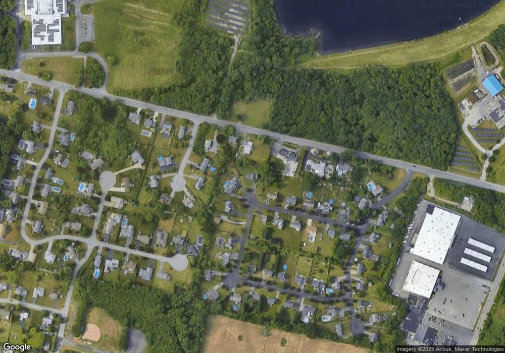
Map
Nearby Homes
- 64 Denham Ave
- 69 Denham Ave
- 107 Manchester Ave
- 112 Rounseville Ave
- 601 Eastview Ave
- 259 Lynch Ave
- 435 Fairway Dr
- 2546 County St
- 239 Maple St
- 165 Yankee Peddler Dr
- 65 Marvel St
- 190 Gibbs St
- 0 Palmer St
- 138 Bourn Ave
- 562 Main St
- 64 Midland Rd
- 224 Chace St
- 95 Brookside Rd
- 604 Lafayette St
- 154 Tess Abigail Ln
- 235 Highridge Rd
- 70 Red Fox Trail
- 331 Whetstone Hill Rd
- 281 Whetstone Hill Rd
- 99 Red Fox Trail
- 217 Highridge Rd
- 355 Whetstone Hill Rd
- 52 Red Fox Trail
- 30 Hannah Dr
- 81 Red Fox Trail
- 50 Hannah Dr
- 195 Highridge Rd
- 63 Red Fox Trail
- 34 Red Fox Trail
- 70 Hannah Dr
- 259 Whetstone Hill Rd
- 175 Highridge Rd
- 47 Red Fox Trail
- 15 Hannah Dr
- 155 Highridge Rd