247 Locust Dr Milford, PA 18337
Estimated Value: $315,525 - $444,000
3
Beds
2
Baths
1,280
Sq Ft
$297/Sq Ft
Est. Value
About This Home
This home is located at 247 Locust Dr, Milford, PA 18337 and is currently estimated at $379,763, approximately $296 per square foot. 247 Locust Dr is a home located in Pike County with nearby schools including Delaware Valley High School.
Ownership History
Date
Name
Owned For
Owner Type
Purchase Details
Closed on
Jul 20, 2018
Sold by
Thiel William
Bought by
Kemmelein Joan
Current Estimated Value
Purchase Details
Closed on
Apr 2, 2018
Sold by
Carson Ben and Secretary Of Hud
Bought by
Thiel William
Purchase Details
Closed on
Aug 8, 2017
Sold by
Finance Of America Mortgage Llc
Bought by
Secretary Of Hud
Purchase Details
Closed on
Nov 15, 2016
Sold by
Holden Roy F and Holden Christina
Bought by
Finance Of America Mortgage Llc
Purchase Details
Closed on
May 15, 2008
Sold by
Helms Leland E and Helms Jane E
Bought by
Mandoske Robert and Mandoske Arrena
Home Financials for this Owner
Home Financials are based on the most recent Mortgage that was taken out on this home.
Original Mortgage
$70,000
Interest Rate
5.91%
Mortgage Type
Purchase Money Mortgage
Create a Home Valuation Report for This Property
The Home Valuation Report is an in-depth analysis detailing your home's value as well as a comparison with similar homes in the area
Home Values in the Area
Average Home Value in this Area
Purchase History
| Date | Buyer | Sale Price | Title Company |
|---|---|---|---|
| Kemmelein Joan | $211,347 | Roaring Brook Abstract Co | |
| Thiel William | $135,000 | None Available | |
| Secretary Of Hud | -- | Servicelink | |
| Finance Of America Mortgage Llc | $1,300 | None Available | |
| Mandoske Robert | $75,000 | None Available |
Source: Public Records
Mortgage History
| Date | Status | Borrower | Loan Amount |
|---|---|---|---|
| Previous Owner | Mandoske Robert | $70,000 |
Source: Public Records
Tax History Compared to Growth
Tax History
| Year | Tax Paid | Tax Assessment Tax Assessment Total Assessment is a certain percentage of the fair market value that is determined by local assessors to be the total taxable value of land and additions on the property. | Land | Improvement |
|---|---|---|---|---|
| 2025 | $4,454 | $29,480 | $2,750 | $26,730 |
| 2024 | $4,454 | $29,480 | $2,750 | $26,730 |
| 2023 | $4,387 | $29,480 | $2,750 | $26,730 |
| 2022 | $4,270 | $29,480 | $2,750 | $26,730 |
| 2021 | $4,226 | $29,480 | $2,750 | $26,730 |
| 2020 | $4,205 | $29,480 | $2,750 | $26,730 |
| 2019 | $4,059 | $29,480 | $2,750 | $26,730 |
| 2018 | $4,059 | $29,480 | $2,750 | $26,730 |
| 2017 | $3,950 | $29,480 | $2,750 | $26,730 |
| 2016 | $0 | $29,480 | $2,750 | $26,730 |
| 2014 | -- | $29,480 | $2,750 | $26,730 |
Source: Public Records
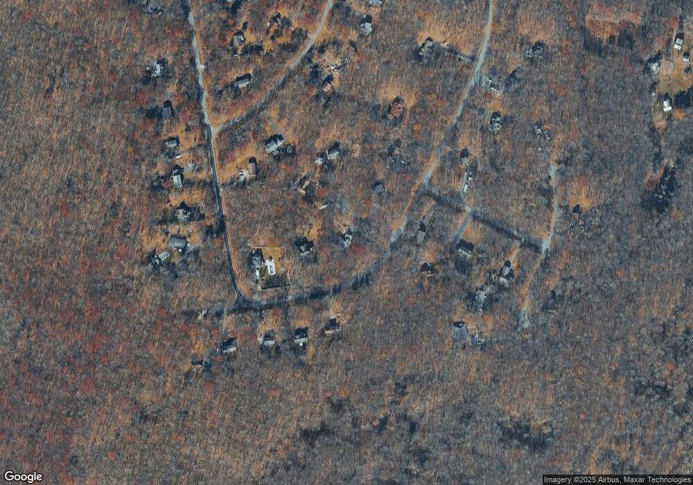
Map
Nearby Homes
- 146 Larch Dr
- 0 Larkspur Ln
- 149 Ash Ln
- 0 Aspen Dr
- 0 Log Tavern Rd
- 436 Log Tavern Rd
- 203 Primrose Ln
- 0 Dwarfskill Ct
- 123 Lewis Rd
- Lot 11 Hebula Rd
- Lot 1-A Hebula Rd
- 133 Hebula Rd
- 151 Primrose Ln
- Lot 17 Hartman Hill Rd
- 119 Aspen Dr
- 0 Arrowood Dr
- 507 Log Tavern Rd
- 177 Chokeberry Dr
- 130 Magnolia Ln
- 180 Chokeberry Dr