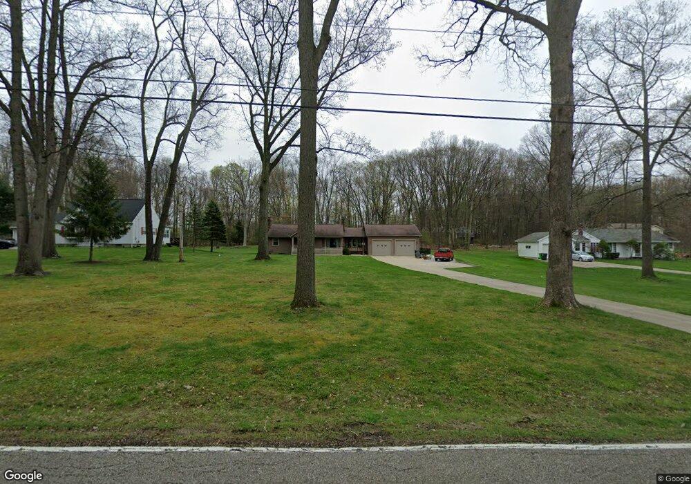
247 N Elm Ave Tallmadge, OH 44278
Estimated Value: $175,000 - $242,000
2
Beds
1
Bath
1,064
Sq Ft
$201/Sq Ft
Est. Value
About This Home
This home is located at 247 N Elm Ave, Tallmadge, OH 44278 and is currently estimated at $213,448, approximately $200 per square foot. 247 N Elm Ave is a home located in Summit County with nearby schools including Tallmadge Middle School, Tallmadge High School, and Cornerstone Community School.
Ownership History
Date
Name
Owned For
Owner Type
Purchase Details
Closed on
Apr 28, 2006
Sold by
Palm Mary G
Bought by
Blatt Thomas E
Current Estimated Value
Home Financials for this Owner
Home Financials are based on the most recent Mortgage that was taken out on this home.
Original Mortgage
$80,000
Outstanding Balance
$46,386
Interest Rate
6.42%
Mortgage Type
Purchase Money Mortgage
Estimated Equity
$167,062
Create a Home Valuation Report for This Property
The Home Valuation Report is an in-depth analysis detailing your home's value as well as a comparison with similar homes in the area
Home Values in the Area
Average Home Value in this Area
Purchase History
| Date | Buyer | Sale Price | Title Company |
|---|---|---|---|
| Blatt Thomas E | $115,000 | Falls Title Agency Inc |
Source: Public Records
Mortgage History
| Date | Status | Borrower | Loan Amount |
|---|---|---|---|
| Open | Blatt Thomas E | $80,000 |
Source: Public Records
Tax History Compared to Growth
Tax History
| Year | Tax Paid | Tax Assessment Tax Assessment Total Assessment is a certain percentage of the fair market value that is determined by local assessors to be the total taxable value of land and additions on the property. | Land | Improvement |
|---|---|---|---|---|
| 2025 | $3,103 | $61,943 | $19,614 | $42,329 |
| 2024 | $3,103 | $61,943 | $19,614 | $42,329 |
| 2023 | $3,103 | $61,943 | $19,614 | $42,329 |
| 2022 | $3,082 | $50,295 | $15,820 | $34,475 |
| 2021 | $3,096 | $50,295 | $15,820 | $34,475 |
| 2020 | $3,072 | $50,300 | $15,820 | $34,480 |
| 2019 | $2,420 | $35,430 | $12,070 | $23,360 |
| 2018 | $2,133 | $35,430 | $12,070 | $23,360 |
| 2017 | $2,032 | $35,430 | $12,070 | $23,360 |
| 2016 | $2,191 | $33,420 | $12,070 | $21,350 |
| 2015 | $2,032 | $33,420 | $12,070 | $21,350 |
| 2014 | $2,018 | $33,420 | $12,070 | $21,350 |
| 2013 | $1,946 | $32,810 | $12,070 | $20,740 |
Source: Public Records
Map
Nearby Homes
- 213 Green Hill Dr
- 288 S Munroe Rd
- 243 S Munroe Rd
- 185 Reserve Dr
- 353 Southeast Ave
- 331 Southeast Ave
- 810 Norton Dr
- 313 Southeast Ave
- 821 Olde Orchard Dr
- 786 Southeast Ave
- 523 S Munroe Rd
- 206 Fawnwood Dr
- 0 East Ave
- 549 S Munroe Rd
- 130 Strecker Dr
- 988 Beechwood Dr
- 2333 Eastwood Ave
- 1029 Maple St
- 500 Dottie Ct Unit 109
- 689 Alaho St