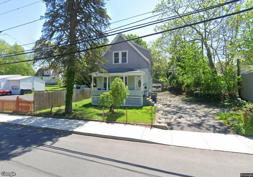
247 Poquonnock Rd Groton, CT 06340
Estimated Value: $334,000 - $398,000
6
Beds
2
Baths
1,988
Sq Ft
$186/Sq Ft
Est. Value
About This Home
This home is located at 247 Poquonnock Rd, Groton, CT 06340 and is currently estimated at $368,775, approximately $185 per square foot. 247 Poquonnock Rd is a home located in New London County with nearby schools including Catherine Kolnaski STEAM Magnet School, Groton Middle School, and Robert E. Fitch High School.
Ownership History
Date
Name
Owned For
Owner Type
Purchase Details
Closed on
Dec 23, 2011
Sold by
Ramos Jose
Bought by
Desir Sophia
Current Estimated Value
Home Financials for this Owner
Home Financials are based on the most recent Mortgage that was taken out on this home.
Original Mortgage
$120,197
Outstanding Balance
$83,164
Interest Rate
4.25%
Mortgage Type
FHA
Estimated Equity
$285,611
Purchase Details
Closed on
Jun 30, 2006
Sold by
Macierowski Andrew
Bought by
Ramos Jose
Home Financials for this Owner
Home Financials are based on the most recent Mortgage that was taken out on this home.
Original Mortgage
$170,000
Interest Rate
6.58%
Purchase Details
Closed on
May 18, 1998
Sold by
Timpano Virginia
Bought by
Macierowski Andrew E
Home Financials for this Owner
Home Financials are based on the most recent Mortgage that was taken out on this home.
Original Mortgage
$75,900
Interest Rate
6.75%
Mortgage Type
Unknown
Create a Home Valuation Report for This Property
The Home Valuation Report is an in-depth analysis detailing your home's value as well as a comparison with similar homes in the area
Home Values in the Area
Average Home Value in this Area
Purchase History
| Date | Buyer | Sale Price | Title Company |
|---|---|---|---|
| Desir Sophia | -- | -- | |
| Ramos Jose | $190,000 | -- | |
| Macierowski Andrew E | $79,900 | -- |
Source: Public Records
Mortgage History
| Date | Status | Borrower | Loan Amount |
|---|---|---|---|
| Open | Macierowski Andrew E | $120,197 | |
| Previous Owner | Macierowski Andrew E | $170,000 | |
| Previous Owner | Macierowski Andrew E | $75,900 |
Source: Public Records
Tax History Compared to Growth
Tax History
| Year | Tax Paid | Tax Assessment Tax Assessment Total Assessment is a certain percentage of the fair market value that is determined by local assessors to be the total taxable value of land and additions on the property. | Land | Improvement |
|---|---|---|---|---|
| 2025 | $4,616 | $159,670 | $82,201 | $77,469 |
| 2024 | $4,294 | $159,670 | $82,201 | $77,469 |
| 2023 | $4,119 | $159,670 | $49,000 | $110,670 |
| 2022 | $3,984 | $159,670 | $49,000 | $110,670 |
| 2021 | $3,160 | $104,370 | $31,430 | $72,940 |
| 2020 | $3,070 | $104,370 | $31,430 | $72,940 |
| 2019 | $2,971 | $104,370 | $31,430 | $72,940 |
| 2018 | $3,001 | $104,370 | $31,430 | $72,940 |
| 2017 | $3,011 | $104,370 | $31,430 | $72,940 |
| 2016 | $3,259 | $119,980 | $39,620 | $80,360 |
| 2015 | $3,218 | $119,980 | $39,620 | $80,360 |
| 2014 | $2,994 | $119,980 | $39,620 | $80,360 |
Source: Public Records
Map
Nearby Homes
- 41 Joe Ave
- 43 George Ave Unit B
- 43 George Ave Unit 1
- 33 George Ave Unit B
- 55 Virginia Ave Unit C
- 3 George Ave
- 108 Warner St
- 42 Godfrey St
- 12 Burgess Place
- 21 Chicago Ave
- 63 Johl Dr
- 70 Lorraine Rd
- 170 Meridian St
- 42 A St
- 136 Meridian St Unit 103
- 34 D St
- 128 Meridian St Unit 210
- 120 B St
- 520 Shennecossett Rd Unit 2
- 267 Bridge St Unit 17