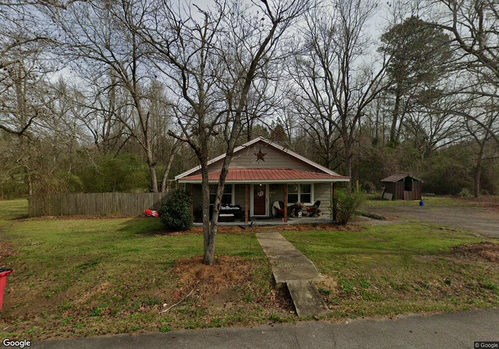
247 Printup St Dearing, GA 30808
Estimated Value: $138,357 - $200,000
3
Beds
1
Bath
1,240
Sq Ft
$140/Sq Ft
Est. Value
About This Home
This home is located at 247 Printup St, Dearing, GA 30808 and is currently estimated at $173,339, approximately $139 per square foot. 247 Printup St is a home with nearby schools including Thomson High School.
Ownership History
Date
Name
Owned For
Owner Type
Purchase Details
Closed on
Jan 15, 2016
Sold by
Pennington Jonathan Adam
Bought by
Pennington Rozanne Delorean
Current Estimated Value
Home Financials for this Owner
Home Financials are based on the most recent Mortgage that was taken out on this home.
Original Mortgage
$26,187
Interest Rate
3.99%
Mortgage Type
New Conventional
Purchase Details
Closed on
Jul 1, 2005
Sold by
Hunt Lawrence
Bought by
Hunt Jeff
Purchase Details
Closed on
Oct 6, 1950
Bought by
Hunt George L
Create a Home Valuation Report for This Property
The Home Valuation Report is an in-depth analysis detailing your home's value as well as a comparison with similar homes in the area
Home Values in the Area
Average Home Value in this Area
Purchase History
| Date | Buyer | Sale Price | Title Company |
|---|---|---|---|
| Pennington Rozanne Delorean | $23,564 | -- | |
| Hunt Jeff | -- | -- | |
| Hunt George L | -- | -- |
Source: Public Records
Mortgage History
| Date | Status | Borrower | Loan Amount |
|---|---|---|---|
| Closed | Pennington Rozanne Delorean | $26,187 |
Source: Public Records
Tax History Compared to Growth
Tax History
| Year | Tax Paid | Tax Assessment Tax Assessment Total Assessment is a certain percentage of the fair market value that is determined by local assessors to be the total taxable value of land and additions on the property. | Land | Improvement |
|---|---|---|---|---|
| 2024 | $922 | $39,951 | $3,276 | $36,675 |
| 2023 | $903 | $38,287 | $3,120 | $35,167 |
| 2022 | $704 | $31,594 | $1,872 | $29,722 |
| 2021 | $559 | $25,089 | $1,872 | $23,217 |
| 2020 | $330 | $15,715 | $3,120 | $12,595 |
| 2019 | $334 | $15,715 | $3,120 | $12,595 |
| 2018 | $338 | $15,715 | $3,120 | $12,595 |
| 2017 | $327 | $15,715 | $3,120 | $12,595 |
| 2016 | $363 | $16,892 | $3,120 | $13,772 |
| 2015 | $332 | $16,892 | $3,120 | $13,772 |
| 2014 | $333 | $16,892 | $3,120 | $13,772 |
| 2013 | -- | $16,892 | $3,120 | $13,772 |
Source: Public Records
Map
Nearby Homes
- 122 First St
- 259 S Main St
- 3191 Old Augusta Rd
- 3171 Old Augusta Rd
- 290 Neals Mill Rd
- 4099 Randall Hunt Rd
- 4062 Horsham Trail
- 4327 Iron Hill Rd
- 3946 Radford Gay Rd
- 2522 Ellington Airline Rd
- 0 Adams Chapel Rd
- 0 Whitaker Rd Unit 540660
- 2786 Tudor Rd
- 0 Mitchner Rd Unit 548843
- 0 Randall Hunt Rd Unit 24088941
- 1109 Miles Rd
- 0 Adams-Reeves Rd Unit 523648
- 854 Sweet Grass Cir
- 227 Pebble Ln
- 832 Sweet Grass Cir