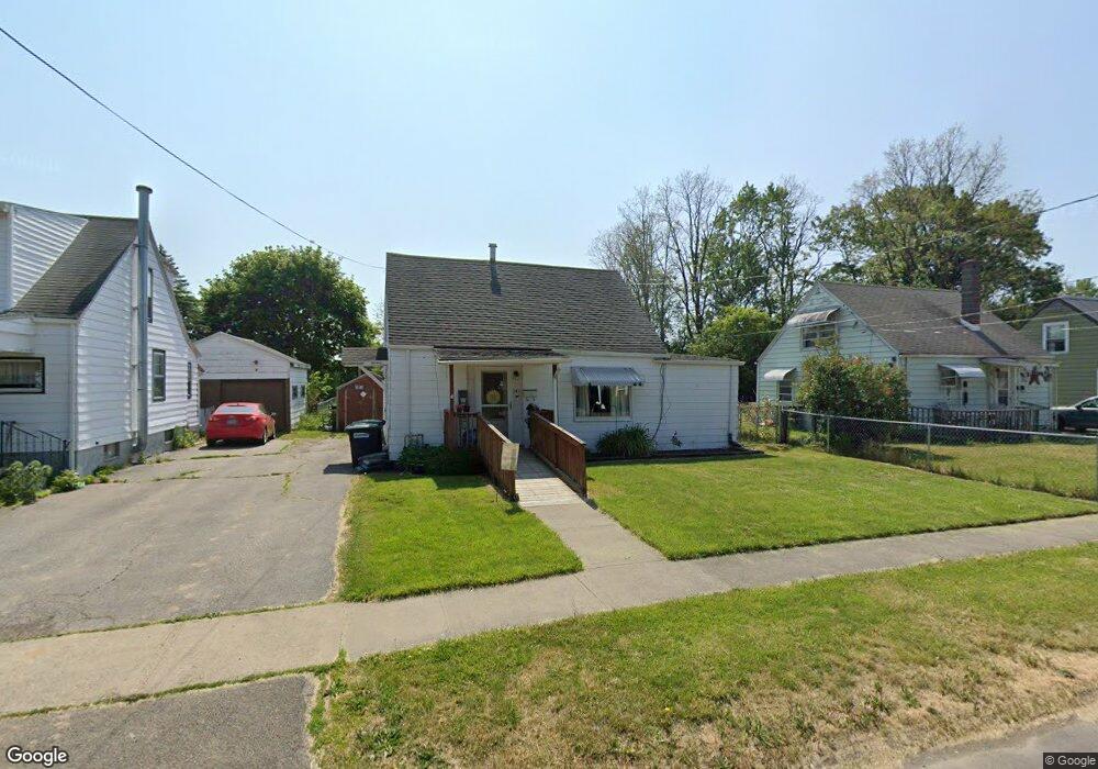
247 Robert St Elmira, NY 14904
Estimated Value: $55,000 - $97,215
2
Beds
1
Bath
1,128
Sq Ft
$72/Sq Ft
Est. Value
About This Home
This home is located at 247 Robert St, Elmira, NY 14904 and is currently estimated at $81,554, approximately $72 per square foot. 247 Robert St is a home located in Chemung County with nearby schools including Pine City School, Broadway Elementary School, and Elmira High School.
Ownership History
Date
Name
Owned For
Owner Type
Purchase Details
Closed on
Dec 21, 2009
Sold by
Scalia Michael
Bought by
Moffe Jessica M
Current Estimated Value
Home Financials for this Owner
Home Financials are based on the most recent Mortgage that was taken out on this home.
Original Mortgage
$29,475
Interest Rate
4.92%
Mortgage Type
Purchase Money Mortgage
Purchase Details
Closed on
Jun 24, 2004
Sold by
Est Scalia Ruth B
Bought by
Scalia Michael and Scalia Victoria M
Create a Home Valuation Report for This Property
The Home Valuation Report is an in-depth analysis detailing your home's value as well as a comparison with similar homes in the area
Home Values in the Area
Average Home Value in this Area
Purchase History
| Date | Buyer | Sale Price | Title Company |
|---|---|---|---|
| Moffe Jessica M | $37,000 | John W Maloney | |
| Scalia Michael | $36,000 | John W Maloney |
Source: Public Records
Mortgage History
| Date | Status | Borrower | Loan Amount |
|---|---|---|---|
| Open | Moffe Jessica | $30,000 | |
| Closed | Moffe Jessica M | $29,475 |
Source: Public Records
Tax History Compared to Growth
Tax History
| Year | Tax Paid | Tax Assessment Tax Assessment Total Assessment is a certain percentage of the fair market value that is determined by local assessors to be the total taxable value of land and additions on the property. | Land | Improvement |
|---|---|---|---|---|
| 2024 | $1,034 | $42,800 | $12,950 | $29,850 |
| 2023 | $992 | $42,800 | $12,950 | $29,850 |
| 2022 | $1,478 | $42,800 | $12,950 | $29,850 |
| 2021 | $120 | $40,400 | $12,200 | $28,200 |
| 2020 | $960 | $40,400 | $12,200 | $28,200 |
| 2019 | $665 | $40,400 | $12,200 | $28,200 |
| 2018 | $874 | $40,400 | $12,200 | $28,200 |
| 2017 | $854 | $40,400 | $12,200 | $28,200 |
| 2016 | $884 | $40,400 | $12,200 | $28,200 |
| 2015 | -- | $40,400 | $12,200 | $28,200 |
| 2014 | -- | $45,000 | $9,200 | $35,800 |
Source: Public Records
Map
Nearby Homes
- 239 Robert St
- 266 Robert St
- 268 Robert St
- 1112 Richard St
- 1009 Charles St
- 297 Universal Ave
- 330 Soper St
- 1202 Woodbine Ave
- 320 Soper St
- 1151 Shannon Ave
- 777 Pennsylvania Ave
- 466 Reynolds St
- 451 Cypress St
- 616 Reynolds St
- 752 S Main St
- 750 S Main St
- 461 Beecher St
- 771 Southport St
- 514 Beecher St
- 1017 Smith St
- 245 Robert St
- 249 Robert St
- 251 Robert St
- 243 Robert St
- 241 Robert St
- 253 Robert St
- 240 Robert St
- 238 Robert St
- 242 Robert St
- 1053 Plymouth Ave
- 1051 Plymouth Ave
- 244 Robert St
- 255 Robert St
- 1055 Plymouth Ave
- 246 Robert St
- 1057 Plymouth Ave
- 239 Universal Ave
- 236 Robert St
- 248 Robert St
- 1059 Plymouth Ave