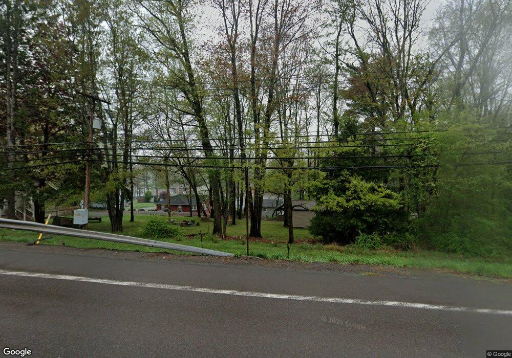
247 Route 507 Tafton, PA 18464
Estimated Value: $256,000 - $265,350
3
Beds
2
Baths
870
Sq Ft
$300/Sq Ft
Est. Value
About This Home
This home is located at 247 Route 507, Tafton, PA 18464 and is currently estimated at $260,675, approximately $299 per square foot. 247 Route 507 is a home with nearby schools including Wallenpaupack Area High School and Son-Shine Christian School.
Ownership History
Date
Name
Owned For
Owner Type
Purchase Details
Closed on
Sep 12, 2022
Sold by
Andress Scott R
Bought by
Andress Scott R and Andress Carlene F
Current Estimated Value
Purchase Details
Closed on
Feb 26, 2021
Sold by
Zoll Linda L
Bought by
Andress Scott R and Miller Bruce
Purchase Details
Closed on
Aug 29, 2006
Sold by
Capili Donna and Lang Frank
Bought by
Licata Natalie and Licata Christopher
Home Financials for this Owner
Home Financials are based on the most recent Mortgage that was taken out on this home.
Original Mortgage
$289,600
Interest Rate
8.35%
Mortgage Type
Assumption
Create a Home Valuation Report for This Property
The Home Valuation Report is an in-depth analysis detailing your home's value as well as a comparison with similar homes in the area
Home Values in the Area
Average Home Value in this Area
Purchase History
| Date | Buyer | Sale Price | Title Company |
|---|---|---|---|
| Andress Scott R | -- | -- | |
| Andress Scott R | $170,000 | None Available | |
| Licata Natalie | $362,000 | Accord Abstract Inc |
Source: Public Records
Mortgage History
| Date | Status | Borrower | Loan Amount |
|---|---|---|---|
| Previous Owner | Licata Natalie | $289,600 |
Source: Public Records
Tax History Compared to Growth
Tax History
| Year | Tax Paid | Tax Assessment Tax Assessment Total Assessment is a certain percentage of the fair market value that is determined by local assessors to be the total taxable value of land and additions on the property. | Land | Improvement |
|---|---|---|---|---|
| 2025 | $2,275 | $20,370 | $7,500 | $12,870 |
| 2024 | $2,275 | $20,370 | $7,500 | $12,870 |
| 2023 | $2,189 | $20,370 | $7,500 | $12,870 |
| 2022 | $2,138 | $20,370 | $7,500 | $12,870 |
| 2021 | $2,077 | $20,370 | $7,500 | $12,870 |
| 2020 | $2,077 | $20,370 | $7,500 | $12,870 |
| 2019 | $2,009 | $20,370 | $7,500 | $12,870 |
| 2018 | $1,955 | $20,370 | $7,500 | $12,870 |
| 2017 | $1,883 | $20,370 | $7,500 | $12,870 |
| 2016 | $0 | $20,370 | $7,500 | $12,870 |
| 2015 | -- | $20,370 | $7,500 | $12,870 |
| 2014 | -- | $20,370 | $7,500 | $12,870 |
Source: Public Records
Map
Nearby Homes
- 65 Cone Ln
- 0 Pennsylvania 507
- 108 Old Shore Rd
- 128 Lynns Hill Rd
- 0 Birch Lane & Spruce Rd Unit PWBPW253571
- 132 Spruce Rd
- 115 Dirk Rd
- 101 Antler Ridge Ct
- Lot 45 Soose Way
- 182 Soose Way
- 717 Paper Birch N
- 763/764 Mountain Snow Cir
- 763764 Mountain Snow Cir
- Lot 762 Mountain Snow Cir
- 129 Timber Ln
- Lot 44 Ripplewood Dr
- Lot 43 Ripplewood Dr
- Lot 42 Ripplewood Dr
- 801 Sun Valley Ct
- 115 Deer Path