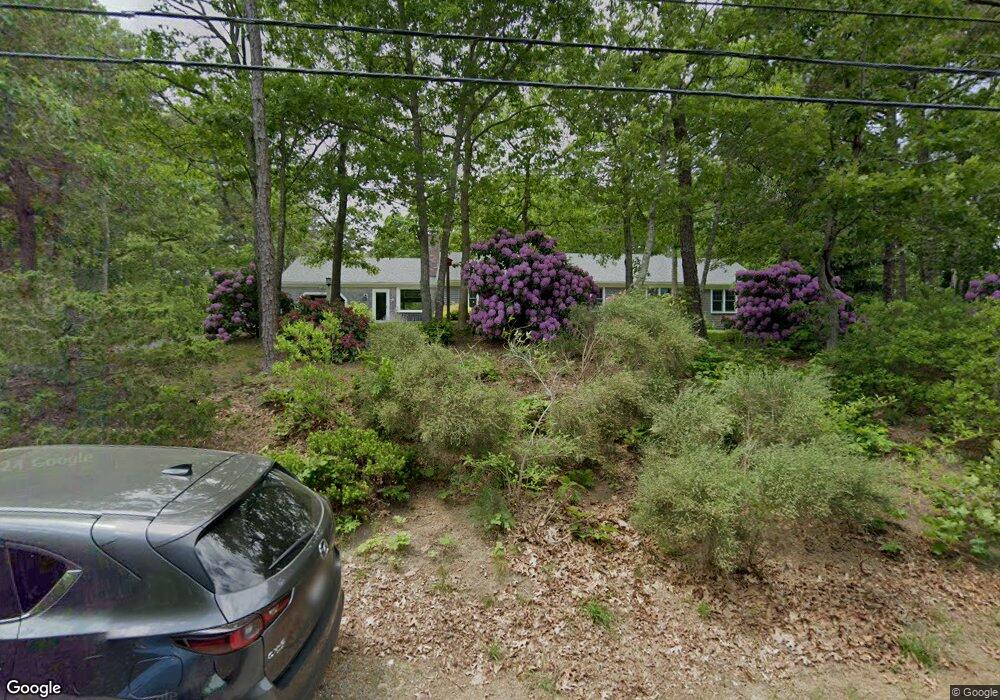
247 Salt Rock Rd Barnstable, MA 02630
Barnstable Village NeighborhoodEstimated Value: $838,000 - $1,069,000
3
Beds
2
Baths
1,680
Sq Ft
$546/Sq Ft
Est. Value
About This Home
This home is located at 247 Salt Rock Rd, Barnstable, MA 02630 and is currently estimated at $917,867, approximately $546 per square foot. 247 Salt Rock Rd is a home located in Barnstable County with nearby schools including West Barnstable Elementary School, Barnstable United Elementary School, and Barnstable Intermediate School.
Ownership History
Date
Name
Owned For
Owner Type
Purchase Details
Closed on
Oct 28, 2011
Sold by
Gray Jean C
Bought by
Scott Michael P
Current Estimated Value
Home Financials for this Owner
Home Financials are based on the most recent Mortgage that was taken out on this home.
Original Mortgage
$244,000
Outstanding Balance
$167,106
Interest Rate
4.11%
Mortgage Type
Purchase Money Mortgage
Estimated Equity
$750,761
Create a Home Valuation Report for This Property
The Home Valuation Report is an in-depth analysis detailing your home's value as well as a comparison with similar homes in the area
Home Values in the Area
Average Home Value in this Area
Purchase History
| Date | Buyer | Sale Price | Title Company |
|---|---|---|---|
| Scott Michael P | $305,000 | -- |
Source: Public Records
Mortgage History
| Date | Status | Borrower | Loan Amount |
|---|---|---|---|
| Open | Scott Michael P | $244,000 |
Source: Public Records
Tax History Compared to Growth
Tax History
| Year | Tax Paid | Tax Assessment Tax Assessment Total Assessment is a certain percentage of the fair market value that is determined by local assessors to be the total taxable value of land and additions on the property. | Land | Improvement |
|---|---|---|---|---|
| 2025 | $7,574 | $819,700 | $200,900 | $618,800 |
| 2024 | $7,125 | $813,300 | $200,900 | $612,400 |
| 2023 | $6,500 | $723,800 | $198,500 | $525,300 |
| 2022 | $6,590 | $590,500 | $141,200 | $449,300 |
| 2021 | $5,942 | $507,400 | $141,200 | $366,200 |
| 2020 | $4,656 | $379,800 | $141,200 | $238,600 |
| 2019 | $4,277 | $350,000 | $141,200 | $208,800 |
| 2018 | $4,153 | $330,100 | $154,800 | $175,300 |
| 2017 | $4,018 | $321,400 | $154,800 | $166,600 |
| 2016 | $3,942 | $319,700 | $153,100 | $166,600 |
| 2015 | $3,426 | $282,900 | $122,800 | $160,100 |
Source: Public Records
Map
Nearby Homes
- 267 Salt Rock Rd
- 227 Salt Rock Rd
- 244 Salt Rock Rd
- 264 Salt Rock Rd
- 159 Flintrock Rd
- 228 Salt Rock Rd
- 146 Flintrock Rd
- 187 Flintrock Rd
- 278 Salt Rock Rd
- 289 Salt Rock Rd
- 54 Palomino Dr
- 246 Flintrock Rd
- 205 Salt Rock Rd
- 520 Flint Rock Rd
- 212 Salt Rock Rd
- 63 Marble Rd
- 203 Flintrock Rd
- 47 Marble Rd
- 74 Palomino Dr
- 118 Flintrock Rd