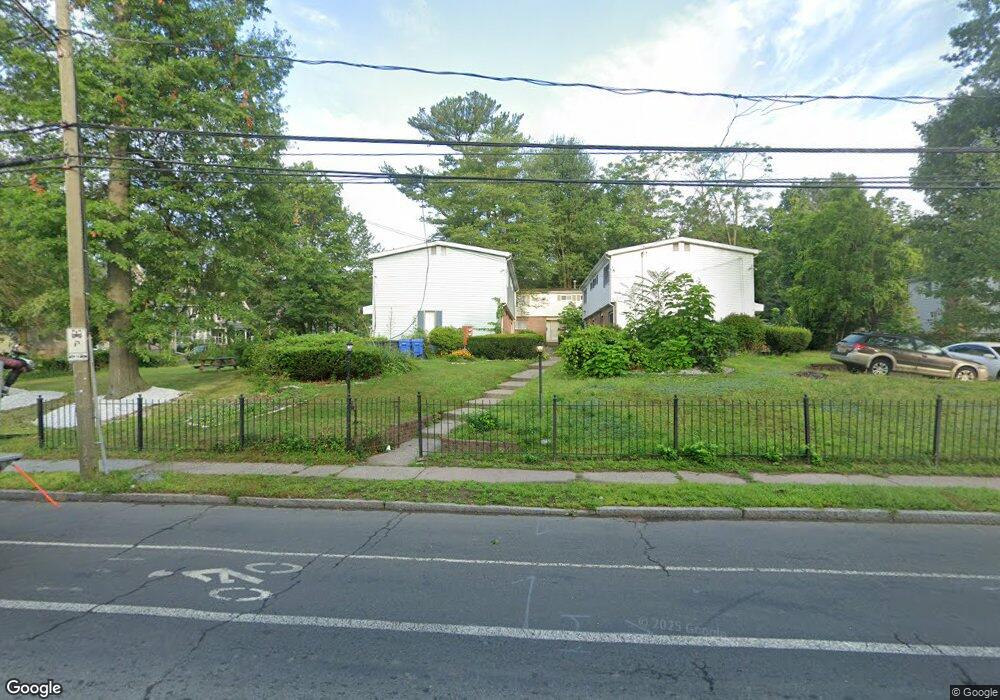
247 Vine St Unit 2 Hartford, CT 06112
North End NeighborhoodEstimated Value: $83,000 - $167,085
3
Beds
2
Baths
1,150
Sq Ft
$115/Sq Ft
Est. Value
About This Home
This home is located at 247 Vine St Unit 2, Hartford, CT 06112 and is currently estimated at $132,028, approximately $114 per square foot. 247 Vine St Unit 2 is a home located in Hartford County with nearby schools including Rawson School, Noah Webster Micro Society School, and McKinley School.
Ownership History
Date
Name
Owned For
Owner Type
Purchase Details
Closed on
Oct 15, 2025
Sold by
Chambers-Haynes Stephanie and Mcleish Dalton
Bought by
Montague Alburn D and Montague George Debra
Current Estimated Value
Purchase Details
Closed on
Jul 15, 2014
Sold by
Baxter-London Barbara
Bought by
Baxter-London Barbara and London Dayna A
Create a Home Valuation Report for This Property
The Home Valuation Report is an in-depth analysis detailing your home's value as well as a comparison with similar homes in the area
Home Values in the Area
Average Home Value in this Area
Purchase History
| Date | Buyer | Sale Price | Title Company |
|---|---|---|---|
| Montague Alburn D | $95,000 | -- | |
| Baxter-London Barbara | -- | -- |
Source: Public Records
Mortgage History
| Date | Status | Borrower | Loan Amount |
|---|---|---|---|
| Previous Owner | Baxter-London Barbara | $45,997 |
Source: Public Records
Tax History Compared to Growth
Tax History
| Year | Tax Paid | Tax Assessment Tax Assessment Total Assessment is a certain percentage of the fair market value that is determined by local assessors to be the total taxable value of land and additions on the property. | Land | Improvement |
|---|---|---|---|---|
| 2025 | $1,639 | $23,777 | $0 | $23,777 |
| 2024 | $1,639 | $23,777 | $0 | $23,777 |
| 2023 | $1,639 | $23,777 | $0 | $23,777 |
| 2022 | $1,639 | $23,777 | $0 | $23,777 |
| 2021 | $1,066 | $14,350 | $0 | $14,350 |
| 2020 | $1,066 | $14,350 | $0 | $14,350 |
| 2019 | $1,066 | $14,350 | $0 | $14,350 |
| 2018 | $1,030 | $13,866 | $0 | $13,866 |
| 2016 | $1,070 | $14,398 | $0 | $14,398 |
| 2015 | $1,019 | $13,714 | $0 | $13,714 |
| 2014 | $994 | $13,379 | $0 | $13,379 |
Source: Public Records
Map
Nearby Homes
- 87 Mansfield St Unit 89
- 59 Mansfield St Unit 61
- 50 Mansfield St
- 33 E Raymond St Unit 35
- 147 Enfield St Unit 149
- 238 Enfield St Unit 240
- 551 Garden St Unit 553
- 141 Greenfield St
- 275 Westland St
- 37 Martin St
- 67 Enfield St Unit 37
- 68 Enfield St Unit 70
- 158 Martin St Unit 160
- 134 Magnolia St Unit 136
- 183 Brook St Unit 185
- 4 Deerfield Ave
- 25 Judson St Unit C
- 186 Brook St Unit 188
- 410 Garden St
- 131-135,137-145,119- Albany Ave
- 247 Vine St Unit 6
- 247 Vine St Unit 5
- 247 Vine St Unit 4
- 247 Vine St Unit 3
- 247 Vine St Unit 1
- 255 Vine St
- 262 Vine St Unit 16
- 262 Vine St Unit 21
- 262 Vine St Unit 17
- 262 Vine St
- 262 Vine St Unit 15
- 262 Vine St Unit 11
- 262 Vine St Unit 18
- 259 Vine St
- 346 Capen St Unit 348
- 18 Keney Terrace
- 263 Vine St
- 231 Vine St
- 322 Capen St
- 11 Keney Terrace Unit 13