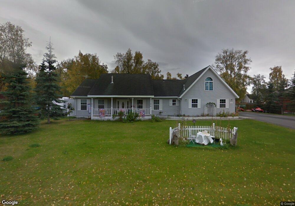
247 W Corral Ave Soldotna, AK 99669
Estimated Value: $139,000 - $700,178
5
Beds
3
Baths
4,330
Sq Ft
$102/Sq Ft
Est. Value
About This Home
This home is located at 247 W Corral Ave, Soldotna, AK 99669 and is currently estimated at $442,045, approximately $102 per square foot. 247 W Corral Ave is a home located in Kenai Peninsula Borough with nearby schools including Redoubt Elementary School, Skyview Middle School, and Soldotna High School.
Ownership History
Date
Name
Owned For
Owner Type
Purchase Details
Closed on
Apr 15, 2013
Sold by
Warrick Gerald
Bought by
Murray Dennis P and Murray Patricia
Current Estimated Value
Home Financials for this Owner
Home Financials are based on the most recent Mortgage that was taken out on this home.
Original Mortgage
$120,000
Outstanding Balance
$25,406
Interest Rate
3.51%
Mortgage Type
New Conventional
Estimated Equity
$416,639
Create a Home Valuation Report for This Property
The Home Valuation Report is an in-depth analysis detailing your home's value as well as a comparison with similar homes in the area
Home Values in the Area
Average Home Value in this Area
Purchase History
| Date | Buyer | Sale Price | Title Company |
|---|---|---|---|
| Murray Dennis P | -- | First American Title Ins Co | |
| Murray Dennis P | -- | First American Title Ins Co |
Source: Public Records
Mortgage History
| Date | Status | Borrower | Loan Amount |
|---|---|---|---|
| Open | Murray Dennis P | $120,000 |
Source: Public Records
Tax History Compared to Growth
Tax History
| Year | Tax Paid | Tax Assessment Tax Assessment Total Assessment is a certain percentage of the fair market value that is determined by local assessors to be the total taxable value of land and additions on the property. | Land | Improvement |
|---|---|---|---|---|
| 2025 | $2,215 | $661,200 | $60,300 | $600,900 |
| 2024 | $2,215 | $613,700 | $58,700 | $555,000 |
| 2023 | $1,851 | $568,300 | $53,400 | $514,900 |
| 2022 | $1,899 | $578,900 | $50,800 | $528,100 |
| 2021 | $1,554 | $568,900 | $34,700 | $534,200 |
| 2020 | $1,606 | $536,800 | $34,700 | $502,100 |
| 2019 | $1,796 | $560,400 | $31,500 | $528,900 |
| 2018 | $1,554 | $530,400 | $31,500 | $498,900 |
| 2017 | $1,321 | $510,400 | $31,500 | $478,900 |
| 2016 | $1,318 | $507,600 | $31,500 | $476,100 |
| 2015 | $3,608 | $478,500 | $31,500 | $447,000 |
| 2014 | $3,608 | $462,100 | $31,500 | $430,600 |
Source: Public Records
Map
Nearby Homes
- 265 Charity Cir
- 256 Upper Rosian Dr
- 169 N Brentwood St
- 253 Upper Rosian Dr
- 386 W Corral Ave
- 150 S Leibrock St
- L42 N Aspen Dr
- 235 N Aspen Dr
- 228 Stacy Dr
- 327 Knight Dr
- 287 Stacy Dr
- 385 W Riverview Ave
- 35839 Irons Ave
- L1 Kenai Spur Hwy
- 35841 Irons Ave
- 35868 Everwell Place
- 35856 Everwell Place
- 35840 Everwell Place
- 000 Ridgewood Dr
- A-1 Blazy Park Sub No 3
- 235 W Corral Ave
- 254 Arlington Ct
- 229 W Corral St
- 229 W Corral Ave
- 259 W Corral Ave
- 353 W Corral St
- 380 W Corral St
- 304 W Corral St
- 248 W Corral Ave
- 242 W Corral Ave
- 260 Arlington Ct
- L12 Sunrise
- 236 W Corral Ave
- L11 Sunrise Ct
- L11 Sunrise Ct
- L11 Sunrise
- 254 W Corral Ave
- 265 W Corral Ave
- L2 Corral Ave
- 265 W Corral St