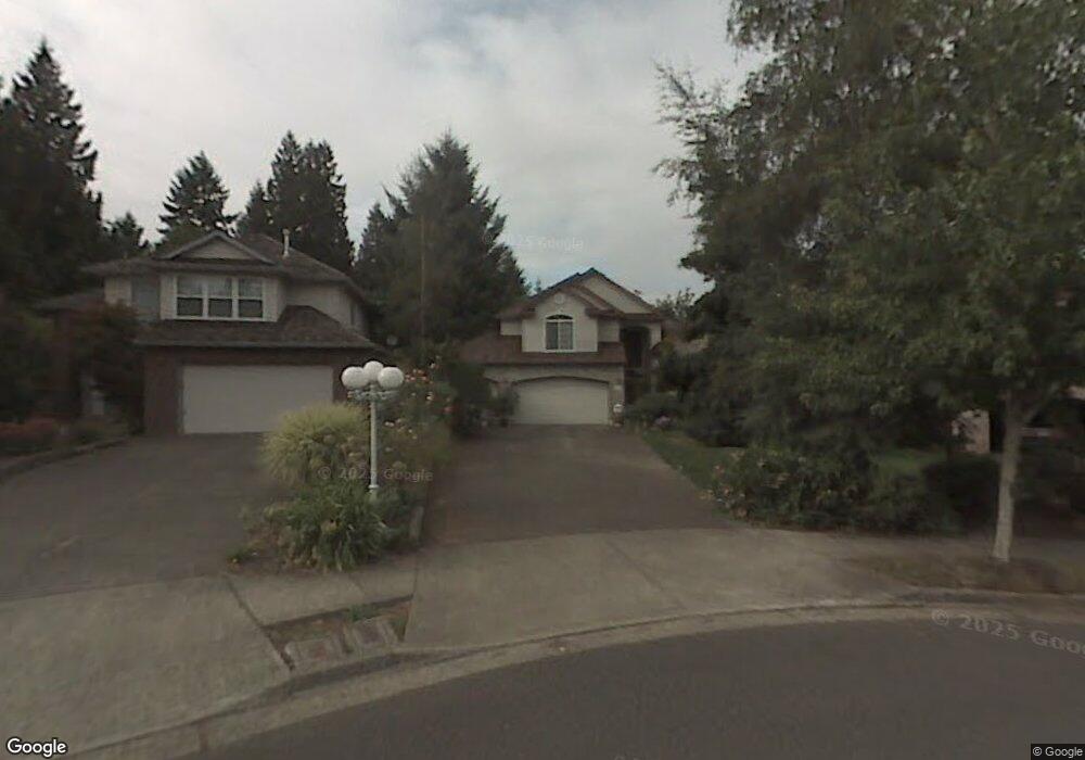
2470 Michael Dr West Linn, OR 97068
Willamette NeighborhoodEstimated Value: $823,742 - $998,000
4
Beds
3
Baths
2,599
Sq Ft
$350/Sq Ft
Est. Value
About This Home
This home is located at 2470 Michael Dr, West Linn, OR 97068 and is currently estimated at $909,686, approximately $350 per square foot. 2470 Michael Dr is a home located in Clackamas County with nearby schools including Willamette Primary School, Athey Creek Middle School, and West Linn High School.
Ownership History
Date
Name
Owned For
Owner Type
Purchase Details
Closed on
Jan 2, 2017
Sold by
Sadich Carol J
Bought by
Sadich Carol J and Carol Sadich Revocable Living Trust
Current Estimated Value
Purchase Details
Closed on
Jun 18, 1996
Sold by
Renaissance Custom Homes Inc
Bought by
Sadich Carol J
Home Financials for this Owner
Home Financials are based on the most recent Mortgage that was taken out on this home.
Original Mortgage
$50,000
Outstanding Balance
$2,914
Interest Rate
8.25%
Estimated Equity
$906,772
Purchase Details
Closed on
Jan 10, 1996
Sold by
Renaissance Development Corp
Bought by
Renaissance Custom Homes Inc
Purchase Details
Closed on
Aug 17, 1995
Sold by
Renaissance Development Corp
Bought by
Renaissance Development Corp
Create a Home Valuation Report for This Property
The Home Valuation Report is an in-depth analysis detailing your home's value as well as a comparison with similar homes in the area
Home Values in the Area
Average Home Value in this Area
Purchase History
| Date | Buyer | Sale Price | Title Company |
|---|---|---|---|
| Sadich Carol J | -- | None Available | |
| Sadich Carol J | $283,500 | Oregon Title Insurance Co | |
| Renaissance Custom Homes Inc | $49,500 | Oregon Title Insurance Co | |
| Renaissance Development Corp | -- | Oregon Title Insurance Co |
Source: Public Records
Mortgage History
| Date | Status | Borrower | Loan Amount |
|---|---|---|---|
| Open | Sadich Carol J | $50,000 |
Source: Public Records
Tax History
| Year | Tax Paid | Tax Assessment Tax Assessment Total Assessment is a certain percentage of the fair market value that is determined by local assessors to be the total taxable value of land and additions on the property. | Land | Improvement |
|---|---|---|---|---|
| 2025 | $9,207 | $477,751 | -- | -- |
| 2024 | $8,862 | $463,836 | -- | -- |
| 2023 | $8,862 | $450,327 | $0 | $0 |
| 2022 | $8,365 | $437,211 | $0 | $0 |
| 2021 | $7,941 | $424,477 | $0 | $0 |
| 2020 | $7,995 | $412,114 | $0 | $0 |
| 2019 | $7,624 | $400,111 | $0 | $0 |
| 2018 | $7,283 | $388,457 | $0 | $0 |
| 2017 | $7,001 | $377,143 | $0 | $0 |
| 2016 | $6,820 | $366,158 | $0 | $0 |
Source: Public Records
Map
Nearby Homes
- 1220 Farrview Ct
- 812 Wendy Ct
- 2083 Ostman Rd
- 2077 Ostman Rd
- 640 Springtree Ln
- 850 Springtree Ln Unit 850
- 1640 Village Park Place
- 1310 Sherri Ct
- 3135 Summerlinn Dr Unit 40
- 3850 Summerlinn Dr Unit 58
- 4335 Summerlinn Dr
- 1791 Blankenship Rd
- 6840 Summerlinn Way Unit 93
- 1043 Meek Way
- 6535 Summerlinn Way Unit 81
- 23044 SW Ulsky Rd
- 4555 Summerlinn Way
- 6795 Summerlinn Way Unit 90
- 2539 Limerick Ln
- 1733 Jamie Cir
- 2480 Michael Dr
- 2460 Michael Dr
- 2460 Michael Ct
- 1111 Ryan Ct
- 2450 Michael Dr
- 1121 Ryan Ct
- 2490 Michael Dr
- 2495 Michael Dr
- 2495 Michael Dr
- 2440 Michael Dr
- 2485 Michael Dr
- 1133 Ryan Ct
- 2435 Michael Dr
- 2475 Michael Ct
- 2475 Michael Dr
- 2425 Michael Dr
- 1102 Ryan Ct
- 2454 19th St
- 2430 Michael Dr
- 1151 Ryan Ct
Your Personal Tour Guide
Ask me questions while you tour the home.