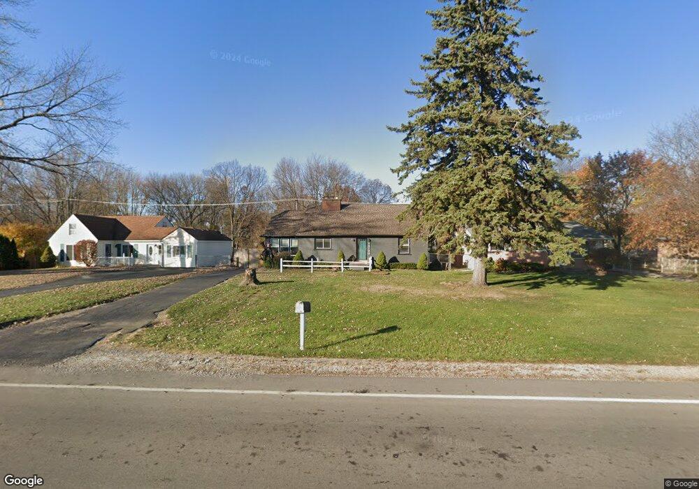
24700 Wick Rd Unit Bldg-Unit Taylor, MI 48180
Estimated Value: $238,287 - $325,000
--
Bed
2
Baths
1,643
Sq Ft
$163/Sq Ft
Est. Value
About This Home
This home is located at 24700 Wick Rd Unit Bldg-Unit, Taylor, MI 48180 and is currently estimated at $268,072, approximately $163 per square foot. 24700 Wick Rd Unit Bldg-Unit is a home located in Wayne County with nearby schools including Taylor Parks Elementary School, Hoover Middle School, and Taylor High School.
Ownership History
Date
Name
Owned For
Owner Type
Purchase Details
Closed on
Jan 25, 2018
Sold by
The Lawrence Patrick Mckeough Living Tru
Bought by
Weisenstein Lonnie R
Current Estimated Value
Home Financials for this Owner
Home Financials are based on the most recent Mortgage that was taken out on this home.
Original Mortgage
$154,660
Outstanding Balance
$132,620
Interest Rate
4.5%
Mortgage Type
FHA
Estimated Equity
$135,452
Purchase Details
Closed on
Oct 2, 2017
Sold by
Mckeough Lawrence P
Bought by
The Lawrence Patrick Mckeough Living Tru
Purchase Details
Closed on
Aug 25, 2001
Sold by
Lawand Jamile R
Bought by
Mckeough Lawrence P
Create a Home Valuation Report for This Property
The Home Valuation Report is an in-depth analysis detailing your home's value as well as a comparison with similar homes in the area
Home Values in the Area
Average Home Value in this Area
Purchase History
| Date | Buyer | Sale Price | Title Company |
|---|---|---|---|
| Weisenstein Lonnie R | $160,000 | Title One Inc | |
| The Lawrence Patrick Mckeough Living Tru | -- | None Available | |
| Mckeough Lawrence P | -- | -- |
Source: Public Records
Mortgage History
| Date | Status | Borrower | Loan Amount |
|---|---|---|---|
| Open | Weisenstein Lonnie R | $154,660 |
Source: Public Records
Tax History Compared to Growth
Tax History
| Year | Tax Paid | Tax Assessment Tax Assessment Total Assessment is a certain percentage of the fair market value that is determined by local assessors to be the total taxable value of land and additions on the property. | Land | Improvement |
|---|---|---|---|---|
| 2025 | $3,073 | $103,400 | $0 | $0 |
| 2024 | $3,073 | $102,100 | $0 | $0 |
| 2023 | $4,044 | $97,300 | $0 | $0 |
| 2022 | $2,933 | $80,100 | $0 | $0 |
| 2021 | $3,693 | $69,900 | $0 | $0 |
| 2020 | $3,178 | $69,000 | $0 | $0 |
| 2019 | $317,774 | $60,200 | $0 | $0 |
| 2018 | $2,014 | $60,100 | $0 | $0 |
| 2017 | $1,060 | $57,100 | $0 | $0 |
| 2016 | $2,469 | $55,500 | $0 | $0 |
| 2015 | $4,550 | $45,500 | $0 | $0 |
| 2013 | $4,900 | $50,100 | $0 | $0 |
| 2012 | $2,187 | $49,400 | $9,400 | $40,000 |
Source: Public Records
Map
Nearby Homes
- 24329 Wick Rd
- 24455 Haskell St
- 24127 Wick Rd
- 9230 Cooper St
- 25048 Filmore St
- 8232 Bailey St
- 24921 Champaign St
- 0000 Wick Rd
- 8124 Bailey St
- 25380 Statler St
- 25315 Baker St
- 9766 Cornell St Unit 173
- 8278 Westpoint St
- 10057 Westlake St
- 9602 Cornell St
- 0000 Telegraph Rd
- 8240 Westpoint St
- 8883 Beech Daly Rd
- 8853 Beech Daly Rd
- 10053 Michael St