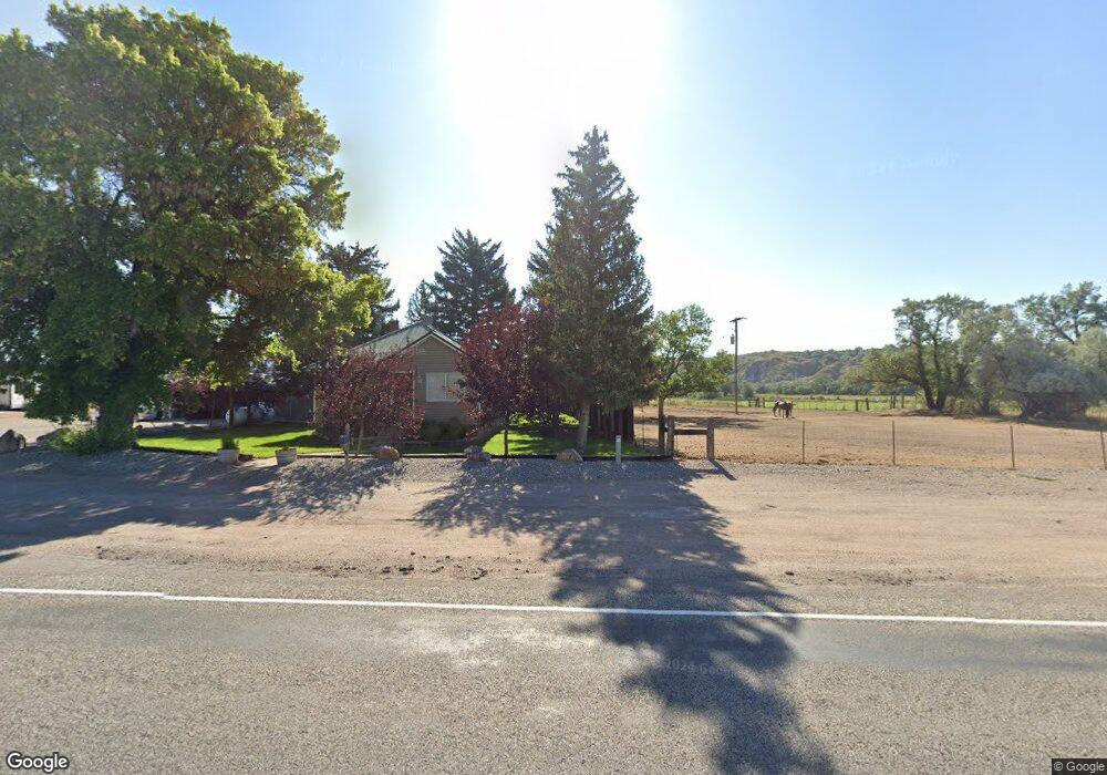
2472 N Highway 91 Preston, ID 83263
Estimated Value: $369,000 - $485,271
4
Beds
1
Bath
2,253
Sq Ft
$194/Sq Ft
Est. Value
About This Home
This home is located at 2472 N Highway 91, Preston, ID 83263 and is currently estimated at $437,757, approximately $194 per square foot. 2472 N Highway 91 is a home located in Franklin County with nearby schools including Oakwood Elementary School, Pioneer Elementary School, and Preston Junior High School.
Ownership History
Date
Name
Owned For
Owner Type
Purchase Details
Closed on
Aug 21, 2025
Sold by
Jorgensen Ivan and Jorgensen Ivan N
Bought by
Sandi Acres Llc
Current Estimated Value
Purchase Details
Closed on
Aug 26, 2020
Sold by
Talbot Tyler and Christensen Brooke
Bought by
Talbot Tyler G and Talbot Brooke C
Home Financials for this Owner
Home Financials are based on the most recent Mortgage that was taken out on this home.
Original Mortgage
$40,000
Interest Rate
2.9%
Mortgage Type
Credit Line Revolving
Create a Home Valuation Report for This Property
The Home Valuation Report is an in-depth analysis detailing your home's value as well as a comparison with similar homes in the area
Home Values in the Area
Average Home Value in this Area
Purchase History
| Date | Buyer | Sale Price | Title Company |
|---|---|---|---|
| Sandi Acres Llc | -- | Northern Title Company | |
| Talbot Tyler G | -- | Northern Title Company Of Id |
Source: Public Records
Mortgage History
| Date | Status | Borrower | Loan Amount |
|---|---|---|---|
| Previous Owner | Talbot Tyler G | $40,000 |
Source: Public Records
Tax History Compared to Growth
Tax History
| Year | Tax Paid | Tax Assessment Tax Assessment Total Assessment is a certain percentage of the fair market value that is determined by local assessors to be the total taxable value of land and additions on the property. | Land | Improvement |
|---|---|---|---|---|
| 2024 | $1,118 | $296,290 | $64,725 | $231,565 |
| 2023 | $1,075 | $296,290 | $64,725 | $231,565 |
| 2022 | $1,270 | $273,925 | $39,725 | $234,200 |
| 2021 | $1,219 | $251,099 | $39,725 | $211,374 |
| 2019 | $1,082 | $165,588 | $39,725 | $125,863 |
| 2018 | $1,089 | $157,563 | $31,700 | $125,863 |
| 2017 | $1,077 | $158,144 | $30,825 | $127,319 |
| 2016 | $995 | $132,155 | $30,825 | $101,330 |
| 2015 | $1,013 | $138,825 | $30,825 | $108,000 |
| 2014 | $17,588 | $141,605 | $30,825 | $110,780 |
| 2013 | $15,530 | $141,610 | $30,830 | $110,780 |
Source: Public Records
Map
Nearby Homes
- 1486 W Hot Springs Rd
- 2402 N Highway 91
- 2586 N Highway 91
- 1649 W Hot Springs Rd
- 2786 N 1500 W
- 2815 N Highway 91
- 2372 N Highway 91
- 2865 N Highway 91
- 2962 N Highway 91
- 1582 N 1400 W
- 2909 N Highway 91
- 2785 N 1500 W
- 1802 N Highway 91
- 1999 N 800 W
- 2032 W Hot Springs Rd
- 2022 N 800 W
- 1725 N 1400 W
- 2082 W Hot Springs Rd
- 1885 W Hot Springs Rd
- 1485 W 3600 N