Estimated Value: $372,599 - $421,000
--
Bed
1
Bath
1,692
Sq Ft
$236/Sq Ft
Est. Value
About This Home
This home is located at 24725 30 Mile Rd, Ray, MI 48096 and is currently estimated at $398,533, approximately $235 per square foot. 24725 30 Mile Rd is a home located in Macomb County with nearby schools including Orville C. Krause Elementary School, Armada Middle School, and Armada High School.
Ownership History
Date
Name
Owned For
Owner Type
Purchase Details
Closed on
Jan 5, 2008
Sold by
Mccollum Mark Alan and Mccollum Timothy Lee
Bought by
Marecki Melissa L and Marecki Alexander L
Current Estimated Value
Purchase Details
Closed on
Nov 18, 2006
Sold by
Mccollum Mark Alan and Mccollum Timothy Lee
Bought by
Mccollum Mark Alan and Mccollum Timothy Lee
Purchase Details
Closed on
Mar 19, 2005
Sold by
Mccollum Cecil Homer and Mccollum Lois E
Bought by
Mccollum Cecil Homer and Mccollum Mark Allan
Create a Home Valuation Report for This Property
The Home Valuation Report is an in-depth analysis detailing your home's value as well as a comparison with similar homes in the area
Home Values in the Area
Average Home Value in this Area
Purchase History
| Date | Buyer | Sale Price | Title Company |
|---|---|---|---|
| Marecki Melissa L | -- | Homeowners Title Agency | |
| Mccollum Mark Alan | -- | None Available | |
| Mccollum Cecil Homer | -- | -- |
Source: Public Records
Tax History Compared to Growth
Tax History
| Year | Tax Paid | Tax Assessment Tax Assessment Total Assessment is a certain percentage of the fair market value that is determined by local assessors to be the total taxable value of land and additions on the property. | Land | Improvement |
|---|---|---|---|---|
| 2025 | $4,053 | $169,400 | $0 | $0 |
| 2024 | $2,719 | $163,500 | $0 | $0 |
| 2023 | $3,546 | $154,400 | $0 | $0 |
| 2022 | $3,546 | $147,600 | $0 | $0 |
| 2021 | $3,453 | $145,600 | $0 | $0 |
| 2020 | $3,137 | $116,000 | $0 | $0 |
| 2019 | $2,706 | $120,800 | $0 | $0 |
| 2018 | $3,075 | $129,100 | $0 | $0 |
| 2017 | $3,010 | $102,300 | $40,500 | $61,800 |
| 2016 | $2,706 | $102,300 | $0 | $0 |
| 2015 | -- | $96,440 | $0 | $0 |
| 2012 | -- | $101,333 | $0 | $0 |
Source: Public Records
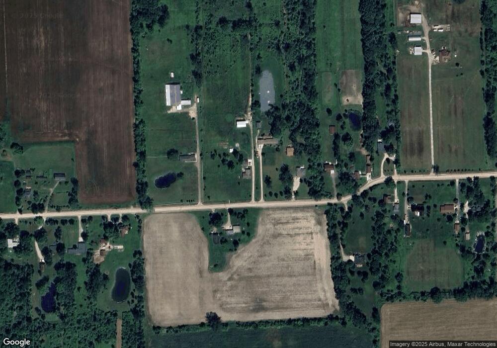
Map
Nearby Homes
- Vacant Omo Rd
- 23401 29 Mile Rd
- 0000 Cranston Rd
- 67525 Hartway Rd
- 21710 29 Mile 29 Mile
- 62408 Linda Dr
- VAC 32 Mile
- 0 31 Mile Rd Unit 50156618
- 24555 Murray Lot C Dr
- 24437 Murray Lot B Dr
- 24701 Murray Lot D Dr
- 000 26 Mile Rd E
- 0 31 Mile Rd Parcel 3
- 33100 30 Mile Rd
- Vacant Land 30 Mile Rd
- 0 32 Mile Rd Unit 50104250
- 59770 Bates Rd
- 59405 Pilot Ln Unit Parcel B
- 00 S Forest
- 0 Bates Rd Unit 50182470
- 24899 30 Mile Rd
- 24911 30 Mile Rd
- 0000 30 Mile Rd
- 24710 30 Mile Rd
- 24931 30 Mile Rd
- 24485 30 Mile Rd
- 24979 30 Mile Rd
- 24950 30 Mile Rd
- 25011 30 Mile Rd
- 24480 30 Mile Rd
- 25030 30 Mile Rd
- 24350 30 Mile Rd
- 24271 30 Mile Rd
- 25100 30 Mile Rd
- 25191 30 Mile Rd
- 24278 30 Mile Rd
- 25200 30 Mile Rd
- 24200 30 Mile Rd
- 25401 30 Mile Rd
- 24150 30 Mile Rd