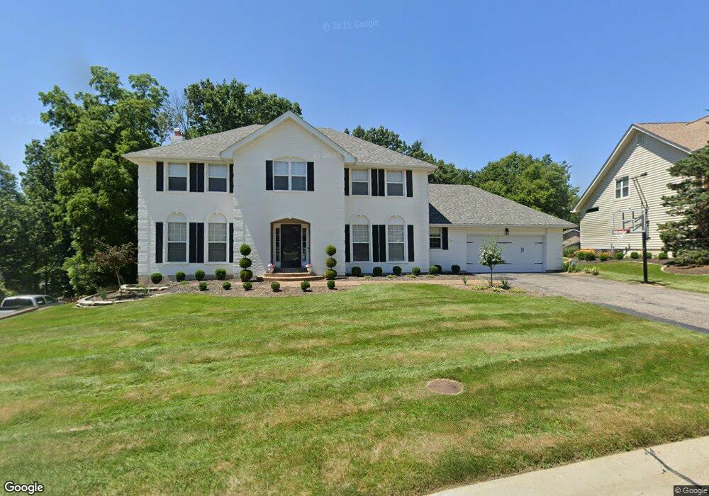
2475 Annapolis Way Saint Charles, MO 63303
Heritage NeighborhoodEstimated Value: $530,773 - $612,000
4
Beds
4
Baths
2,680
Sq Ft
$212/Sq Ft
Est. Value
About This Home
This home is located at 2475 Annapolis Way, Saint Charles, MO 63303 and is currently estimated at $568,443, approximately $212 per square foot. 2475 Annapolis Way is a home located in St. Charles County with nearby schools including Becky-David Elementary School, Barnwell Middle School, and Francis Howell North High School.
Ownership History
Date
Name
Owned For
Owner Type
Purchase Details
Closed on
Feb 25, 2021
Sold by
Mcwhorter William D and Mcwhorter Tina A
Bought by
Davis Nathaniel and Davis Lauren
Current Estimated Value
Home Financials for this Owner
Home Financials are based on the most recent Mortgage that was taken out on this home.
Original Mortgage
$342,000
Outstanding Balance
$305,182
Interest Rate
2.7%
Mortgage Type
New Conventional
Estimated Equity
$263,261
Create a Home Valuation Report for This Property
The Home Valuation Report is an in-depth analysis detailing your home's value as well as a comparison with similar homes in the area
Home Values in the Area
Average Home Value in this Area
Purchase History
| Date | Buyer | Sale Price | Title Company |
|---|---|---|---|
| Davis Nathaniel | -- | Select Title Group |
Source: Public Records
Mortgage History
| Date | Status | Borrower | Loan Amount |
|---|---|---|---|
| Open | Davis Nathaniel | $342,000 |
Source: Public Records
Tax History Compared to Growth
Tax History
| Year | Tax Paid | Tax Assessment Tax Assessment Total Assessment is a certain percentage of the fair market value that is determined by local assessors to be the total taxable value of land and additions on the property. | Land | Improvement |
|---|---|---|---|---|
| 2025 | $4,724 | $85,757 | -- | -- |
| 2023 | $4,718 | $76,463 | $0 | $0 |
| 2022 | $4,309 | $64,672 | $0 | $0 |
| 2021 | $4,300 | $64,672 | $0 | $0 |
| 2020 | $4,171 | $61,133 | $0 | $0 |
| 2019 | $4,155 | $61,133 | $0 | $0 |
| 2018 | $3,761 | $52,796 | $0 | $0 |
| 2017 | $3,741 | $52,796 | $0 | $0 |
| 2016 | $3,608 | $51,062 | $0 | $0 |
| 2015 | $3,573 | $51,062 | $0 | $0 |
| 2014 | $3,548 | $49,155 | $0 | $0 |
Source: Public Records
Map
Nearby Homes
- 1510 Hudson Landing
- 1633 Mount Vernon Dr Unit 2
- 1611 Burnside Ln
- 2828 Mulberry Ln
- 2824 Mulberry Ln
- 1355 Hampton Rd Unit B
- 2820 Mulberry Ln
- 106 Tuscany Trace Dr
- 2816 Mulberry Ln
- 2605 Plantation Point Unit B
- 2609 Plantation Point Unit D
- 1380 Heritage Landing Unit 307
- 1380 Heritage Landing Unit 206
- 2617 Hampton Rd Unit C
- 2623 Hampton Rd Unit A
- 0 Hemsath Rd Unit 22058650
- 0 Hemsath Rd Unit 22063361
- 17 Stonehenge Ct
- 1400 Heritage Landing #106 Landing Unit 106
- 1465 Heritage Landing Unit 35
- 2473 Annapolis Way
- 2477 Annapolis Way
- 20 Monticello Ct
- 16 Hancock Ct
- 17 Hancock Ct
- 2471 Annapolis Way
- 26 Monticello Ct
- 15 Hancock Ct
- 2470 Annapolis Way
- 25 Monticello Ct
- 21 Monticello Ct
- 0TBB the Hancock @ Bella Vista
- 2BBLT Bellemeade-Hancock 3br
- 2480 Annapolis Way
- 2483 Annapolis Way
- 2463 Annapolis Way
- 12 Hancock Ct
- 14 Hancock Ct
- 11 Hancock Ct
- 24 Monticello Ct