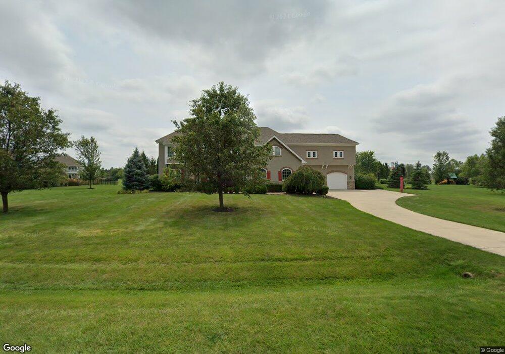
2475 Dauer Ct Powell, OH 43065
Estimated Value: $1,032,881 - $1,291,000
4
Beds
5
Baths
3,978
Sq Ft
$294/Sq Ft
Est. Value
About This Home
This home is located at 2475 Dauer Ct, Powell, OH 43065 and is currently estimated at $1,170,220, approximately $294 per square foot. 2475 Dauer Ct is a home located in Delaware County with nearby schools including Wyandot Run Elementary School, Olentangy Liberty Middle School, and Olentangy High School.
Ownership History
Date
Name
Owned For
Owner Type
Purchase Details
Closed on
May 17, 2012
Sold by
Lengal Frank A and Napolitano Amanda C
Bought by
Lengal F A and Lengal Amanda
Current Estimated Value
Purchase Details
Closed on
Oct 10, 2005
Sold by
Woodland Glen Llc
Bought by
Lengal Frank A and Napolitano Amanda C
Home Financials for this Owner
Home Financials are based on the most recent Mortgage that was taken out on this home.
Original Mortgage
$67,000
Interest Rate
5.8%
Mortgage Type
Stand Alone Second
Create a Home Valuation Report for This Property
The Home Valuation Report is an in-depth analysis detailing your home's value as well as a comparison with similar homes in the area
Home Values in the Area
Average Home Value in this Area
Purchase History
| Date | Buyer | Sale Price | Title Company |
|---|---|---|---|
| Lengal F A | -- | None Available | |
| Lengal Frank A | $130,000 | Title First |
Source: Public Records
Mortgage History
| Date | Status | Borrower | Loan Amount |
|---|---|---|---|
| Previous Owner | Lengal Frank A | $67,000 | |
| Previous Owner | Lengal Frank A | $500,000 |
Source: Public Records
Tax History
| Year | Tax Paid | Tax Assessment Tax Assessment Total Assessment is a certain percentage of the fair market value that is determined by local assessors to be the total taxable value of land and additions on the property. | Land | Improvement |
|---|---|---|---|---|
| 2024 | $18,224 | $345,700 | $79,980 | $265,720 |
| 2023 | $18,295 | $345,700 | $79,980 | $265,720 |
| 2022 | $19,202 | $287,770 | $57,750 | $230,020 |
| 2021 | $19,320 | $287,770 | $57,750 | $230,020 |
| 2020 | $19,412 | $287,770 | $57,750 | $230,020 |
| 2019 | $17,902 | $276,820 | $57,750 | $219,070 |
| 2018 | $17,985 | $276,820 | $57,750 | $219,070 |
| 2017 | $16,588 | $246,260 | $47,250 | $199,010 |
| 2016 | $17,017 | $246,260 | $47,250 | $199,010 |
| 2015 | $15,396 | $246,260 | $47,250 | $199,010 |
| 2014 | $15,607 | $246,260 | $47,250 | $199,010 |
| 2013 | $15,473 | $238,600 | $47,250 | $191,350 |
Source: Public Records
Map
Nearby Homes
- 7637 Bridlespur Ln
- 7495 Bridlespur Ln
- 2575 Hackney Ct
- 1063 Mendolin Ct
- 0 Liberty Rd N Unit Lot 4
- 0 Liberty Rd N Unit Lot 6
- 3443 Village Club Dr
- 3296 Home Rd
- 8033 Hillingdon Dr Unit 8033
- 0 Liberty Rd Unit Tract 3
- 0 Liberty Rd Unit Tract 4
- 0 Liberty Rd Unit Tract 10
- 0 Liberty Rd Unit Tract 2
- 0 Liberty Rd Unit Tract 1
- 0 Liberty Rd Unit Tract 11
- 4816 Rutherford Rd
- 8574 Trail Lake Dr
- 6505 Longview Dr
- 612 Foxdale Place Unit 612
- 3242 Rossmore Cir
Your Personal Tour Guide
Ask me questions while you tour the home.