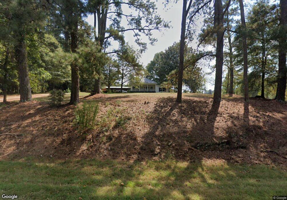
2475 E Highway 5 Carrollton, GA 30116
Estimated Value: $271,000 - $514,384
3
Beds
1
Bath
1,792
Sq Ft
$214/Sq Ft
Est. Value
About This Home
This home is located at 2475 E Highway 5, Carrollton, GA 30116 and is currently estimated at $383,846, approximately $214 per square foot. 2475 E Highway 5 is a home located in Carroll County with nearby schools including Roopville Elementary School, Central Middle School, and Central High School.
Ownership History
Date
Name
Owned For
Owner Type
Purchase Details
Closed on
Mar 18, 2016
Sold by
Harris Michael J
Bought by
Williams Donald Clarence and Williams Joann M
Current Estimated Value
Purchase Details
Closed on
Mar 1, 2013
Sold by
Williams Clarice Marlow
Bought by
Williams Dale Edward and Williams Donald Clarence
Purchase Details
Closed on
Jan 1, 1999
Sold by
Williams Williams C and Williams Clari
Bought by
Williams Clarice
Purchase Details
Closed on
Aug 24, 1993
Bought by
Williams Williams C and Williams Clari
Create a Home Valuation Report for This Property
The Home Valuation Report is an in-depth analysis detailing your home's value as well as a comparison with similar homes in the area
Home Values in the Area
Average Home Value in this Area
Purchase History
| Date | Buyer | Sale Price | Title Company |
|---|---|---|---|
| Williams Donald Clarence | $124,472 | -- | |
| Williams Dale Edward | -- | -- | |
| Williams Clarice | -- | -- | |
| Williams Williams C | -- | -- |
Source: Public Records
Tax History
| Year | Tax Paid | Tax Assessment Tax Assessment Total Assessment is a certain percentage of the fair market value that is determined by local assessors to be the total taxable value of land and additions on the property. | Land | Improvement |
|---|---|---|---|---|
| 2025 | $390 | $178,830 | $97,656 | $81,174 |
| 2024 | $394 | $178,830 | $97,656 | $81,174 |
| 2023 | $394 | $153,334 | $78,124 | $75,210 |
| 2022 | $470 | $112,881 | $52,083 | $60,798 |
| 2021 | $473 | $95,577 | $41,666 | $53,911 |
| 2020 | $475 | $84,131 | $37,877 | $46,254 |
| 2019 | $488 | $80,598 | $37,877 | $42,721 |
| 2018 | $291 | $77,058 | $37,877 | $39,181 |
| 2017 | $291 | $77,058 | $37,877 | $39,181 |
| 2016 | $174 | $91,433 | $37,877 | $53,556 |
| 2015 | $168 | $53,195 | $35,384 | $17,812 |
| 2014 | $167 | $53,196 | $35,384 | $17,812 |
Source: Public Records
Map
Nearby Homes
- 204 Staples Dairy Rd
- 1170 Lowell Rd
- 633 Duncan Rd
- 00 Ringer Rd
- 500 Coleman Mill Rd
- 926 Liberty Church Rd
- 1788 Star Point Rd
- 2018 Star Point Rd
- 1911 Star Point Rd
- 101 Southbend Dr
- 2237 Clem Lowell Rd
- 0 Lowell Rd Unit 10640679
- 0 Bonner Goldmine Rd Unit 10433818
- 0 Ringer Rd Unit 10595950
- 1837 Whooping Creek Rd
- 0 Louise Ln Unit 10563364
- 922 Shoemake Rd
- 1915 Whooping Creek Church Rd
- 1502 Whooping Creek Church Rd
- 221 Valley Ridge Dr
- 66 Slick Rock Rd
- 2465 E Highway 5
- 2331 E Highway 5
- 2358 E Highway 5
- 2358 Georgia 5
- 9 Lowell Ln
- 88 Slick Rock Rd
- 71 Lowell Ln
- 2259 Georgia 5
- 2259 E Highway 5
- 2324 E Highway 5
- 2380 E Highway 5
- 2261 E Highway 5
- 2366 Georgia 5
- 2250 E Highway 5
- 1620 Ringer Rd
- 2185 E Highway 5
- 2183 E Highway 5
- 2165 E Highway 5
- 1580 Ringer Rd
Your Personal Tour Guide
Ask me questions while you tour the home.