2475 Larmon Mill Rd Alvaton, KY 42122
Estimated Value: $649,000 - $1,347,101
3
Beds
4
Baths
3,496
Sq Ft
$259/Sq Ft
Est. Value
About This Home
This home is located at 2475 Larmon Mill Rd, Alvaton, KY 42122 and is currently estimated at $907,034, approximately $259 per square foot. 2475 Larmon Mill Rd is a home located in Warren County with nearby schools including Plano Elementary School, South Warren Middle School, and South Warren High School.
Ownership History
Date
Name
Owned For
Owner Type
Purchase Details
Closed on
Apr 22, 2022
Sold by
Glasscock Dewey S and Glasscock Carolyn C
Bought by
Glasscock Dewey S and Glasscock Carolyn C
Current Estimated Value
Create a Home Valuation Report for This Property
The Home Valuation Report is an in-depth analysis detailing your home's value as well as a comparison with similar homes in the area
Home Values in the Area
Average Home Value in this Area
Purchase History
| Date | Buyer | Sale Price | Title Company |
|---|---|---|---|
| Glasscock Dewey S | -- | None Listed On Document | |
| Glasscock Dewey S | -- | None Listed On Document | |
| Glasscock Dewey S | -- | None Listed On Document | |
| Carolyn C Glasscock Kentucky Community Proper | -- | None Listed On Document | |
| Carolyn C Glasscock Kentucky Community Proper | -- | None Listed On Document | |
| Glasscock Dewey S | -- | None Listed On Document | |
| Glasscock Dewey S | -- | None Listed On Document |
Source: Public Records
Tax History Compared to Growth
Tax History
| Year | Tax Paid | Tax Assessment Tax Assessment Total Assessment is a certain percentage of the fair market value that is determined by local assessors to be the total taxable value of land and additions on the property. | Land | Improvement |
|---|---|---|---|---|
| 2025 | $2,754 | $905,000 | $0 | $0 |
| 2024 | $2,803 | $905,000 | $0 | $0 |
| 2023 | $2,826 | $370,006 | $0 | $0 |
| 2022 | $2,603 | $359,340 | $0 | $0 |
| 2021 | $2,593 | $905,000 | $0 | $0 |
| 2020 | $2,612 | $905,000 | $0 | $0 |
| 2019 | $2,548 | $905,000 | $0 | $0 |
| 2018 | $2,271 | $625,000 | $0 | $0 |
| 2017 | $2,254 | $280,150 | $0 | $0 |
| 2015 | $2,132 | $269,310 | $0 | $0 |
| 2014 | $2,021 | $259,000 | $0 | $0 |
Source: Public Records
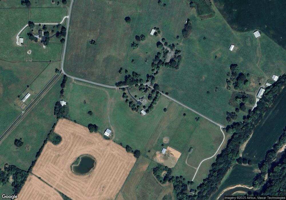
Map
Nearby Homes
- 166 Cooper Dearing Rd
- 9227 Hermitage Ln
- 9263 Hermitage Ln
- 9165 Hermitage Ln
- 9144 Hermitage Ln
- 41 Hermitage Ln
- 9180 Hermitage Ln
- 0 Dye Ford Rd Unit RA20255641
- 0 Dye Ford Rd Unit 2.45 Acres
- 0 Dye Ford Rd Unit RA20255283
- 43 Sumner Ave
- 125 Cottontail Cir
- 8683 Creekstone Ct
- 261 Driftwood Ct
- 8689 Creekstone Ct
- 8692 Creekstone Ln
- 6 Acres Jerome Dr
- 0 Jerome Dr Unit RA20253714
- 8698 Creekstone Ct
- 8680 Drakes Blvd
- 2500 Larmon Mill Rd
- 2756 Larmon Mill Rd
- 2661 Larmon Mill Rd
- 2241 Larmon Mill Rd
- 2132 Larmon Mill Rd
- 2035 Larmon Mill Rd
- 2517 Larmon Mill Rd
- 2001 Larmon Mill Rd
- 1971 Larmon Mill Rd
- 1939 Larmon Mill Rd
- 2307 Larmon Mill Rd
- 1857 Mount Lebanon Rd
- 2327 Larmon Mill Rd
- 1901 Larmon Mill Rd
- 1925 Mount Lebanon Church Rd
- 1867 Larmon Mill Rd
- 2085 Mount Lebanon Church Rd
- 1835 Larmon Mill Rd
- 2115 Mount Lebanon Rd
- 2085 Mount Lebanon Rd