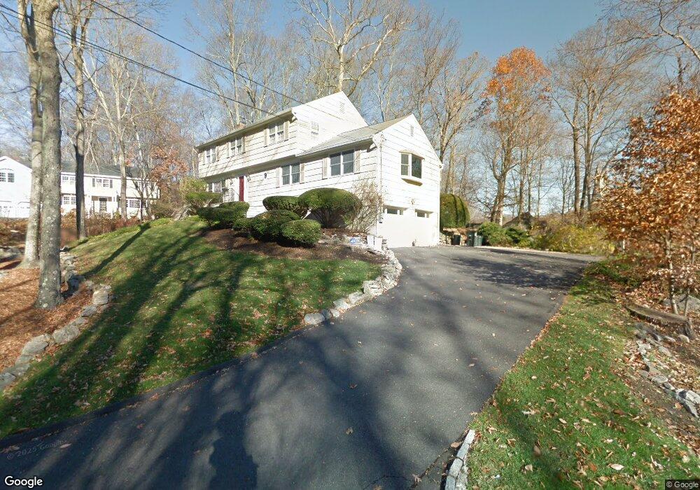
2475 Long Ridge Rd Stamford, CT 06903
North Stamford NeighborhoodEstimated Value: $998,000 - $1,178,000
4
Beds
3
Baths
3,273
Sq Ft
$333/Sq Ft
Est. Value
About This Home
This home is located at 2475 Long Ridge Rd, Stamford, CT 06903 and is currently estimated at $1,090,737, approximately $333 per square foot. 2475 Long Ridge Rd is a home located in Fairfield County with nearby schools including Northeast Elementary School, Turn of River School, and Westhill High School.
Ownership History
Date
Name
Owned For
Owner Type
Purchase Details
Closed on
Dec 20, 2011
Sold by
Tebbs George M and Tebbs Patricia
Bought by
Goodman Steven R and Goodman Kimberly A
Current Estimated Value
Purchase Details
Closed on
Mar 16, 1990
Sold by
Phh Homequity Corp
Bought by
Tebbs George
Home Financials for this Owner
Home Financials are based on the most recent Mortgage that was taken out on this home.
Original Mortgage
$210,000
Interest Rate
10.02%
Purchase Details
Closed on
Feb 26, 1987
Sold by
Smith Howard
Bought by
Roe Robt
Create a Home Valuation Report for This Property
The Home Valuation Report is an in-depth analysis detailing your home's value as well as a comparison with similar homes in the area
Home Values in the Area
Average Home Value in this Area
Purchase History
| Date | Buyer | Sale Price | Title Company |
|---|---|---|---|
| Goodman Steven R | -- | -- | |
| Tebbs George | $360,000 | -- | |
| Roe Robt | $385,000 | -- |
Source: Public Records
Mortgage History
| Date | Status | Borrower | Loan Amount |
|---|---|---|---|
| Previous Owner | Roe Robt | $250,000 | |
| Previous Owner | Roe Robt | $195,000 | |
| Previous Owner | Roe Robt | $202,300 | |
| Previous Owner | Roe Robt | $210,000 |
Source: Public Records
Tax History Compared to Growth
Tax History
| Year | Tax Paid | Tax Assessment Tax Assessment Total Assessment is a certain percentage of the fair market value that is determined by local assessors to be the total taxable value of land and additions on the property. | Land | Improvement |
|---|---|---|---|---|
| 2025 | $12,472 | $535,970 | $245,350 | $290,620 |
| 2024 | $12,199 | $535,970 | $245,350 | $290,620 |
| 2023 | $13,110 | $535,970 | $245,350 | $290,620 |
| 2022 | $11,063 | $420,160 | $185,870 | $234,290 |
| 2021 | $10,912 | $420,160 | $185,870 | $234,290 |
| 2020 | $10,643 | $420,160 | $185,870 | $234,290 |
| 2019 | $10,643 | $420,160 | $185,870 | $234,290 |
| 2018 | $10,273 | $420,160 | $185,870 | $234,290 |
| 2017 | $10,597 | $414,110 | $193,960 | $220,150 |
| 2016 | $10,278 | $414,110 | $193,960 | $220,150 |
| 2015 | $9,997 | $414,110 | $193,960 | $220,150 |
| 2014 | $9,653 | $414,110 | $193,960 | $220,150 |
Source: Public Records
Map
Nearby Homes
- 43 Mill Rd
- 110 Erskine Rd
- 19 Stone Fence Ln
- 95 Foxwood Rd
- 22 Blackberry Dr E
- 81 Fox Ridge Rd
- 555 Haviland Rd
- 71 N Lake Dr
- 250 Saddle Hill Rd
- 1287 Rock Rimmon Rd
- 40 Wildwood Rd
- 21 S Brook Dr
- Lot #21 S Brook Dr
- Lot #5 S Brook Dr
- 0 S Brook Dr Unit 170552650
- 139 Echo Hill Dr
- 239 E Hunting Ridge Rd
- 27 Wellington Dr
- 401 Wildwood Rd
- 0 Rock Rimmon Rd Unit LOT 18 24073521
- 2477 Long Ridge Rd
- 2471 Long Ridge Rd
- 166 Old Long Ridge Rd
- 2503 Long Ridge Rd
- 2473 Long Ridge Rd
- 148 Old Long Ridge Rd
- 142 Old Long Ridge Rd
- 2525 Long Ridge Rd
- 189 Old Long Ridge Rd
- 188 Old Long Ridge Rd
- 2469 Long Ridge Rd
- 2 Mill Rd
- 723 Hunting Ridge Rd
- 137 Old Long Ridge Rd
- 2461 Long Ridge Rd
- 208 Old Long Ridge Rd
- 17 Grey Birch Rd
- 717 Hunting Ridge Rd
- 119 Old Long Ridge Rd
- 2553 Long Ridge Rd