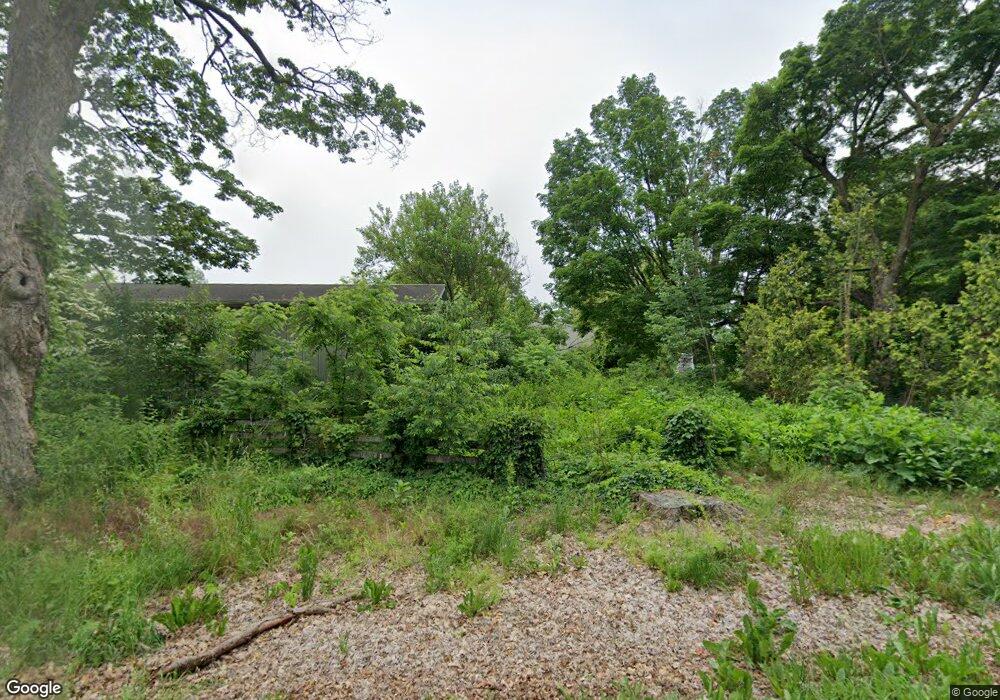
Estimated Value: $761,000 - $1,073,520
4
Beds
2
Baths
1,810
Sq Ft
$507/Sq Ft
Est. Value
About This Home
This home is located at 2475 Mayflower Rd, Niles, MI 49120 and is currently estimated at $917,260, approximately $506 per square foot. 2475 Mayflower Rd is a home located in Berrien County with nearby schools including Ottawa Elementary School, Moccasin Elementary School, and Buchanan Middle School.
Ownership History
Date
Name
Owned For
Owner Type
Purchase Details
Closed on
Nov 11, 2021
Sold by
Brandt Loren August and Brandt Loren A
Bought by
Brandt Loren August and Grosse Danna Viktoria
Current Estimated Value
Purchase Details
Closed on
Jan 18, 2021
Sold by
Brandt Loren A
Bought by
Brandt Loren August and Grosse Danna Viktoria
Purchase Details
Closed on
Jun 24, 2005
Sold by
Weidner Samuel V and Weidner Mary L
Bought by
Brandt Loren A
Purchase Details
Closed on
Jul 24, 2002
Purchase Details
Closed on
Sep 10, 1999
Purchase Details
Closed on
Sep 8, 1999
Purchase Details
Closed on
Feb 3, 1994
Create a Home Valuation Report for This Property
The Home Valuation Report is an in-depth analysis detailing your home's value as well as a comparison with similar homes in the area
Home Values in the Area
Average Home Value in this Area
Purchase History
| Date | Buyer | Sale Price | Title Company |
|---|---|---|---|
| Brandt Loren August | -- | None Available | |
| Brandt Loren August | -- | None Available | |
| Brandt Loren A | $450,000 | Meridian Title Corp | |
| -- | $250,000 | -- | |
| -- | $100 | -- | |
| -- | $100 | -- | |
| -- | $525,000 | -- | |
| -- | $325,000 | -- |
Source: Public Records
Tax History Compared to Growth
Tax History
| Year | Tax Paid | Tax Assessment Tax Assessment Total Assessment is a certain percentage of the fair market value that is determined by local assessors to be the total taxable value of land and additions on the property. | Land | Improvement |
|---|---|---|---|---|
| 2025 | $7,057 | $362,300 | $0 | $0 |
| 2024 | $3,941 | $401,600 | $0 | $0 |
| 2023 | $3,754 | $314,700 | $0 | $0 |
| 2022 | $3,575 | $274,300 | $0 | $0 |
| 2021 | $6,691 | $275,700 | $169,600 | $106,100 |
| 2020 | $6,610 | $279,600 | $0 | $0 |
| 2019 | $6,489 | $329,100 | $226,800 | $102,300 |
| 2018 | $7,511 | $329,100 | $0 | $0 |
| 2017 | $7,429 | $358,100 | $0 | $0 |
| 2016 | $7,384 | $382,000 | $0 | $0 |
| 2015 | $7,377 | $363,300 | $0 | $0 |
| 2014 | $3,152 | $345,200 | $0 | $0 |
Source: Public Records
Map
Nearby Homes
- VL W Bertrand Rd
- 1500 W Bertrand Rd
- 2800 Mayflower Rd
- 2160 Portage Rd
- W Chicago Rd
- 2975 Portage Rd
- 3190 Orange Lot C Rd
- 1675 Mallard Dr
- 50632 K Jay Ln
- 3660 Buffalo Rd
- 1680 River Bend Blvd
- 1670 River Bend Blvd
- 50929 Orange Rd
- 1650 Whitetail Cir
- 1860 High Meadow N
- 1640 Forest St
- 22264 Barking Deer Run
- Lot 1 Forest Lake Trail Unit 1
- 1610 Whitetail Cir
- 50890 Summit Ridge Trail Unit 45
- 2460 Mayflower Rd
- 2450 Mayflower Rd
- 2470 Mayflower Rd
- 2430 Mayflower Rd
- 2420 Mayflower Rd
- 2510 Mayflower Rd
- 2385 Mayflower Rd
- 2915 Virginia Rose Ln
- 2915 Virginia Rose Ln
- 2945 Virginia Rose Ln
- 0 Virginia Rose Ln
- 29152945 Virginia Rose Ln
- 2620 Mayflower Rd
- 2265 Mayflower Rd
- 2540 Mayflower Rd
- 2975 Virginia Rose Ln
- 2675 Mayflower Rd
- 2670 Mayflower Rd
- 2500 Mayflower Rd
- 0 Mayflower Rd
