2475 New Bullard Rd Dry Branch, GA 31020
Estimated Value: $64,603 - $138,000
2
Beds
2
Baths
988
Sq Ft
$102/Sq Ft
Est. Value
About This Home
This home is located at 2475 New Bullard Rd, Dry Branch, GA 31020 and is currently estimated at $101,151, approximately $102 per square foot. 2475 New Bullard Rd is a home located in Twiggs County with nearby schools including Jeffersonville Elementary School, Twiggs Middle School, and Twiggs County High School.
Ownership History
Date
Name
Owned For
Owner Type
Purchase Details
Closed on
May 19, 2021
Sold by
Washington Hampson
Bought by
Washington Hampson
Current Estimated Value
Purchase Details
Closed on
Mar 16, 2021
Sold by
Bar Nine Llc
Bought by
Washington Hampson
Purchase Details
Closed on
Mar 10, 2021
Sold by
Allen Eric
Bought by
Bar Nine Llc
Purchase Details
Closed on
Mar 9, 2021
Sold by
Washington Hampson
Bought by
Allen Eric
Purchase Details
Closed on
Jan 6, 2006
Sold by
Deutsche Bank National Tru
Bought by
Hampson Washington
Purchase Details
Closed on
Jul 30, 2001
Sold by
Woodford Annette Etal
Bought by
Riggins Paul
Purchase Details
Closed on
Jul 20, 2001
Sold by
Riggins Sandra D
Bought by
Riggins Paul
Purchase Details
Closed on
Jan 26, 1979
Bought by
Riggins Paul Sr Est
Create a Home Valuation Report for This Property
The Home Valuation Report is an in-depth analysis detailing your home's value as well as a comparison with similar homes in the area
Home Values in the Area
Average Home Value in this Area
Purchase History
| Date | Buyer | Sale Price | Title Company |
|---|---|---|---|
| Washington Hampson | -- | -- | |
| Washington Hampson | -- | -- | |
| Bar Nine Llc | $10,000 | -- | |
| Allen Eric | $5,000 | -- | |
| Hampson Washington | $8,000 | -- | |
| Riggins Paul | -- | -- | |
| Riggins Paul | -- | -- | |
| Riggins Paul Sr Est | -- | -- |
Source: Public Records
Tax History Compared to Growth
Tax History
| Year | Tax Paid | Tax Assessment Tax Assessment Total Assessment is a certain percentage of the fair market value that is determined by local assessors to be the total taxable value of land and additions on the property. | Land | Improvement |
|---|---|---|---|---|
| 2024 | $357 | $9,966 | $820 | $9,146 |
| 2023 | $358 | $9,966 | $820 | $9,146 |
| 2022 | $361 | $9,966 | $820 | $9,146 |
| 2021 | $361 | $9,966 | $820 | $9,146 |
| 2020 | $361 | $9,966 | $820 | $9,146 |
| 2019 | $361 | $9,966 | $820 | $9,146 |
| 2018 | $424 | $12,767 | $820 | $11,947 |
| 2017 | $424 | $12,767 | $820 | $11,947 |
| 2016 | $0 | $13,799 | $0 | $13,799 |
| 2015 | -- | $14,619 | $820 | $13,799 |
| 2014 | -- | $14,619 | $820 | $13,799 |
| 2013 | -- | $17,100 | $820 | $16,280 |
Source: Public Records
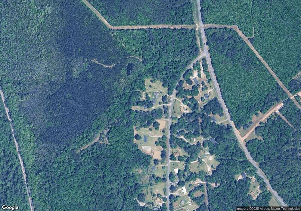
Map
Nearby Homes
- 497 T04 River Rd
- 497 T04 River Rd Unit LotWP001
- 0 New Bullard Rd Unit 7662260
- 61 Regina Dr
- 456 Horseshoe Cir
- 1108 Horseshoe Cir
- 9036 Bullard Rd
- 0 Bullard Rd
- LOT 2 the Preserve at Beach Mountain
- 00 Lakeside Terrace
- 83 Troon Dr
- 869 Marion-Ripley Rd
- 949 Marion-Ripley Rd
- 100 Chuck Cir
- 116 Tabor Dr
- 402 Johns Rd
- 404 N 5th St
- 720 N Davis Dr
- 304 S 2nd St
- 104 Lady Ln
- 2495 New Bullard Rd
- 2473 New Bullard Rd
- 2501 New Bullard Rd
- 2503 New Bullard Rd
- 2419 New Bullard Rd
- 2500 New Bullard Rd
- 33 Pear Dr
- 13527 Ga Highway 129
- 30 Pear Dr
- 2359 New Bullard Rd
- 13469 Ga Highway 129
- 54 Home House Dr
- 2390 New Bullard Rd
- 52 Home House Dr
- 2312 New Bullard Rd
- 92 Home House Dr
- 2300 New Bullard Rd
- 2300 New Bullard Rd
- 2295 New Bullard Rd
- 13347 Ga Highway 129