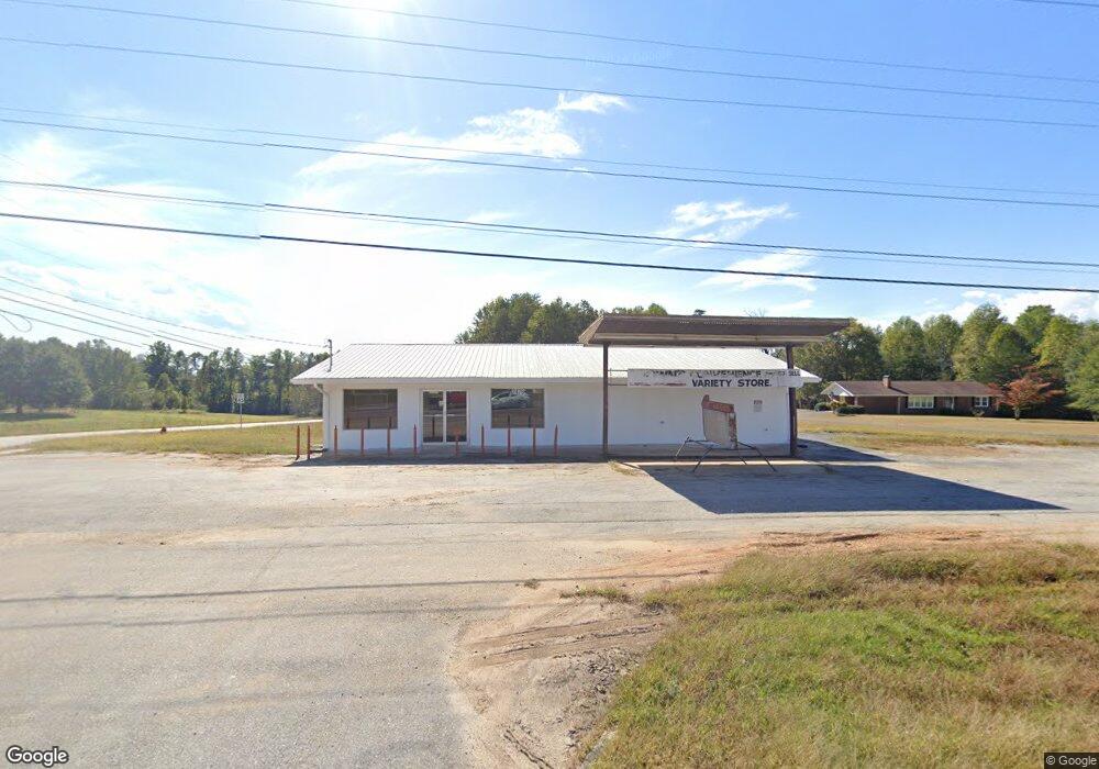
2476 Cannon Bridge Rd Demorest, GA 30535
Estimated Value: $536,242
--
Bed
--
Bath
2,400
Sq Ft
$223/Sq Ft
Est. Value
About This Home
This home is located at 2476 Cannon Bridge Rd, Demorest, GA 30535 and is currently estimated at $536,242, approximately $223 per square foot. 2476 Cannon Bridge Rd is a home located in Habersham County with nearby schools including Fairview Elementary School, South Habersham Middle School, and Habersham Success Academy.
Ownership History
Date
Name
Owned For
Owner Type
Purchase Details
Closed on
Aug 1, 2023
Sold by
Brown Dwight
Bought by
Kv Inestments Llc
Current Estimated Value
Home Financials for this Owner
Home Financials are based on the most recent Mortgage that was taken out on this home.
Original Mortgage
$250,000
Outstanding Balance
$174,464
Interest Rate
6.81%
Mortgage Type
New Conventional
Estimated Equity
$361,778
Purchase Details
Closed on
Mar 31, 2023
Sold by
Pendergrass Barbara
Bought by
Brown Dwight
Purchase Details
Closed on
Apr 7, 2011
Sold by
Kimbrell Leon
Bought by
Kimbrell Leon
Create a Home Valuation Report for This Property
The Home Valuation Report is an in-depth analysis detailing your home's value as well as a comparison with similar homes in the area
Home Values in the Area
Average Home Value in this Area
Purchase History
| Date | Buyer | Sale Price | Title Company |
|---|---|---|---|
| Kv Inestments Llc | $500,000 | -- | |
| Brown Dwight | $125,000 | -- | |
| Kimbrell Leon | -- | -- |
Source: Public Records
Mortgage History
| Date | Status | Borrower | Loan Amount |
|---|---|---|---|
| Open | Kv Inestments Llc | $250,000 |
Source: Public Records
Tax History Compared to Growth
Tax History
| Year | Tax Paid | Tax Assessment Tax Assessment Total Assessment is a certain percentage of the fair market value that is determined by local assessors to be the total taxable value of land and additions on the property. | Land | Improvement |
|---|---|---|---|---|
| 2025 | $2,073 | $85,801 | $16,635 | $69,166 |
| 2024 | $2,198 | $84,688 | $11,196 | $73,492 |
| 2023 | $904 | $36,148 | $8,612 | $27,536 |
| 2022 | $791 | $30,320 | $8,612 | $21,708 |
| 2021 | $656 | $25,260 | $5,384 | $19,876 |
| 2020 | $597 | $22,200 | $5,384 | $16,816 |
| 2019 | $598 | $22,200 | $5,384 | $16,816 |
| 2018 | $593 | $22,200 | $5,384 | $16,816 |
| 2017 | $510 | $18,980 | $4,304 | $14,676 |
| 2016 | $495 | $47,450 | $4,304 | $14,676 |
| 2015 | $489 | $47,450 | $4,304 | $14,676 |
| 2014 | $498 | $47,450 | $4,304 | $14,676 |
| 2013 | -- | $18,980 | $4,304 | $14,676 |
Source: Public Records
Map
Nearby Homes
- 8.5 +/- Smith Loop
- 268 Jud Tench Rd
- 264 Canyon Point Dr
- 240 Canyon Point Dr
- 183 Golden Valley Dr
- 155 Brentwood Dr
- 274 Hopes Cir
- 950 Hancock Rd
- 3750 Old Cleveland Rd
- 699 Cobblestone Ln
- 500 Cross Creek Trail
- 329 Twisting Ridge Trail
- 161 Twisting Ridge Trail
- 512 Olde Rockhouse Ln
- LOT 4 Olde Rockhouse Ln
- 451 Spiral Hills Dr
- 445 Spiral Hills Dr
- 441 Spiral Hills Dr
- 158 Saluda Dr
- 0 Peaceful Waters Ln Unit 7521131
- 2504 Cannon Bridge Rd
- 2434 Cannon Bridge Rd
- 2520 Cannon Bridge Rd
- 1811 Smith Loop
- 1992 Smith Loop
- 13.97 Cannon Bridge Rd
- 424 Cannon Bridge Rd
- N Cannon Bridge Rd
- 2928 Cannon Bridge Rd
- 339 Tom Trotter Rd
- 2368 Cannon Bridge Rd
- 2368 Cannon Bridge Rd
- 242 Double Springs Rd
- 145 Family Ties Ln
- 2691 Cannon Bridge Rd
- 2262 Cannon Bridge Rd
- 197 Peddlers Ln
- 312 Double Springs Rd
- 200 Peddlers Ln
- 160 Family Ties Ln