2476 Dixie Rd Covington, GA 30014
Estimated Value: $235,000 - $293,000
Studio
2
Baths
1,378
Sq Ft
$189/Sq Ft
Est. Value
About This Home
This home is located at 2476 Dixie Rd, Covington, GA 30014 and is currently estimated at $260,141, approximately $188 per square foot. 2476 Dixie Rd is a home located in Newton County with nearby schools including East Newton Elementary School, Indian Creek Middle School, and Eastside High School.
Ownership History
Date
Name
Owned For
Owner Type
Purchase Details
Closed on
Jan 28, 2000
Sold by
Baker Roy T and Baker Elizabeth J
Bought by
Hinson Ronald D and Hinson Patricia A
Current Estimated Value
Home Financials for this Owner
Home Financials are based on the most recent Mortgage that was taken out on this home.
Original Mortgage
$99,949
Outstanding Balance
$31,143
Interest Rate
8.02%
Mortgage Type
FHA
Estimated Equity
$228,998
Purchase Details
Closed on
Jul 3, 1998
Sold by
Lake Arthur Investments Co Inc
Bought by
Baker Roy T and Baker Elizabeth J
Home Financials for this Owner
Home Financials are based on the most recent Mortgage that was taken out on this home.
Original Mortgage
$86,656
Interest Rate
7.02%
Mortgage Type
FHA
Create a Home Valuation Report for This Property
The Home Valuation Report is an in-depth analysis detailing your home's value as well as a comparison with similar homes in the area
Home Values in the Area
Average Home Value in this Area
Purchase History
| Date | Buyer | Sale Price | Title Company |
|---|---|---|---|
| Hinson Ronald D | $100,000 | -- | |
| Baker Roy T | $88,500 | -- |
Source: Public Records
Mortgage History
| Date | Status | Borrower | Loan Amount |
|---|---|---|---|
| Open | Hinson Ronald D | $99,949 | |
| Previous Owner | Baker Roy T | $86,656 |
Source: Public Records
Tax History
| Year | Tax Paid | Tax Assessment Tax Assessment Total Assessment is a certain percentage of the fair market value that is determined by local assessors to be the total taxable value of land and additions on the property. | Land | Improvement |
|---|---|---|---|---|
| 2025 | $1,368 | $100,080 | $12,000 | $88,080 |
| 2024 | $1,180 | $88,160 | $7,680 | $80,480 |
| 2023 | $1,408 | $80,920 | $7,680 | $73,240 |
| 2022 | $942 | $63,720 | $7,680 | $56,040 |
| 2021 | $608 | $49,160 | $5,760 | $43,400 |
| 2020 | $169 | $34,240 | $4,800 | $29,440 |
| 2019 | $186 | $34,680 | $4,800 | $29,880 |
| 2018 | $947 | $31,480 | $4,800 | $26,680 |
| 2017 | $922 | $30,760 | $4,800 | $25,960 |
| 2016 | $922 | $30,760 | $4,800 | $25,960 |
| 2015 | $915 | $30,560 | $4,800 | $25,760 |
| 2014 | $914 | $30,560 | $0 | $0 |
Source: Public Records
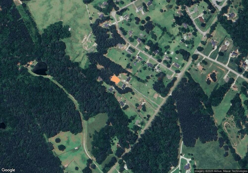
Map
Nearby Homes
- 80 Graystone Dr
- 95 Cambridge Dr
- 55 Cohutta Dr
- 25 Caseys Way
- 115 Rose Creek Dr
- 170 Rose Creek Dr
- 155 Rose Creek Dr
- 489 Mount Mariah Rd
- 55 Glengarry Chase Unit 1
- 20 Balfour Dr
- 25 Hornbeam Way
- 35 Balfour Dr
- 645 5th Ave
- 30 Hollyhock Ln
- 0 Adams Rd Unit 7685218
- 0 Adams Rd Unit 7685226
- 0 Adams Rd Unit TRACT 5
- 0 Adams Rd Unit TRACT 4
- 0 Adams Rd Unit TRACT 6
- 0 Adams Rd Unit TRACT 7
- 2494 Dixie Rd
- 2500 Dixie Rd
- 2472 Dixie Rd
- 2506 Dixie Rd
- 190 Graystone Dr
- 180 Graystone Dr
- 200 Graystone Dr
- 2484 Dixie Rd
- 170 Graystone Dr
- 210 Graystone Dr
- 185 Graystone Dr
- 195 Graystone Dr
- 220 Graystone Dr
- 2464 Dixie Rd
- 160 Graystone Dr
- 2520 Dixie Rd Unit 2
- 175 Graystone Dr
- 230 Graystone Dr
- 215 Graystone Dr
- 165 Graystone Dr
Your Personal Tour Guide
Ask me questions while you tour the home.