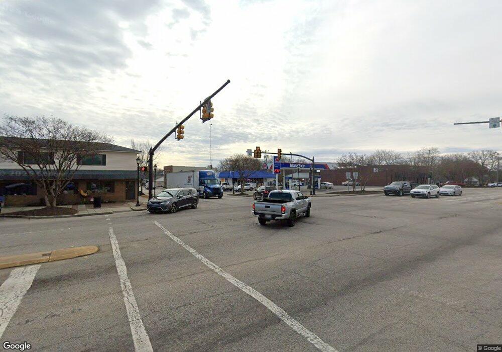
2476 Highway 55 W Clover, SC 29710
Estimated Value: $309,607 - $425,000
--
Bed
--
Bath
2,568
Sq Ft
$140/Sq Ft
Est. Value
About This Home
This home is located at 2476 Highway 55 W, Clover, SC 29710 and is currently estimated at $359,902, approximately $140 per square foot. 2476 Highway 55 W is a home located in York County with nearby schools including Bethany Elementary School, Clover Middle School, and Clover High School.
Ownership History
Date
Name
Owned For
Owner Type
Purchase Details
Closed on
Jul 12, 2023
Sold by
Mcmackin James L and Mcmackin Barbara M
Bought by
Smith Nicholas Branch and Mcmackin Skylar Ciera
Current Estimated Value
Home Financials for this Owner
Home Financials are based on the most recent Mortgage that was taken out on this home.
Original Mortgage
$230,000
Outstanding Balance
$222,364
Interest Rate
5.4%
Mortgage Type
New Conventional
Estimated Equity
$137,538
Purchase Details
Closed on
Dec 15, 2021
Sold by
Mcmackin Iii James L
Bought by
Mcmackin James L and Mcmackin Barbara
Home Financials for this Owner
Home Financials are based on the most recent Mortgage that was taken out on this home.
Original Mortgage
$207,000
Interest Rate
3.11%
Mortgage Type
New Conventional
Purchase Details
Closed on
Jun 2, 1999
Sold by
Mcmackin James L
Bought by
Mcmackin James L
Create a Home Valuation Report for This Property
The Home Valuation Report is an in-depth analysis detailing your home's value as well as a comparison with similar homes in the area
Home Values in the Area
Average Home Value in this Area
Purchase History
| Date | Buyer | Sale Price | Title Company |
|---|---|---|---|
| Smith Nicholas Branch | $230,000 | None Listed On Document | |
| Mcmackin James L | -- | Mortgage Connect Lp | |
| Mcmackin James L | $69,377 | -- |
Source: Public Records
Mortgage History
| Date | Status | Borrower | Loan Amount |
|---|---|---|---|
| Open | Smith Nicholas Branch | $230,000 | |
| Previous Owner | Mcmackin James L | $207,000 |
Source: Public Records
Tax History Compared to Growth
Tax History
| Year | Tax Paid | Tax Assessment Tax Assessment Total Assessment is a certain percentage of the fair market value that is determined by local assessors to be the total taxable value of land and additions on the property. | Land | Improvement |
|---|---|---|---|---|
| 2025 | $1,281 | $10,200 | $2,243 | $7,957 |
| 2024 | $5,177 | $13,305 | $2,016 | $11,289 |
| 2023 | $986 | $7,406 | $1,332 | $6,074 |
| 2022 | $797 | $7,406 | $1,332 | $6,074 |
| 2021 | -- | $7,406 | $1,332 | $6,074 |
| 2020 | $784 | $7,406 | $0 | $0 |
| 2019 | $748 | $6,440 | $0 | $0 |
| 2018 | $755 | $6,440 | $0 | $0 |
| 2017 | $699 | $6,440 | $0 | $0 |
| 2016 | $685 | $6,440 | $0 | $0 |
| 2014 | $752 | $6,440 | $1,280 | $5,160 |
| 2013 | $752 | $6,720 | $1,280 | $5,440 |
Source: Public Records
Map
Nearby Homes
- 966 Laurelwood Dr
- 946 Laurelwood Dr
- 1240 Beamguard Rd
- 00 State Road S-46-883
- 0000 Davis Cir
- 290 S Grandview Rd
- 218 Muldoon Ln
- 226 Muldoon Ln
- 00 Tart Rd
- Lot 1 Rhyne Rd
- 1312 Sage Pine Cir Unit 19
- Princeton Plan at Shepherd's Trace - Shepherds Trace
- Pinehurst Plan at Shepherd's Trace - Shepherds Trace
- Muirfield Plan at Shepherd's Trace - Shepherds Trace
- Pinehurst with 3rd Floor Retreat Plan at Shepherd's Trace - Shepherds Trace
- Madison Plan at Shepherd's Trace - Shepherds Trace
- Davidson Plan at Shepherd's Trace - Shepherds Trace
- Bethpage Plan at Shepherd's Trace - Shepherds Trace
- Columbia Plan at Shepherd's Trace - Shepherds Trace
- St. Andrews Plan at Shepherd's Trace - Shepherds Trace
- 2476 Highway 55 W
- 2422 Highway 55 W
- 2422 Highway 55 W
- 2469 Highway 55 W
- 2525 Highway 55 W
- 2393 Highway 55 W
- 2549 Pats Rd
- 2425 Highway 55 W
- Lt 1B Henry Knob Rd
- Lot 1A Henry Knob Rd
- 7 Henry Knob Rd
- 2355 Highway 55 W
- 104.7 Henry Knob Rd
- 104.7 Henry Knob Rd
- 0000 Henry Knob Rd
- 2612 Highway 55 W
- 2614 Pats Rd
- 2595 Pats Rd
- 2626 Pats Rd
- 2644 Highway 55 W
