24760 Us Highway 63 Edgar Springs, MO 65462
Estimated Value: $193,000 - $422,957
4
Beds
3
Baths
2,050
Sq Ft
$159/Sq Ft
Est. Value
About This Home
This home is located at 24760 Us Highway 63, Edgar Springs, MO 65462 and is currently estimated at $325,989, approximately $159 per square foot. 24760 Us Highway 63 is a home located in Phelps County with nearby schools including Phelps Co. Elementary School.
Ownership History
Date
Name
Owned For
Owner Type
Purchase Details
Closed on
Jun 22, 2023
Sold by
Zika Chris and Zika Megan
Bought by
Stoops Dakota D and Stoops Joni L
Current Estimated Value
Home Financials for this Owner
Home Financials are based on the most recent Mortgage that was taken out on this home.
Original Mortgage
$226,000
Outstanding Balance
$220,302
Interest Rate
6.71%
Mortgage Type
Construction
Estimated Equity
$105,687
Purchase Details
Closed on
Jan 21, 2005
Purchase Details
Closed on
Oct 27, 1976
Create a Home Valuation Report for This Property
The Home Valuation Report is an in-depth analysis detailing your home's value as well as a comparison with similar homes in the area
Home Values in the Area
Average Home Value in this Area
Purchase History
| Date | Buyer | Sale Price | Title Company |
|---|---|---|---|
| Stoops Dakota D | $282,500 | South Ctrl Land Title | |
| -- | -- | -- | |
| -- | -- | -- |
Source: Public Records
Mortgage History
| Date | Status | Borrower | Loan Amount |
|---|---|---|---|
| Open | Stoops Dakota D | $226,000 |
Source: Public Records
Tax History Compared to Growth
Tax History
| Year | Tax Paid | Tax Assessment Tax Assessment Total Assessment is a certain percentage of the fair market value that is determined by local assessors to be the total taxable value of land and additions on the property. | Land | Improvement |
|---|---|---|---|---|
| 2025 | $1,534 | $49,010 | $4,180 | $44,830 |
| 2024 | $1,534 | $43,770 | $3,020 | $40,750 |
| 2023 | $1,531 | $43,770 | $3,020 | $40,750 |
| 2022 | $1,540 | $43,770 | $3,020 | $40,750 |
| 2021 | $1,543 | $43,770 | $3,020 | $40,750 |
| 2020 | $1,562 | $43,770 | $3,020 | $40,750 |
| 2019 | $1,430 | $40,240 | $3,020 | $37,220 |
| 2018 | $1,438 | $40,240 | $3,020 | $37,220 |
| 2017 | $1,438 | $40,240 | $3,020 | $37,220 |
| 2016 | $1,424 | $40,240 | $3,020 | $37,220 |
| 2015 | -- | $40,240 | $3,020 | $37,220 |
| 2014 | -- | $40,240 | $3,020 | $37,220 |
| 2013 | -- | $40,240 | $0 | $0 |
Source: Public Records
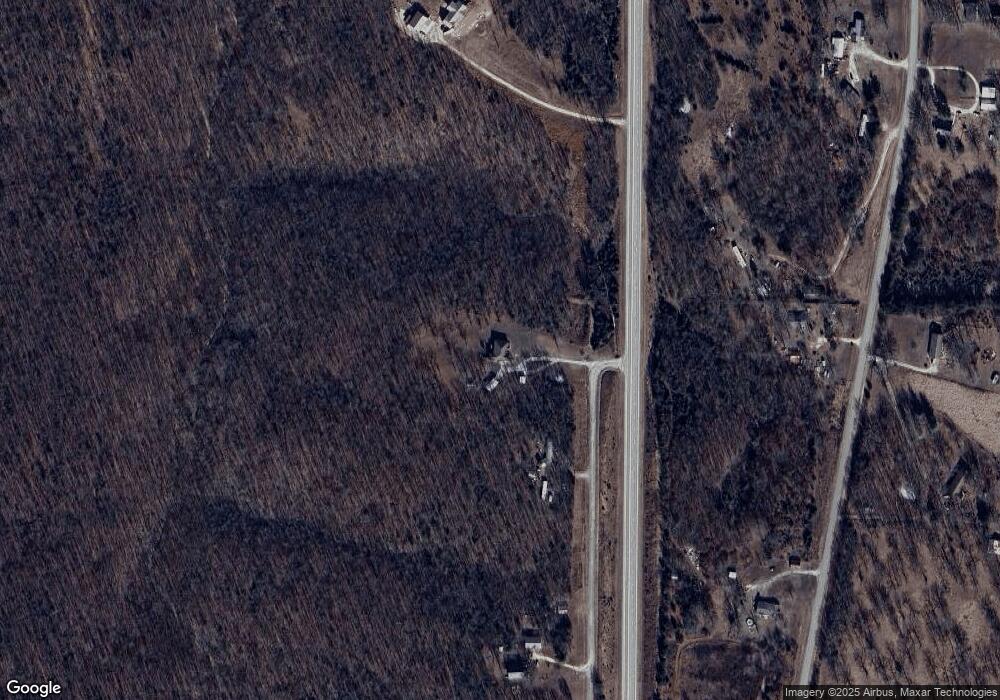
Map
Nearby Homes
- 0 Tbd S Us Highway 63
- 23835 County Road 6033
- 0 Highway Ff
- 000 State Route Ff
- 0 County Road 6130
- 708 Locust St
- 29405 Highway 63
- 000 County Road 6190
- 23294 State Route T
- 14931 Private Drive 6021
- 19501 State Route M
- 000 County Road 6160 and 6210
- 000 County Rd 6160 and 6210
- 13351 State Route H
- 16445 County Road 6220
- 2803 Highway Oo
- 20372 County Road 6380
- 30190 S Us Highway 63
- 000 County Road 6388
- 00 Private Drive 6245
- 24760 S Us Highway 63
- 24751 S Us Highway 63
- 24651 County Road 6050
- 24767 County Road 6050
- 24905 County Road 6050
- 24770 County Road 6050
- 24770 County Road 6050
- 24768 County Road 6050
- 24607 County Road 6050
- 24610 County Road 6050
- 24550 County Road 6050
- 24550 Cr 6050
- 24485 County Road 6050
- 24535 County Road 6050
- 25101 Cr 6050
- 25101 County Road 6050
- 25100 County Road 6050
- 24440 County Road 6050
- 24125 County Road 6050 Unit 24221
- 24143 County Road 6050