24771 S 450 Rd Tahlequah, OK 74464
Estimated Value: $145,000
--
Bed
2
Baths
--
Sq Ft
151.83
Acres
About This Home
This home is located at 24771 S 450 Rd, Tahlequah, OK 74464 and is currently estimated at $145,000. 24771 S 450 Rd is a home located in Cherokee County with nearby schools including Fort Gibson Early Learning Center, Fort Gibson Intermediate Elementary School, and Fort Gibson Middle School.
Ownership History
Date
Name
Owned For
Owner Type
Purchase Details
Closed on
Nov 2, 2009
Sold by
Garner Richard L and Garner Sheryle L
Bought by
Garner Richard L and Garner Sheryle L
Current Estimated Value
Home Financials for this Owner
Home Financials are based on the most recent Mortgage that was taken out on this home.
Original Mortgage
$263,000
Outstanding Balance
$179,008
Interest Rate
4.9%
Mortgage Type
New Conventional
Purchase Details
Closed on
Nov 18, 2004
Sold by
Richard and Sheryle Garner
Bought by
Garner Family Trust
Create a Home Valuation Report for This Property
The Home Valuation Report is an in-depth analysis detailing your home's value as well as a comparison with similar homes in the area
Home Values in the Area
Average Home Value in this Area
Purchase History
| Date | Buyer | Sale Price | Title Company |
|---|---|---|---|
| Garner Richard L | -- | None Available | |
| Garner Family Trust | -- | -- |
Source: Public Records
Mortgage History
| Date | Status | Borrower | Loan Amount |
|---|---|---|---|
| Open | Garner Richard L | $263,000 |
Source: Public Records
Tax History Compared to Growth
Tax History
| Year | Tax Paid | Tax Assessment Tax Assessment Total Assessment is a certain percentage of the fair market value that is determined by local assessors to be the total taxable value of land and additions on the property. | Land | Improvement |
|---|---|---|---|---|
| 2024 | $416 | $4,997 | $1,464 | $3,533 |
| 2023 | $416 | $4,851 | $1,464 | $3,387 |
| 2022 | $397 | $4,851 | $1,464 | $3,387 |
| 2021 | $388 | $4,730 | $1,464 | $3,266 |
| 2020 | $379 | $4,592 | $1,464 | $3,128 |
| 2019 | $371 | $4,458 | $1,464 | $2,994 |
| 2018 | $371 | $4,458 | $1,464 | $2,994 |
| 2017 | $395 | $4,781 | $1,977 | $2,804 |
| 2016 | $385 | $4,667 | $1,815 | $2,852 |
| 2015 | $338 | $4,178 | $1,485 | $2,693 |
| 2014 | $338 | $4,178 | $1,485 | $2,693 |
Source: Public Records
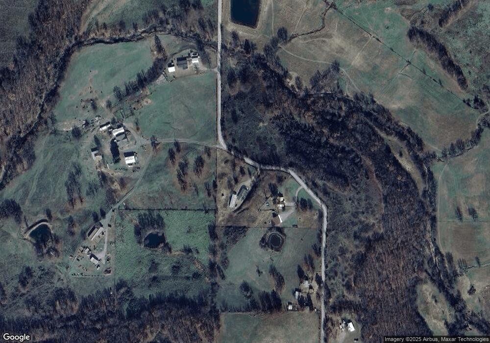
Map
Nearby Homes
- 24481 S Manard Rd
- 0 805 Rd
- 12219 U S 62
- 0 Hwy 62 Hwy Unit 2532141
- 0 Hwy 62 Hwy Unit 2532145
- 0 Hwy 62 Hwy Unit 2532149
- 0 Hwy 62 Hwy Unit 2532139
- 0 Hwy 62 Hwy Unit 2517481
- 11396 W Joyce Ln
- 1904 N County Line Rd E
- 119 N 6 Mile Ln
- 152 Reid Rd
- 22695 N 6 Mile Rd
- 175 Reid Rd
- 13380 W Clyde Maher Rd
- 14650 W 835 Rd
- 1838 E Hwy 62
- 14784 W 806 Rd
- 23532 N 5 Mile Rd
- 11769 W 838 Rd
- 24771 S 450 Rd
- 24785 S 450 Rd
- 24869 S 450 Rd
- 24981 S 450 Rd
- 25034 S 450 Rd
- 25096 S 450 Rd
- 25047 S 450 Rd
- 24508 S 450 Rd
- 12021 W 823 Rd
- 12090 W 823 Rd
- 25242 S 450 Rd
- 25380 S 450 Rd
- 24337 S 450 Rd
- 11758 W 835 Rd
- 25354 S 450 Rd
- 24716 S Manard Rd
- 24392 S 450 Rd
- 11069 W 825 Rd
- 25410 S 450 Rd
- 0 County Line Rd Unit 1923196