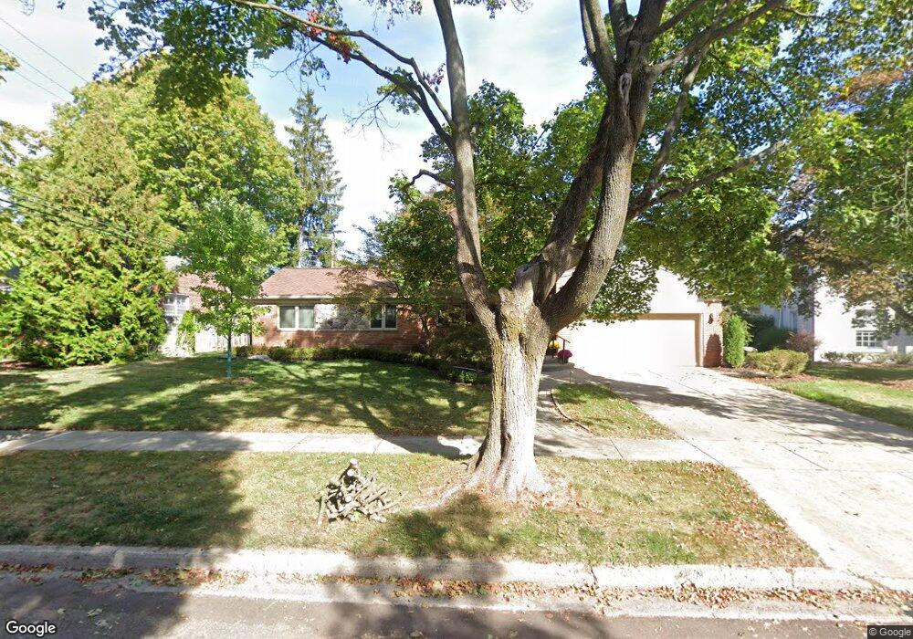
2478 Devon Ln Unit Bldg-Unit Birmingham, MI 48009
Estimated Value: $818,000 - $929,000
3
Beds
3
Baths
2,342
Sq Ft
$367/Sq Ft
Est. Value
About This Home
This home is located at 2478 Devon Ln Unit Bldg-Unit, Birmingham, MI 48009 and is currently estimated at $859,978, approximately $367 per square foot. 2478 Devon Ln Unit Bldg-Unit is a home located in Oakland County with nearby schools including Pierce Elementary School, Derby Middle School, and Ernest W. Seaholm High School.
Ownership History
Date
Name
Owned For
Owner Type
Purchase Details
Closed on
Jun 26, 2020
Sold by
Calcaterra Joseph A and Calcaterra Janet Ruth
Bought by
Calcaterra Joseph A and Calcaterra Janet Ruth
Current Estimated Value
Purchase Details
Closed on
Aug 28, 2018
Sold by
Galdi Richard J and Galdi Donna M
Bought by
Calcaterra Joe and Calcaterra Janet
Purchase Details
Closed on
Dec 22, 2017
Sold by
Waterfall Victoria Grantor Trust Ii Seri
Bought by
Cascade Funding 2017 1 Alternative Holdi
Purchase Details
Closed on
Nov 28, 2017
Sold by
Galdi Richard J and Galdi Donna
Bought by
Waterfall Victoria Grantor Trust Ii
Create a Home Valuation Report for This Property
The Home Valuation Report is an in-depth analysis detailing your home's value as well as a comparison with similar homes in the area
Home Values in the Area
Average Home Value in this Area
Purchase History
| Date | Buyer | Sale Price | Title Company |
|---|---|---|---|
| Calcaterra Joseph A | -- | None Available | |
| Calcaterra Joe | $521,425 | None Available | |
| Cascade Funding 2017 1 Alternative Holdi | -- | None Available | |
| Waterfall Victoria Grantor Trust Ii | $349,000 | None Available |
Source: Public Records
Tax History
| Year | Tax Paid | Tax Assessment Tax Assessment Total Assessment is a certain percentage of the fair market value that is determined by local assessors to be the total taxable value of land and additions on the property. | Land | Improvement |
|---|---|---|---|---|
| 2025 | $11,123 | $329,910 | $0 | $0 |
| 2024 | $9,819 | $296,290 | $0 | $0 |
| 2023 | $9,409 | $294,890 | $0 | $0 |
| 2022 | $10,088 | $269,310 | $0 | $0 |
| 2021 | $10,178 | $265,950 | $0 | $0 |
| 2020 | $9,068 | $249,650 | $0 | $0 |
| 2019 | $10,831 | $258,580 | $0 | $0 |
| 2018 | $13,203 | $246,390 | $0 | $0 |
| 2017 | $9,984 | $245,480 | $0 | $0 |
| 2016 | $10,153 | $244,870 | $0 | $0 |
| 2015 | -- | $235,600 | $0 | $0 |
| 2014 | -- | $198,090 | $0 | $0 |
| 2011 | -- | $196,860 | $0 | $0 |
Source: Public Records
Map
Nearby Homes
- 488 Bryn Mawr St
- 2627 Bradway Blvd
- 186 Westwood Dr
- 576 Golfview Blvd
- 394 S Glenhurst Dr
- 580 S Cranbrook Rd
- 533 Westwood Dr
- 757 Woodlea Ct
- 2820 Heathfield Rd
- 2802 Heathfield Rd
- 862 S Glenhurst Dr
- 100 Overhill Rd
- 2721 Heathfield Rd
- 0000 Larchlea Dr
- 786 S Cranbrook Rd
- 1882 Melbourne St
- 520 Pleasant St
- 174 Hillboro Dr
- 1171 Arden Ln
- 231 Wadsworth Ln
- 2478 Devon Ln
- 2452 Devon Ln
- 2496 Devon Ln
- 2471 Radnor St
- 2434 Devon Ln
- 2453 Radnor St
- 2435 Devon Ln Unit Bldg-Unit
- 2435 Devon Ln
- 2497 Devon Ln
- 2400 Devon Ln
- 2401 Radnor St
- 334 Bryn Mawr St
- 140 S Cranbrook Rd
- 166 S Cranbrook Rd
- 210 S Cranbrook Rd
- 366 Bryn Mawr St
- 2368 Radnor St
- 275 Bryn Mawr St
- 236 S Cranbrook Rd
- 2371 Radnor St Unit Bldg-Unit
Your Personal Tour Guide
Ask me questions while you tour the home.