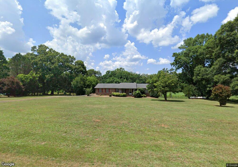
2478 Shoal Creek Rd Lavonia, GA 30553
Estimated Value: $318,035 - $588,000
2
Beds
2
Baths
1,532
Sq Ft
$265/Sq Ft
Est. Value
About This Home
This home is located at 2478 Shoal Creek Rd, Lavonia, GA 30553 and is currently estimated at $406,509, approximately $265 per square foot. 2478 Shoal Creek Rd is a home located in Hart County with nearby schools including Hart County High School.
Ownership History
Date
Name
Owned For
Owner Type
Purchase Details
Closed on
Dec 24, 2013
Sold by
Hart Joseph M
Bought by
Hart Fam Farm Properties Lp
Current Estimated Value
Purchase Details
Closed on
Dec 20, 2013
Sold by
Farrow April M
Bought by
Hart Joseph M
Purchase Details
Closed on
Nov 23, 2013
Sold by
Farrow April
Bought by
Farrow April and Dowd Melissa M
Purchase Details
Closed on
Aug 14, 2008
Sold by
Gillespie Ruth Ann
Bought by
Farrow April M
Purchase Details
Closed on
Oct 1, 1993
Purchase Details
Closed on
Jul 1, 1989
Purchase Details
Closed on
Feb 1, 1985
Purchase Details
Closed on
Aug 1, 1983
Create a Home Valuation Report for This Property
The Home Valuation Report is an in-depth analysis detailing your home's value as well as a comparison with similar homes in the area
Home Values in the Area
Average Home Value in this Area
Purchase History
| Date | Buyer | Sale Price | Title Company |
|---|---|---|---|
| Hart Fam Farm Properties Lp | -- | -- | |
| Hart Joseph M | $136,500 | -- | |
| Farrow April | -- | -- | |
| Farrow April M | -- | -- | |
| -- | -- | -- | |
| -- | -- | -- | |
| -- | -- | -- | |
| -- | -- | -- |
Source: Public Records
Tax History Compared to Growth
Tax History
| Year | Tax Paid | Tax Assessment Tax Assessment Total Assessment is a certain percentage of the fair market value that is determined by local assessors to be the total taxable value of land and additions on the property. | Land | Improvement |
|---|---|---|---|---|
| 2024 | $1,004 | $97,099 | $35,969 | $61,130 |
| 2023 | $996 | $81,865 | $28,157 | $53,708 |
| 2022 | $921 | $76,922 | $27,602 | $49,320 |
| 2021 | $945 | $65,549 | $19,520 | $46,029 |
| 2020 | $925 | $61,956 | $18,999 | $42,957 |
| 2019 | $911 | $60,869 | $18,999 | $41,870 |
| 2018 | $932 | $61,503 | $18,999 | $42,504 |
| 2017 | $928 | $61,089 | $18,999 | $42,090 |
| 2016 | $953 | $56,522 | $13,979 | $42,543 |
| 2015 | $907 | $44,406 | $2,037 | $42,369 |
| 2014 | $888 | $42,586 | $1,472 | $41,114 |
| 2013 | -- | $49,442 | $12,217 | $37,225 |
Source: Public Records
Map
Nearby Homes
- 0 Hwy 59 and Ross Place Unit 10499138
- 222 Charity Dr
- 181 Charity Dr
- 56 Harriet Dr
- 68 Harriet Dr
- 125 Charity Dr
- 138 Victoria Ln
- 86 Luckie St
- 148 Allen Dr
- 0 State Route 366
- LOT TBD 3 State Route 366
- 2276 Providence Church Rd
- 89 Huntington Dr
- 266 Randall St
- 104 Powers Rd
- 3434 Highway 59
- 5710 Vickery St
- 49 Wright St Unit 65
- 55 Wright St Unit 67
- 57 Wright St Unit 68
- 2530 Shoal Creek Rd
- 39 Kings Rd
- 314 Kings Rd
- 355 Kings Rd
- 2188 Shoal Creek Rd
- 380 Kings Rd
- 391 Kings Rd
- 445 Kings Rd
- 75 Bessie Rd
- 75 Bessie Rd
- 75 Bessie Rd
- 2976 Shoal Creek Rd
- 602 Kings Rd
- 485 Kings Rd
- 3029 Shoal Creek Rd
- 3159 Shoal Creek Rd
- 1584 Parkertown Rd
- 21.22ac Shoal Creek Rd
- 0 Kings Rd
- 353637 Shoal Creek Crossing