24783 Road R23 Delphos, OH 45833
Estimated Value: $313,000 - $423,000
3
Beds
2
Baths
1,996
Sq Ft
$179/Sq Ft
Est. Value
About This Home
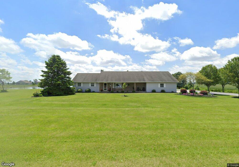
This home is located at 24783 Road R23, Delphos, OH 45833 and is currently estimated at $358,184, approximately $179 per square foot. 24783 Road R23 is a home located in Putnam County with nearby schools including Ottoville Elementary School and Ottoville High School.
Ownership History
Date
Name
Owned For
Owner Type
Purchase Details
Closed on
Feb 11, 2007
Sold by
Steele Raymond and Steele Jean M
Bought by
Byrne Craig E and Byrne Susan M
Current Estimated Value
Home Financials for this Owner
Home Financials are based on the most recent Mortgage that was taken out on this home.
Original Mortgage
$140,000
Interest Rate
7.5%
Mortgage Type
Adjustable Rate Mortgage/ARM
Create a Home Valuation Report for This Property
The Home Valuation Report is an in-depth analysis detailing your home's value as well as a comparison with similar homes in the area
Home Values in the Area
Average Home Value in this Area
Purchase History
| Date | Buyer | Sale Price | Title Company |
|---|---|---|---|
| Byrne Craig E | $165,000 | None Available |
Source: Public Records
Mortgage History
| Date | Status | Borrower | Loan Amount |
|---|---|---|---|
| Previous Owner | Byrne Craig E | $140,000 |
Source: Public Records
Tax History Compared to Growth
Tax History
| Year | Tax Paid | Tax Assessment Tax Assessment Total Assessment is a certain percentage of the fair market value that is determined by local assessors to be the total taxable value of land and additions on the property. | Land | Improvement |
|---|---|---|---|---|
| 2024 | $2,602 | $106,000 | $14,300 | $91,700 |
| 2023 | $3,276 | $79,380 | $10,250 | $69,130 |
| 2022 | $2,837 | $79,381 | $10,252 | $69,129 |
| 2021 | $2,975 | $79,380 | $10,250 | $69,130 |
| 2020 | $2,934 | $66,630 | $9,000 | $57,630 |
| 2019 | $2,608 | $73,010 | $10,250 | $62,760 |
| 2018 | $2,546 | $73,010 | $10,250 | $62,760 |
| 2017 | $2,673 | $73,010 | $10,250 | $62,760 |
| 2016 | $2,351 | $66,630 | $9,000 | $57,630 |
| 2015 | $2,364 | $66,630 | $9,000 | $57,630 |
| 2014 | $1,969 | $56,730 | $8,760 | $47,970 |
| 2013 | $2,117 | $57,980 | $10,010 | $47,970 |
Source: Public Records
Map
Nearby Homes
- 0 Road 24-Q
- 7510 State Route 66
- 320 Auglaize St
- 0 Heritage Cir Unit 6112034
- 0 Heritage Cir Unit 303239
- 8951 Brickner Rd
- 17736 Road 20p
- 1303 Carolyn Dr
- 1220 Rose Anna Dr
- 810 N Franklin St
- 704 N Franklin St
- 628 N Pierce St
- 610 N Washington St
- 650 E 6th St
- 604 W 6th St
- 503 W 6th St
- 616 W 5th St
- 405 N Franklin St
- 409 N Bredeick St
- 821 E 3rd St
- 24693 Road R23
- 24651 Road R23
- 24895 Road R23
- 18574 Road 23q
- 25017 Road R23
- 18622 Road 23q
- 18622 Road 23-Q
- 25050 Road R23
- 18660 Road 23q
- 18201 Road 24r
- 25061 Road R23
- 18216 Road 23q
- 18714 Road 23q
- 18287 Road R24
- 18194 Road 23q
- 18194 Road 24r
- 18321 Road R24
- 18256 Road R24
- 18256 Road 24q
- 24425 Road R23