24785 Highway 51 Tahlequah, OK 74464
Estimated Value: $336,000 - $959,336
3
Beds
3
Baths
1,808
Sq Ft
$358/Sq Ft
Est. Value
About This Home
This home is located at 24785 Highway 51, Tahlequah, OK 74464 and is currently estimated at $647,668, approximately $358 per square foot. 24785 Highway 51 is a home located in Cherokee County with nearby schools including Briggs Public School and Boudinot Christian School.
Ownership History
Date
Name
Owned For
Owner Type
Purchase Details
Closed on
Nov 26, 2024
Sold by
Snyder Nick Allen and Snyder Laura Annette
Bought by
Snyder Family Farms Llc
Current Estimated Value
Purchase Details
Closed on
Aug 26, 1994
Sold by
Gayle Herbert C and Gayle Sunday
Bought by
Norman Glenn and Nancy Cobb
Create a Home Valuation Report for This Property
The Home Valuation Report is an in-depth analysis detailing your home's value as well as a comparison with similar homes in the area
Home Values in the Area
Average Home Value in this Area
Purchase History
| Date | Buyer | Sale Price | Title Company |
|---|---|---|---|
| Snyder Family Farms Llc | -- | None Listed On Document | |
| Snyder Family Farms Llc | -- | None Listed On Document | |
| Norman Glenn | $26,800 | -- |
Source: Public Records
Tax History Compared to Growth
Tax History
| Year | Tax Paid | Tax Assessment Tax Assessment Total Assessment is a certain percentage of the fair market value that is determined by local assessors to be the total taxable value of land and additions on the property. | Land | Improvement |
|---|---|---|---|---|
| 2024 | $2,555 | $31,971 | $1,644 | $30,327 |
| 2023 | $2,555 | $31,039 | $1,580 | $29,459 |
| 2022 | $2,489 | $30,136 | $1,527 | $28,609 |
| 2021 | $2,230 | $29,257 | $1,475 | $27,782 |
| 2020 | $2,172 | $28,405 | $1,425 | $26,980 |
| 2019 | $2,123 | $27,578 | $1,545 | $26,033 |
| 2018 | $2,091 | $26,794 | $1,519 | $25,275 |
| 2017 | $2,042 | $26,013 | $2,203 | $23,810 |
| 2016 | $1,994 | $25,257 | $2,062 | $23,195 |
| 2015 | $1,407 | $21,875 | $996 | $20,879 |
| 2014 | $1,407 | $21,238 | $996 | $20,242 |
Source: Public Records
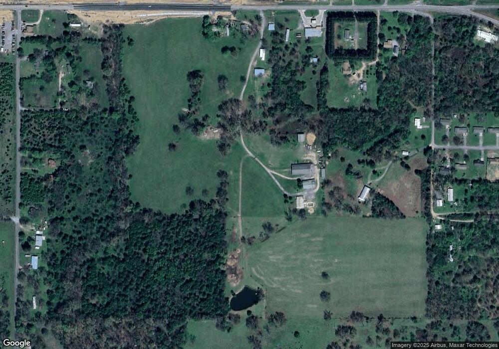
Map
Nearby Homes
- 17022 S 579 Rd
- 117 Baron Dr
- 24500 E 741 Rd
- 8147 N 544 Rd
- 25182 E 770 Rd
- 26618 Oklahoma 51
- 81134 S 4720 Rd
- 81118 S 4725 Rd
- 26986 Highway 51
- 18855 S 551 Rd
- 0000 E Salvation Rd
- 22678 Sunrise Ridge Dr
- 16527 N Highway 10
- 000 S 590 Road and 785 Rd E
- 0 Hwy 10 N Unit 2514793
- 0093 S Acres S (93 Acres) S Welling Rd
- 0 Alder Way
- 206 Alder Way
- 912 Summit Ridge Ct
- 105 Summit Ridge Dr
- 24835 Highway 51
- 24875 Highway 51
- 24764 Highway 51
- 24866 Highway 51
- 24891 Highway 51
- 24905 Highway 51
- 24908 Highway 51
- 24976 Highway 51
- 17055 S 579 Rd
- 17047 S 579 Rd
- 24980 Highway 51
- 24735 Hwy 51 E
- 24735 Hwy 51
- 25110 E 750 Rd
- 25035 Highway 51
- 25010 E Thompson Dr
- 24957 E Thompson Dr
- 25030 E Thompson Dr
- 25020 E Thompson Dr
- 24997 E Thompson Dr