2479 W Spring Canyon Rd Unit 249K Bank Approved P Parowan, UT 84761
Estimated Value: $562,000 - $670,013
--
Bed
3
Baths
2,877
Sq Ft
$214/Sq Ft
Est. Value
About This Home
This home is located at 2479 W Spring Canyon Rd Unit 249K Bank Approved P, Parowan, UT 84761 and is currently estimated at $616,007, approximately $214 per square foot. 2479 W Spring Canyon Rd Unit 249K Bank Approved P is a home located in Iron County with nearby schools including Parowan School, Parowan High School, and Cedar City High School.
Ownership History
Date
Name
Owned For
Owner Type
Purchase Details
Closed on
Feb 12, 2016
Sold by
Hall Andrew
Bought by
Hall Andrew and Vitatoe Vincent
Current Estimated Value
Home Financials for this Owner
Home Financials are based on the most recent Mortgage that was taken out on this home.
Original Mortgage
$235,000
Outstanding Balance
$187,459
Interest Rate
3.97%
Mortgage Type
New Conventional
Estimated Equity
$428,548
Create a Home Valuation Report for This Property
The Home Valuation Report is an in-depth analysis detailing your home's value as well as a comparison with similar homes in the area
Home Values in the Area
Average Home Value in this Area
Purchase History
| Date | Buyer | Sale Price | Title Company |
|---|---|---|---|
| Hall Andrew | -- | Cottonwood Title Insurance A |
Source: Public Records
Mortgage History
| Date | Status | Borrower | Loan Amount |
|---|---|---|---|
| Open | Hall Andrew | $235,000 |
Source: Public Records
Tax History Compared to Growth
Tax History
| Year | Tax Paid | Tax Assessment Tax Assessment Total Assessment is a certain percentage of the fair market value that is determined by local assessors to be the total taxable value of land and additions on the property. | Land | Improvement |
|---|---|---|---|---|
| 2025 | $5,133 | $689,820 | $182,858 | $506,962 |
| 2023 | $5,155 | $718,790 | $139,320 | $579,470 |
| 2022 | $5,447 | $642,890 | $116,100 | $526,790 |
| 2021 | $3,411 | $402,600 | $51,100 | $351,500 |
| 2020 | $3,440 | $358,670 | $51,100 | $307,570 |
| 2019 | $3,485 | $336,715 | $51,100 | $285,615 |
| 2018 | $3,513 | $336,715 | $51,100 | $285,615 |
| 2017 | $2,914 | $286,115 | $30,220 | $255,895 |
| 2016 | $2,970 | $263,190 | $30,220 | $232,970 |
| 2015 | $2,702 | $228,220 | $0 | $0 |
| 2014 | $3,017 | $240,830 | $0 | $0 |
Source: Public Records
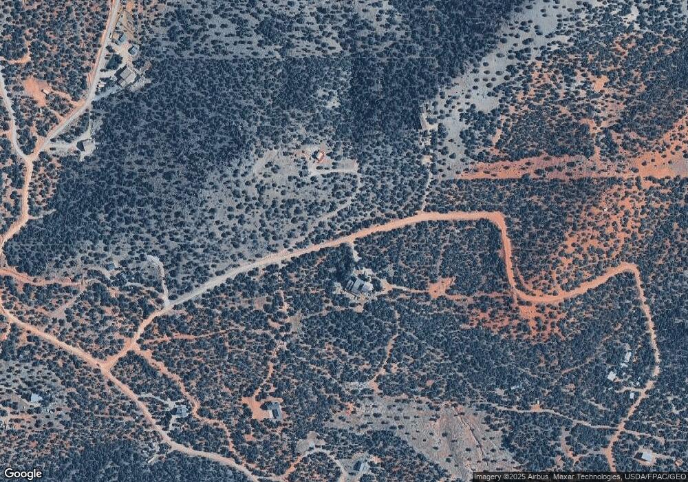
Map
Nearby Homes
- 0 Pine Canyon Dr Unit 25-260421
- 3505 W Allard Ranch Dr
- 2239 W 475 S
- 7.13 Acres Commercial Land
- 1521 W 950 S
- 2246 W 450 S
- 2228 W 450 S
- 704 S Heritage Hills Dr
- 680 S Heritage Hills Dr
- 267 S 2400 W
- 0 W Old Highway 91 Unit 24-253616
- 0 W Old Highway 91 Unit 108031
- 403 & 404 Kari
- 1435 W 200 S Unit 315
- 377 1375 W
- 1025 W Old Highway 91
- 0 Lot 3 Summit Valley Ranchos Unit 110908
- 1144 375 South St
- 1112 W 275 S
- 0 2 35 Ac- Summit Valley Ranchos Unit 113469
- 2479 W Spring Canyon Rd
- 2515 W Spring Canyon Rd
- 2480 W Spring Canyon Rd
- 0 W Spring Canyon Rd
- 1741 S Red Canyon Dr
- 2416 W Spring Canyon Rd
- 1741 S Red Canyon Dr
- 0 D-0228-0001-0002-01 Unit 21-226649
- 2.5 Acres Red Canyon Dr
- 2221 W Spring Canyon Rd Unit Lot 11 Red Cyn Subdi
- 2221 W Spring Canyon Rd
- 0 Spring Canyon Dr Unit Lot 3-D
- 0 Spring Canyon Dr Unit Lot 4-D
- 0 Spring Canyon Dr
- 1477 S Pine Canyon Dr
- N/A Red Canyon Subdivision
- 0 Lot 4-D Spring Canyon Dr Unit Parcel C-1106-0001-
- 0 Lot 4-D Spring Canyon Dr
- 0 Spring Cayon Dr Unit Lot 4-D
- 1624 S Red Canyon Dr