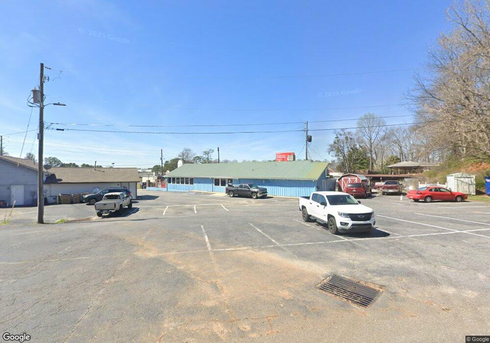
248 Atlanta Rd Cumming, GA 30040
Estimated Value: $603,954
--
Bed
--
Bath
2,836
Sq Ft
$213/Sq Ft
Est. Value
About This Home
This home is located at 248 Atlanta Rd, Cumming, GA 30040 and is currently estimated at $603,954, approximately $212 per square foot. 248 Atlanta Rd is a home located in Forsyth County with nearby schools including Cumming Elementary School, Otwell Middle School, and Forsyth Central High School.
Ownership History
Date
Name
Owned For
Owner Type
Purchase Details
Closed on
Sep 25, 2014
Sold by
Hester Gail
Bought by
Pardeep Pardeep
Current Estimated Value
Home Financials for this Owner
Home Financials are based on the most recent Mortgage that was taken out on this home.
Original Mortgage
$245,000
Outstanding Balance
$188,242
Interest Rate
4.16%
Mortgage Type
Commercial
Estimated Equity
$415,712
Create a Home Valuation Report for This Property
The Home Valuation Report is an in-depth analysis detailing your home's value as well as a comparison with similar homes in the area
Home Values in the Area
Average Home Value in this Area
Purchase History
| Date | Buyer | Sale Price | Title Company |
|---|---|---|---|
| Pardeep Pardeep | $265,000 | -- |
Source: Public Records
Mortgage History
| Date | Status | Borrower | Loan Amount |
|---|---|---|---|
| Open | Pardeep Pardeep | $245,000 | |
| Closed | Pardeep Pardeep | $15,000 |
Source: Public Records
Tax History Compared to Growth
Tax History
| Year | Tax Paid | Tax Assessment Tax Assessment Total Assessment is a certain percentage of the fair market value that is determined by local assessors to be the total taxable value of land and additions on the property. | Land | Improvement |
|---|---|---|---|---|
| 2025 | $2,927 | $119,400 | $102,000 | $17,400 |
| 2024 | $2,927 | $119,372 | $102,000 | $17,372 |
| 2023 | $2,951 | $119,876 | $102,000 | $17,876 |
| 2022 | $1,547 | $40,597 | $28,302 | $12,295 |
| 2021 | $1,121 | $40,596 | $28,302 | $12,294 |
| 2020 | $1,602 | $57,996 | $40,432 | $17,564 |
| 2019 | $1,604 | $57,996 | $40,432 | $17,564 |
| 2018 | $2,678 | $96,844 | $79,280 | $17,564 |
| 2017 | $2,678 | $96,492 | $79,280 | $17,212 |
| 2016 | $2,678 | $96,492 | $79,280 | $17,212 |
| 2015 | $2,683 | $96,492 | $79,280 | $17,212 |
| 2014 | $2,543 | $96,044 | $0 | $0 |
Source: Public Records
Map
Nearby Homes
- 116 E Maple St
- 208 Pirkle Ferry Rd
- 280 Oxford Rd
- 102 Birch Tree Way
- The Maren Plan at Brackley - Single Family
- The Manchester Plan at Brackley - Single Family
- The Greenville Plan at Brackley - Single Family
- 104 Brackley Dr
- 112 Brackley Dr
- 4945 Bay Dr
- 535 Shamrock Dr
- 163 Basil St
- 159 Basil St
- 155 Basil St
- 173 Basil St
- 161 Basil St
- 157 Basil St
- 167 Basil St
- 169 Basil St
- 0 Georgia 400 Unit 7490148