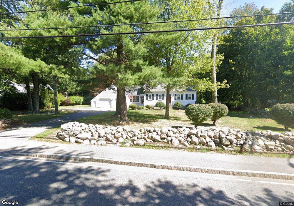
248 Country Way Scituate, MA 02066
Estimated Value: $1,062,000 - $1,486,000
3
Beds
4
Baths
1,932
Sq Ft
$632/Sq Ft
Est. Value
About This Home
This home is located at 248 Country Way, Scituate, MA 02066 and is currently estimated at $1,220,427, approximately $631 per square foot. 248 Country Way is a home located in Plymouth County with nearby schools including Cushing Elementary School, Lester J. Gates Middle School, and Scituate High School.
Ownership History
Date
Name
Owned For
Owner Type
Purchase Details
Closed on
Mar 14, 2025
Sold by
Donovan Dennis and Donovan Donna
Bought by
Donovan Ft and Donovan
Current Estimated Value
Purchase Details
Closed on
Jun 4, 2015
Sold by
Bruno Jeffrey C
Bought by
Jennifer M Bruno Ret and Bruno
Purchase Details
Closed on
Jul 30, 2004
Sold by
Mckean Katherine M and Mckean Robert C
Bought by
Bruno Jeffrey C and Bruno Jennifer
Purchase Details
Closed on
Jan 13, 2004
Sold by
Mckean Katherine M
Bought by
Mckean Katherine M and Mckean Robert C
Create a Home Valuation Report for This Property
The Home Valuation Report is an in-depth analysis detailing your home's value as well as a comparison with similar homes in the area
Home Values in the Area
Average Home Value in this Area
Purchase History
| Date | Buyer | Sale Price | Title Company |
|---|---|---|---|
| Donovan Ft | -- | None Available | |
| Jennifer M Bruno Ret | -- | -- | |
| Jennifer M Bruno Ret | -- | -- | |
| Jennifer M Bruno Ret | -- | -- | |
| Bruno Jeffrey C | $799,000 | -- | |
| Bruno Jeffrey C | $799,000 | -- | |
| Mckean Katherine M | -- | -- | |
| Mckean Katherine M | -- | -- |
Source: Public Records
Tax History Compared to Growth
Tax History
| Year | Tax Paid | Tax Assessment Tax Assessment Total Assessment is a certain percentage of the fair market value that is determined by local assessors to be the total taxable value of land and additions on the property. | Land | Improvement |
|---|---|---|---|---|
| 2025 | $10,490 | $1,050,100 | $738,000 | $312,100 |
| 2024 | $9,567 | $923,500 | $616,500 | $307,000 |
| 2023 | $9,050 | $813,100 | $527,500 | $285,600 |
| 2022 | $8,621 | $683,100 | $443,200 | $239,900 |
| 2021 | $8,457 | $634,400 | $422,100 | $212,300 |
| 2020 | $8,384 | $621,000 | $418,500 | $202,500 |
| 2019 | $9,160 | $666,700 | $447,600 | $219,100 |
| 2018 | $9,719 | $696,700 | $492,700 | $204,000 |
| 2017 | $9,698 | $688,300 | $492,700 | $195,600 |
| 2016 | $8,992 | $635,900 | $440,300 | $195,600 |
| 2015 | $8,330 | $635,900 | $440,300 | $195,600 |
Source: Public Records
Map
Nearby Homes
- 115 Elm St
- 111 Elm St
- 290 Beaver Dam Rd
- 18 James Way
- 13 Hornbeam Rd
- 116 Old Forge Rd
- 12 Sassamon Rd
- 74 Tilden Rd
- 76 A Brook St
- 76 A Brook St Unit 1
- 148 Tilden Rd
- 19 Ford Place Unit 3
- 19 Ford Place Unit 1
- 19 Ford Place Unit 4
- 17 Old Oaken Bucket Rd
- 14 Aberdeen Dr
- 22 Kings Way
- 50 First Parish Rd
- 54 Woodland Rd
- 49 Cornet Stetson Rd