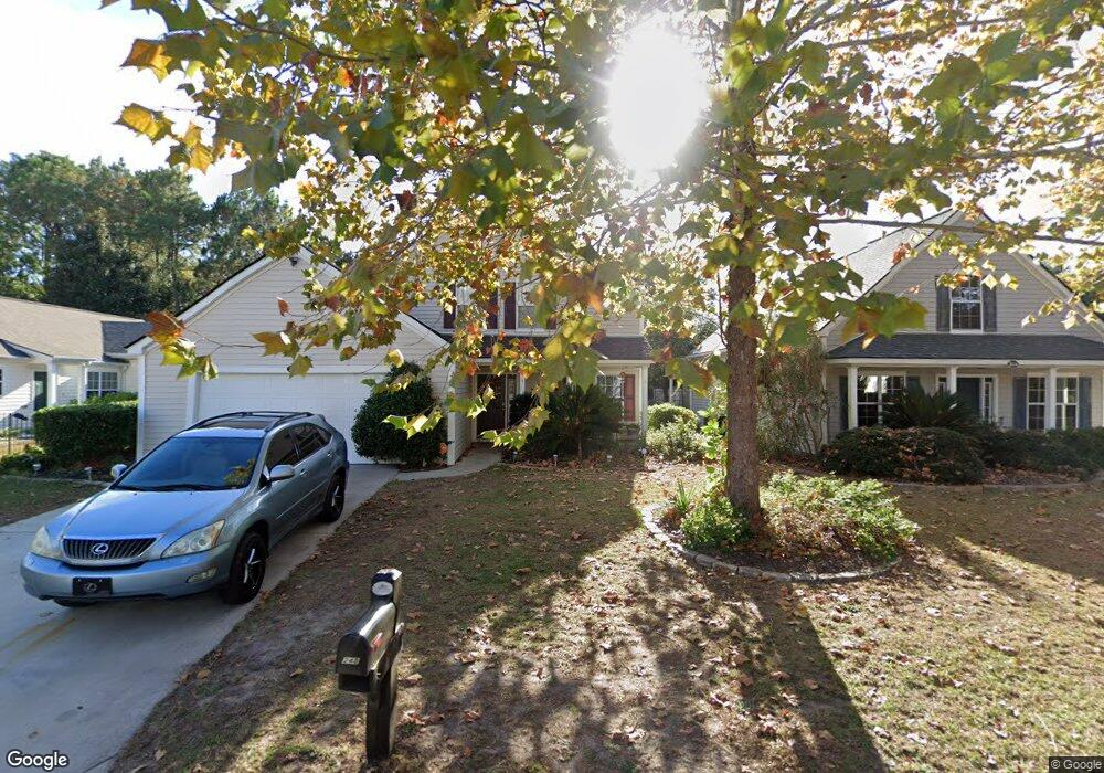
248 Flat Rock Trace Bluffton, SC 29910
Estimated Value: $313,000 - $368,000
4
Beds
2
Baths
1,704
Sq Ft
$205/Sq Ft
Est. Value
About This Home
This home is located at 248 Flat Rock Trace, Bluffton, SC 29910 and is currently estimated at $349,925, approximately $205 per square foot. 248 Flat Rock Trace is a home located in Beaufort County with nearby schools including River Ridge Academy, May River High School, and Cross Schools.
Ownership History
Date
Name
Owned For
Owner Type
Purchase Details
Closed on
Oct 10, 2007
Sold by
Carletto Oswald Real Estate Llc
Bought by
Youngblood Cecil G and Youngblood Dianne C
Current Estimated Value
Purchase Details
Closed on
Dec 30, 2004
Sold by
Oswald Robert M
Bought by
Carletto/Oswald Real Estate Llc
Purchase Details
Closed on
Jun 9, 2004
Sold by
D R Horton Inc
Bought by
Oswald Robert M
Home Financials for this Owner
Home Financials are based on the most recent Mortgage that was taken out on this home.
Original Mortgage
$124,576
Interest Rate
8.7%
Create a Home Valuation Report for This Property
The Home Valuation Report is an in-depth analysis detailing your home's value as well as a comparison with similar homes in the area
Purchase History
| Date | Buyer | Sale Price | Title Company |
|---|---|---|---|
| Youngblood Cecil G | $160,000 | None Available | |
| Carletto/Oswald Real Estate Llc | -- | -- | |
| Oswald Robert M | $155,720 | -- |
Source: Public Records
Mortgage History
| Date | Status | Borrower | Loan Amount |
|---|---|---|---|
| Previous Owner | Oswald Robert M | $124,576 |
Source: Public Records
Tax History
| Year | Tax Paid | Tax Assessment Tax Assessment Total Assessment is a certain percentage of the fair market value that is determined by local assessors to be the total taxable value of land and additions on the property. | Land | Improvement |
|---|---|---|---|---|
| 2024 | $2,323 | $8,970 | $0 | $0 |
| 2023 | $2,285 | $8,970 | $0 | $0 |
| 2022 | $2,080 | $7,800 | $0 | $0 |
| 2021 | $1,938 | $7,800 | $0 | $0 |
| 2020 | $1,974 | $7,800 | $0 | $0 |
| 2019 | $1,946 | $7,800 | $0 | $0 |
| 2018 | $1,839 | $7,800 | $0 | $0 |
| 2017 | $1,676 | $6,780 | $0 | $0 |
| 2016 | $1,648 | $6,780 | $0 | $0 |
| 2014 | $1,818 | $6,780 | $0 | $0 |
Source: Public Records
Map
Nearby Homes
- 306 Cold Creek Pass
- 19 Heartstone Cir
- 128 Stoney Crossing
- 20 Grande Oaks Dr
- 493 Live Oak Walk
- 7 W Morningside Dr
- 510 Cypress Cove
- 474 Live Oak Walk
- 5 Woodland Ct
- 214 Stoney Crossing
- 79 Fording Ct
- 2 Long Lake Dr
- 229 Stoney Crossing
- 52 Fording Ct
- 10 Anchor Bay Ct
- 21 Braemar Ct
- 18 Anchor Bay Ct
- 202 Fording Trace
- 16 Braemar Ct
- 4 Shelburne St
- 250 Flat Rock Trace
- 246 Flat Rock Trace
- 252 Flat Rock Trace
- 244 Flat Rock Trace
- 235 Flat Rock Trace
- 233 Flat Rock Trace
- 4 Maypop Ct
- 254 Flat Rock Trace
- 8 Maypop Ct
- 240 Flat Rock Trace
- 231 Flat Rock Trace
- 247 Flat Rock Trace
- 253 Flat Rock Trace
- 238 Flat Rock Trace
- 2 Maypop Ct
- 236 Flat Rock Trace
- 229 Flat Rock Trace
- 251 Flat Rock Trace
- 249 Flat Rock Trace
- 10 Maypop Ct
Your Personal Tour Guide
Ask me questions while you tour the home.