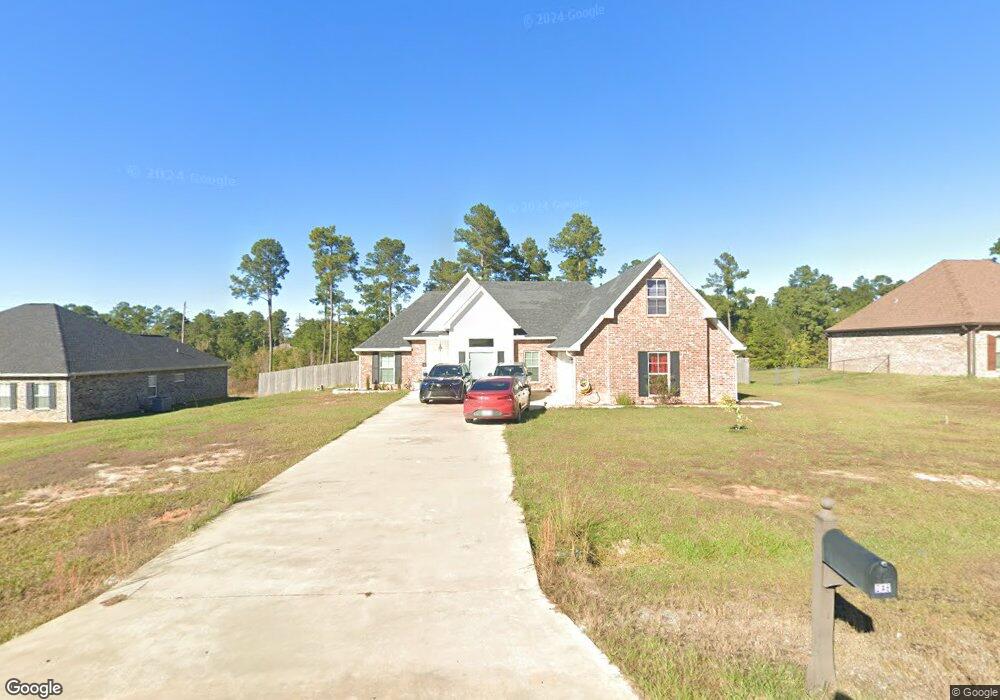
248 Kas Rd Leesville, LA 71446
Estimated Value: $298,000 - $335,000
4
Beds
2
Baths
2,652
Sq Ft
$121/Sq Ft
Est. Value
About This Home
This home is located at 248 Kas Rd, Leesville, LA 71446 and is currently estimated at $320,868, approximately $120 per square foot. 248 Kas Rd is a home located in Vernon Parish.
Ownership History
Date
Name
Owned For
Owner Type
Purchase Details
Closed on
May 19, 2023
Sold by
Deterding Stephen Luke
Bought by
Lopez Raymond and Lopez Veronica
Current Estimated Value
Purchase Details
Closed on
May 10, 2021
Sold by
Batista Nicolas and Batista Rosanna
Bought by
Deterding Stephen L and Deterding Randi L
Home Financials for this Owner
Home Financials are based on the most recent Mortgage that was taken out on this home.
Original Mortgage
$253,820
Interest Rate
3.1%
Mortgage Type
FHA
Purchase Details
Closed on
Oct 31, 2018
Sold by
Pierre Donavon Alexis and Pierre Nadine Quittek
Bought by
Batista Nicolas A and Batista Rosanna
Home Financials for this Owner
Home Financials are based on the most recent Mortgage that was taken out on this home.
Original Mortgage
$227,000
Interest Rate
4.7%
Mortgage Type
VA
Create a Home Valuation Report for This Property
The Home Valuation Report is an in-depth analysis detailing your home's value as well as a comparison with similar homes in the area
Purchase History
| Date | Buyer | Sale Price | Title Company |
|---|---|---|---|
| Lopez Raymond | $284,900 | None Listed On Document | |
| Deterding Stephen L | $245,000 | None Available | |
| Batista Nicolas A | $227,000 | None Available |
Source: Public Records
Mortgage History
| Date | Status | Borrower | Loan Amount |
|---|---|---|---|
| Previous Owner | Deterding Stephen L | $253,820 | |
| Previous Owner | Batista Nicolas A | $227,000 |
Source: Public Records
Tax History
| Year | Tax Paid | Tax Assessment Tax Assessment Total Assessment is a certain percentage of the fair market value that is determined by local assessors to be the total taxable value of land and additions on the property. | Land | Improvement |
|---|---|---|---|---|
| 2025 | $3,315 | $29,150 | $2,100 | $27,050 |
| 2024 | $3,344 | $29,150 | $2,100 | $27,050 |
| 2023 | $3,157 | $27,630 | $2,100 | $25,530 |
| 2022 | $2,642 | $23,520 | $2,100 | $21,420 |
| 2021 | $2,815 | $23,520 | $2,100 | $21,420 |
| 2020 | $2,700 | $21,800 | $2,100 | $19,700 |
| 2019 | $2,777 | $21,800 | $2,100 | $19,700 |
| 2018 | $2,766 | $21,800 | $2,100 | $19,700 |
| 2017 | $2,769 | $21,800 | $2,100 | $19,700 |
Source: Public Records
Map
Nearby Homes
- 149 Methodist Landing Rd
- 0 Lot 7 Woodland Park Phase III Unit 29-1652
- 0 Hwy 8 & 464 Hwy Unit SWL22004749
- 0 Woods Rd Unit RD
- 0 Tbd Hwy 8 & 464 Unit 29-1650
- 588 Hickory Ridge Rd
- 0 Archie Wilbert Rd
- 0 Empire Point Rd
- 579 Lake Vernon Rd
- TBD Driftwood Dr
- 0 Tbd Driftwood Dr
- 707 W Hawthorne Rd
- 148 Brentwood Dr
- 617 W Hawthorne Rd
- 708 Woodland Dr
- 0 Lotus Ln
- 0 Unit Lots 8, 9 & 10
- 0 Tbd West Hawthorne Rd Unit RD
- 0 Nolan Trace
- 102 Hidden Trail
Your Personal Tour Guide
Ask me questions while you tour the home.