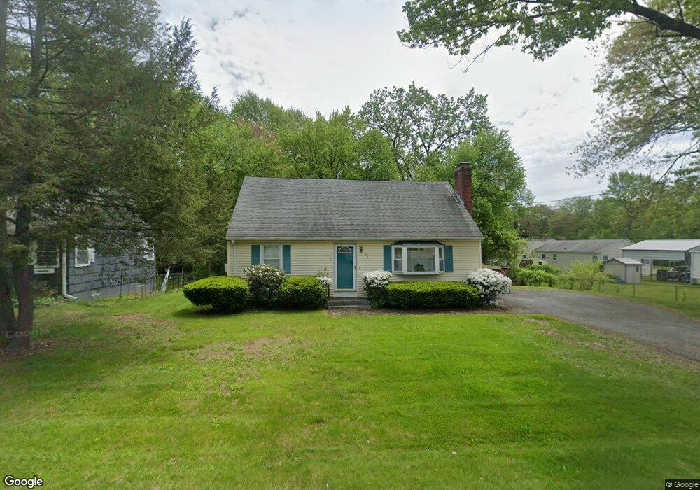
248 Lancaster Ave West Springfield, MA 01089
Estimated Value: $350,000 - $386,000
5
Beds
2
Baths
1,730
Sq Ft
$208/Sq Ft
Est. Value
About This Home
This home is located at 248 Lancaster Ave, West Springfield, MA 01089 and is currently estimated at $359,925, approximately $208 per square foot. 248 Lancaster Ave is a home located in Hampden County with nearby schools including West Springfield High School and St Thomas The Apostle School.
Ownership History
Date
Name
Owned For
Owner Type
Purchase Details
Closed on
Jun 25, 2010
Sold by
Jenkins Brett E and Jenkins Laura L
Bought by
Ekmalian Kristen J
Current Estimated Value
Home Financials for this Owner
Home Financials are based on the most recent Mortgage that was taken out on this home.
Original Mortgage
$201,400
Outstanding Balance
$135,561
Interest Rate
4.98%
Mortgage Type
Purchase Money Mortgage
Estimated Equity
$224,364
Purchase Details
Closed on
Jul 10, 1998
Sold by
Hurlbut Terence J and Hurlbut Elaine M
Bought by
Jenkins Brett E and Jenkins Laura L
Home Financials for this Owner
Home Financials are based on the most recent Mortgage that was taken out on this home.
Original Mortgage
$117,800
Interest Rate
7.02%
Mortgage Type
Purchase Money Mortgage
Create a Home Valuation Report for This Property
The Home Valuation Report is an in-depth analysis detailing your home's value as well as a comparison with similar homes in the area
Home Values in the Area
Average Home Value in this Area
Purchase History
| Date | Buyer | Sale Price | Title Company |
|---|---|---|---|
| Ekmalian Kristen J | $212,000 | -- | |
| Jenkins Brett E | $124,000 | -- |
Source: Public Records
Mortgage History
| Date | Status | Borrower | Loan Amount |
|---|---|---|---|
| Open | Ekmalian Kristen J | $201,400 | |
| Previous Owner | Jenkins Brett E | $117,800 | |
| Previous Owner | Jenkins Brett E | $59,000 |
Source: Public Records
Tax History
| Year | Tax Paid | Tax Assessment Tax Assessment Total Assessment is a certain percentage of the fair market value that is determined by local assessors to be the total taxable value of land and additions on the property. | Land | Improvement |
|---|---|---|---|---|
| 2025 | $4,202 | $282,600 | $113,900 | $168,700 |
| 2024 | $4,205 | $283,900 | $113,900 | $170,000 |
| 2023 | $3,932 | $253,000 | $113,900 | $139,100 |
| 2022 | $3,596 | $228,200 | $103,300 | $124,900 |
| 2021 | $3,461 | $204,800 | $97,600 | $107,200 |
| 2020 | $3,468 | $204,100 | $97,600 | $106,500 |
| 2019 | $3,462 | $204,100 | $97,600 | $106,500 |
| 2018 | $3,480 | $204,100 | $97,600 | $106,500 |
| 2017 | $3,480 | $204,100 | $97,600 | $106,500 |
| 2016 | $3,464 | $203,900 | $93,800 | $110,100 |
| 2015 | $3,396 | $199,900 | $91,900 | $108,000 |
| 2014 | $824 | $199,900 | $91,900 | $108,000 |
Source: Public Records
Map
Nearby Homes
- 254 Lancaster Ave
- 126 Verdugo St
- 116 Verdugo St
- 245 Lancaster Ave
- 253 Lancaster Ave
- 140 Verdugo St
- 56 Virginia Ave
- 100 Verdugo St
- 43 Virginia Ave
- 129 Verdugo St
- 265 Lancaster Ave
- 115 Verdugo St
- 91 Virginia Ave
- 152 Verdugo St
- 216 Lancaster Ave
- 274 Lancaster Ave
- 94 Verdugo St
- 103 Verdugo St
- 143 Verdugo St
- 33 Virginia Ave
Your Personal Tour Guide
Ask me questions while you tour the home.