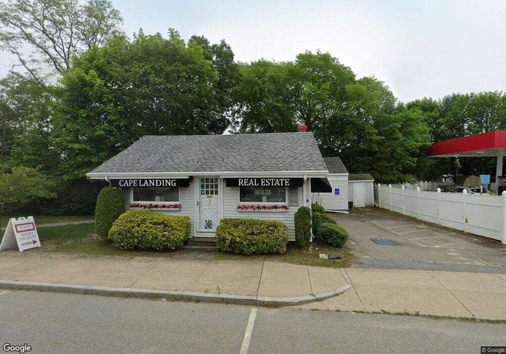
248 Main St Bourne, MA 2532
Buzzards Bay NeighborhoodEstimated Value: $458,408
--
Bed
--
Bath
2,135
Sq Ft
$215/Sq Ft
Est. Value
About This Home
This home is located at 248 Main St, Bourne, MA 2532 and is currently estimated at $458,408, approximately $214 per square foot. 248 Main St is a home located in Barnstable County with nearby schools including Bourne High School and St Margaret Regional School.
Ownership History
Date
Name
Owned For
Owner Type
Purchase Details
Closed on
Jan 12, 2007
Sold by
Garland-Anderegg Frances
Bought by
Bourne Lending Llc
Current Estimated Value
Purchase Details
Closed on
Aug 10, 1999
Sold by
Prospect Rt and Lincoln
Bought by
Anderegg Frances G
Home Financials for this Owner
Home Financials are based on the most recent Mortgage that was taken out on this home.
Original Mortgage
$80,000
Interest Rate
7.54%
Mortgage Type
Commercial
Create a Home Valuation Report for This Property
The Home Valuation Report is an in-depth analysis detailing your home's value as well as a comparison with similar homes in the area
Home Values in the Area
Average Home Value in this Area
Purchase History
| Date | Buyer | Sale Price | Title Company |
|---|---|---|---|
| Bourne Lending Llc | -- | -- | |
| Bourne Lending Llc | -- | -- | |
| Anderegg Frances G | $100,000 | -- | |
| Anderegg Frances G | $100,000 | -- |
Source: Public Records
Mortgage History
| Date | Status | Borrower | Loan Amount |
|---|---|---|---|
| Previous Owner | Anderegg Frances G | $80,000 |
Source: Public Records
Tax History Compared to Growth
Tax History
| Year | Tax Paid | Tax Assessment Tax Assessment Total Assessment is a certain percentage of the fair market value that is determined by local assessors to be the total taxable value of land and additions on the property. | Land | Improvement |
|---|---|---|---|---|
| 2025 | $2,714 | $347,500 | $238,200 | $109,300 |
| 2024 | $2,655 | $331,000 | $226,900 | $104,100 |
| 2023 | $2,803 | $318,200 | $218,200 | $100,000 |
| 2022 | $2,963 | $293,700 | $205,100 | $88,600 |
| 2021 | $3,067 | $284,800 | $199,100 | $85,700 |
| 2020 | $3,007 | $280,000 | $195,300 | $84,700 |
| 2019 | $2,871 | $273,200 | $191,400 | $81,800 |
| 2018 | $2,761 | $262,000 | $184,000 | $78,000 |
| 2017 | $2,559 | $248,400 | $171,500 | $76,900 |
| 2016 | $2,524 | $248,400 | $171,500 | $76,900 |
Source: Public Records
Map
Nearby Homes
- 304 Main St
- 38 Old Bridge Rd
- 17 Maple St
- 46 Holt Rd
- 46 Holt Rd Unit A
- 151 - 153 Main St
- 162 Puritan Rd
- 171 Puritan Rd
- 60 Sandwich Rd
- 90-92 Sandwich Rd Unit 9C
- 90-92 Sandwich Rd Unit 2
- 41 Lewis Point Rd
- 4 Knob Ln
- 34 Washington Ave
- 44 Cotuit Rd
- 0 Lewis Point Rd
- 65 Lewis Point Rd
- 3 Wolf Rd
- 73 Lewis Point Rd
- 56 Rip Van Winkle Way