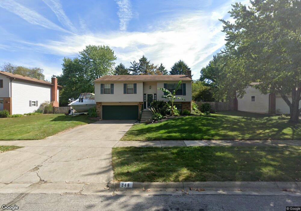
248 Matthew Ave Westerville, OH 43081
Estimated Value: $342,000 - $364,664
3
Beds
1
Bath
1,488
Sq Ft
$237/Sq Ft
Est. Value
About This Home
This home is located at 248 Matthew Ave, Westerville, OH 43081 and is currently estimated at $352,166, approximately $236 per square foot. 248 Matthew Ave is a home located in Franklin County with nearby schools including Robert Frost Elementary School, Heritage Middle School, and Westerville-North High School.
Ownership History
Date
Name
Owned For
Owner Type
Purchase Details
Closed on
Apr 25, 2001
Sold by
Barlow Joseph P and Barlow Jodell A
Bought by
Spiert David L and Spiert Chasity D
Current Estimated Value
Home Financials for this Owner
Home Financials are based on the most recent Mortgage that was taken out on this home.
Original Mortgage
$131,950
Outstanding Balance
$49,270
Interest Rate
7.03%
Mortgage Type
FHA
Estimated Equity
$302,896
Purchase Details
Closed on
Apr 27, 1993
Bought by
Barlow Joseph P
Purchase Details
Closed on
Jul 17, 1991
Purchase Details
Closed on
Mar 1, 1987
Create a Home Valuation Report for This Property
The Home Valuation Report is an in-depth analysis detailing your home's value as well as a comparison with similar homes in the area
Home Values in the Area
Average Home Value in this Area
Purchase History
| Date | Buyer | Sale Price | Title Company |
|---|---|---|---|
| Spiert David L | $145,000 | Chicago Title | |
| Barlow Joseph P | $91,200 | -- | |
| -- | $87,600 | -- | |
| -- | $74,900 | -- |
Source: Public Records
Mortgage History
| Date | Status | Borrower | Loan Amount |
|---|---|---|---|
| Open | Spiert David L | $131,950 |
Source: Public Records
Tax History Compared to Growth
Tax History
| Year | Tax Paid | Tax Assessment Tax Assessment Total Assessment is a certain percentage of the fair market value that is determined by local assessors to be the total taxable value of land and additions on the property. | Land | Improvement |
|---|---|---|---|---|
| 2024 | $5,359 | $104,090 | $29,750 | $74,340 |
| 2023 | $5,280 | $104,090 | $29,750 | $74,340 |
| 2022 | $4,292 | $67,660 | $17,150 | $50,510 |
| 2021 | $4,328 | $67,660 | $17,150 | $50,510 |
| 2020 | $4,316 | $67,660 | $17,150 | $50,510 |
| 2019 | $3,512 | $54,010 | $17,150 | $36,860 |
| 2018 | $3,781 | $54,010 | $17,150 | $36,860 |
| 2017 | $3,506 | $54,010 | $17,150 | $36,860 |
| 2016 | $4,198 | $49,460 | $17,710 | $31,750 |
| 2015 | $4,068 | $49,460 | $17,710 | $31,750 |
| 2014 | $4,019 | $49,460 | $17,710 | $31,750 |
| 2013 | $1,911 | $47,110 | $16,870 | $30,240 |
Source: Public Records
Map
Nearby Homes
- 200 Matthew Ave
- 150 Matthew Ave
- 589 E College Ave
- 547 County Line Rd
- 368 E College Ave
- 364 E College Ave
- 768 Collingwood Dr
- 718 Sugar Ct
- 192 Buckeye Ct
- 417 E Park St
- 182 Hillcrest Dr
- 912 Lakeway Ct E
- 974 Lakeland Dr
- 199 E College Ave
- 360 Potawatomi Dr
- 267 Windemere Place
- 348 Buck Run Trail
- 223 Dogwood Ln
- 371 Delaware Dr
- 656 Olde Mill Dr
- 240 Matthew Ave
- 256 Matthew Ave
- 153 Murnane St
- 147 Murnane St
- 161 Murnane St
- 232 Matthew Ave
- 264 Matthew Ave
- 586 Susan Ave
- 139 Murnane St
- 169 Murnane St
- 255 Matthew Ave
- 224 Matthew Ave
- 578 Susan Ave
- 227 Matthew Ave
- 263 Matthew Ave
- 121 Murnane St
- 152 Murnane St
- 577 Susan Ave
- 604 Wren Ave
- 160 Murnane St