248 Millerton Rd Sharon, CT 06069
Estimated Value: $2,386,000 - $2,858,146
3
Beds
5
Baths
4,171
Sq Ft
$616/Sq Ft
Est. Value
About This Home
This home is located at 248 Millerton Rd, Sharon, CT 06069 and is currently estimated at $2,567,382, approximately $615 per square foot. 248 Millerton Rd is a home located in Litchfield County with nearby schools including Housatonic Valley Regional High School.
Ownership History
Date
Name
Owned For
Owner Type
Purchase Details
Closed on
Oct 3, 2022
Sold by
Hirschel Paula
Bought by
Phillips Hathaway T
Current Estimated Value
Home Financials for this Owner
Home Financials are based on the most recent Mortgage that was taken out on this home.
Original Mortgage
$1,600,000
Outstanding Balance
$1,519,765
Interest Rate
4.38%
Mortgage Type
Purchase Money Mortgage
Estimated Equity
$1,047,617
Create a Home Valuation Report for This Property
The Home Valuation Report is an in-depth analysis detailing your home's value as well as a comparison with similar homes in the area
Home Values in the Area
Average Home Value in this Area
Purchase History
| Date | Buyer | Sale Price | Title Company |
|---|---|---|---|
| Phillips Hathaway T | $2,350,000 | None Available | |
| Phillips Hathaway T | $2,350,000 | None Available |
Source: Public Records
Mortgage History
| Date | Status | Borrower | Loan Amount |
|---|---|---|---|
| Open | Phillips Hathaway T | $1,600,000 | |
| Closed | Phillips Hathaway T | $1,600,000 |
Source: Public Records
Tax History Compared to Growth
Tax History
| Year | Tax Paid | Tax Assessment Tax Assessment Total Assessment is a certain percentage of the fair market value that is determined by local assessors to be the total taxable value of land and additions on the property. | Land | Improvement |
|---|---|---|---|---|
| 2025 | $17,668 | $1,584,600 | $389,900 | $1,194,700 |
| 2024 | $16,718 | $1,584,600 | $389,900 | $1,194,700 |
| 2023 | $10,557 | $733,100 | $169,900 | $563,200 |
| 2022 | $10,387 | $721,300 | $169,900 | $551,400 |
| 2021 | $10,459 | $721,300 | $169,900 | $551,400 |
| 2020 | $10,315 | $716,300 | $169,900 | $546,400 |
| 2019 | $10,315 | $716,300 | $169,900 | $546,400 |
| 2018 | $10,672 | $726,000 | $197,400 | $528,600 |
| 2017 | $10,672 | $726,000 | $197,400 | $528,600 |
| 2016 | $10,454 | $726,000 | $197,400 | $528,600 |
| 2015 | $9,946 | $726,000 | $197,400 | $528,600 |
| 2014 | $9,620 | $726,000 | $197,400 | $528,600 |
Source: Public Records
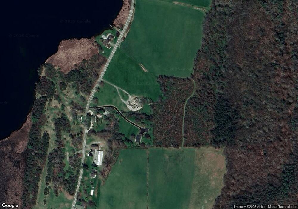
Map
Nearby Homes
- Lot 18 Lakeside Dr
- 0 Lakeside Dr
- 147 Lake Ln
- 151 Lake Ln
- 5 Red Cedar Ln
- 8 Mudgetown Rd
- 6 Juniper Ledge Ln
- 42 Bartram Rd
- 11 Valley Rd
- 40 Valley Rd
- 17 Rhynus Rd
- 400 Gay St
- 79 Hilltop Rd
- 39 Hospital Hill Rd
- 351 Gay St
- 4 Upper Main St Unit 3
- 11 Williams Rd
- 138 Amenia Rd
- 12-19 Goose Pond Ln
- 0 Cornwall Bridge Rd Unit 170559925
- 248 Millerton Rd
- 246 Millerton Rd
- 242 Millerton Rd
- 255 Millerton Rd
- 247 Millerton Rd
- 269 Millerton Rd
- 232 Millerton Rd
- 271 Millerton Rd
- 224 Millerton Rd
- 229 Millerton Rd
- 281 Millerton Rd
- 220 Millerton Rd
- 281&284 Millerton Rd
- 284 Millerton Rd
- 295 Millerton Rd
- 000 Millerton Rd
- 93 Barney Dr
- 90 Barney Dr
- 94 Barney Dr
- 301 Millerton Rd