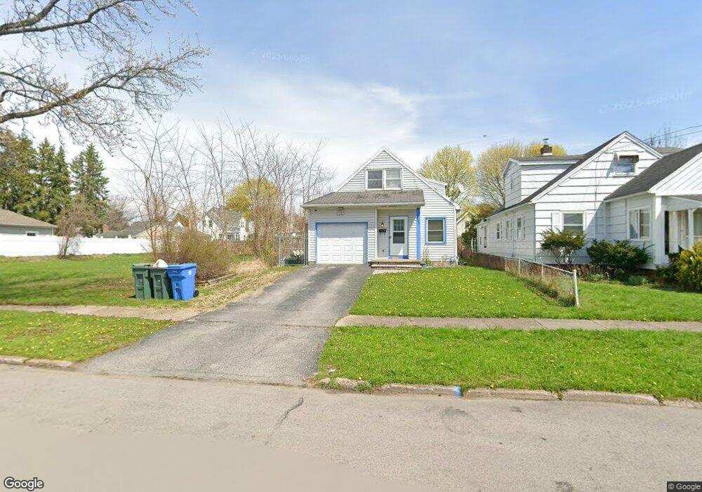
248 Moulson St Rochester, NY 14621
Northeast Rochester NeighborhoodEstimated Value: $151,000 - $177,000
3
Beds
2
Baths
1,775
Sq Ft
$92/Sq Ft
Est. Value
About This Home
This home is located at 248 Moulson St, Rochester, NY 14621 and is currently estimated at $164,185, approximately $92 per square foot. 248 Moulson St is a home located in Monroe County with nearby schools including School 50-Helen Barrett Montgomery, School 9-DR Martin Luther King Jr, and Mary McLeod Bethune School No. 45.
Ownership History
Date
Name
Owned For
Owner Type
Purchase Details
Closed on
Dec 17, 2015
Sold by
Ruiz Christine M
Bought by
Figueroa Ivette
Current Estimated Value
Home Financials for this Owner
Home Financials are based on the most recent Mortgage that was taken out on this home.
Original Mortgage
$12,400
Outstanding Balance
$5,072
Interest Rate
5.5%
Mortgage Type
Adjustable Rate Mortgage/ARM
Estimated Equity
$159,113
Purchase Details
Closed on
May 16, 1996
Sold by
Klingler Paul J
Bought by
Capone Tricia
Create a Home Valuation Report for This Property
The Home Valuation Report is an in-depth analysis detailing your home's value as well as a comparison with similar homes in the area
Home Values in the Area
Average Home Value in this Area
Purchase History
| Date | Buyer | Sale Price | Title Company |
|---|---|---|---|
| Figueroa Ivette | $68,000 | None Available | |
| Capone Tricia | $60,500 | -- |
Source: Public Records
Mortgage History
| Date | Status | Borrower | Loan Amount |
|---|---|---|---|
| Open | Figueroa Ivette | $12,400 | |
| Open | Figueroa Ivette | $57,600 |
Source: Public Records
Tax History
| Year | Tax Paid | Tax Assessment Tax Assessment Total Assessment is a certain percentage of the fair market value that is determined by local assessors to be the total taxable value of land and additions on the property. | Land | Improvement |
|---|---|---|---|---|
| 2025 | $1,218 | $124,700 | $9,200 | $115,500 |
| 2024 | $1,218 | $124,700 | $9,200 | $115,500 |
| 2023 | $970 | $67,600 | $3,900 | $63,700 |
| 2022 | $1,014 | $67,600 | $3,900 | $63,700 |
| 2021 | $1,025 | $67,600 | $3,900 | $63,700 |
| 2020 | $906 | $67,600 | $3,900 | $63,700 |
| 2019 | $933 | $59,000 | $3,900 | $55,100 |
| 2018 | $2,027 | $59,000 | $3,900 | $55,100 |
| 2017 | $0 | $59,000 | $3,900 | $55,100 |
| 2016 | $933 | $59,000 | $3,900 | $55,100 |
| 2015 | $1,961 | $59,000 | $3,900 | $55,100 |
| 2014 | $1,961 | $59,000 | $3,900 | $55,100 |
Source: Public Records
Map
Nearby Homes
- 34 Zygment St
- 759-761 Norton St
- 110 Saint Casimir St
- 111 van Stallen St Unit 113
- 190 Weaver St
- 131 Weaver St
- 365 Weaver St
- 56 Northlane Dr
- 61 Weaver St Unit 63
- 94 Kosciusko St
- 82 Fairbanks St
- 74 Dayton St Unit 76
- 17 Joseph Place
- 95 Cleon St
- 767 Carter St
- 2 Oscar St
- 63 Manchester St
- 113 Dayton St Unit 115
- 749 Avenue D
- 807 Avenue D
Your Personal Tour Guide
Ask me questions while you tour the home.