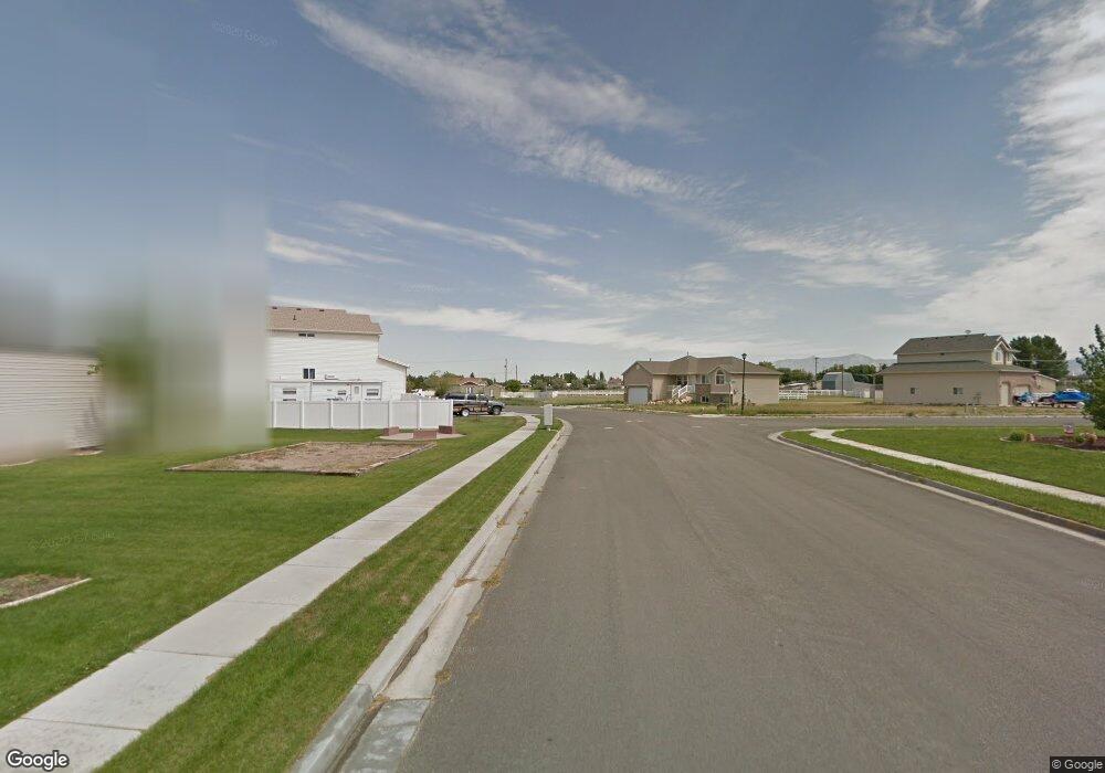
248 N 4600 W West Point, UT 84015
Estimated Value: $577,000 - $643,302
6
Beds
3
Baths
3,014
Sq Ft
$198/Sq Ft
Est. Value
About This Home
This home is located at 248 N 4600 W, West Point, UT 84015 and is currently estimated at $595,326, approximately $197 per square foot. 248 N 4600 W is a home located in Davis County with nearby schools including West Point School, West Point Junior High School, and Syracuse High School.
Ownership History
Date
Name
Owned For
Owner Type
Purchase Details
Closed on
Feb 14, 2020
Sold by
Grimaud Cody R and Grimaud Amanda R
Bought by
Davis Michael A and Davis Halley
Current Estimated Value
Home Financials for this Owner
Home Financials are based on the most recent Mortgage that was taken out on this home.
Original Mortgage
$277,600
Outstanding Balance
$245,836
Interest Rate
3.72%
Mortgage Type
New Conventional
Estimated Equity
$349,490
Purchase Details
Closed on
Oct 3, 2012
Sold by
Federal National Mortgage Association
Bought by
Grimaud Cody R and Grimaud Amanda R
Purchase Details
Closed on
Jul 29, 2012
Sold by
Mccowen Lana A
Bought by
Federal National Mortgage Association
Create a Home Valuation Report for This Property
The Home Valuation Report is an in-depth analysis detailing your home's value as well as a comparison with similar homes in the area
Home Values in the Area
Average Home Value in this Area
Purchase History
| Date | Buyer | Sale Price | Title Company |
|---|---|---|---|
| Davis Michael A | -- | Mountain View Title | |
| Grimaud Cody R | -- | Orange Title Ins Age | |
| Federal National Mortgage Association | -- | Orange Title Ins Age |
Source: Public Records
Mortgage History
| Date | Status | Borrower | Loan Amount |
|---|---|---|---|
| Open | Davis Michael A | $277,600 |
Source: Public Records
Tax History Compared to Growth
Tax History
| Year | Tax Paid | Tax Assessment Tax Assessment Total Assessment is a certain percentage of the fair market value that is determined by local assessors to be the total taxable value of land and additions on the property. | Land | Improvement |
|---|---|---|---|---|
| 2025 | $3,550 | $326,700 | $124,400 | $202,300 |
| 2024 | $3,404 | $314,600 | $111,902 | $202,698 |
| 2023 | $3,143 | $534,000 | $145,288 | $388,712 |
| 2022 | $3,428 | $319,000 | $77,244 | $241,756 |
| 2021 | $3,163 | $440,000 | $114,322 | $325,678 |
| 2020 | $2,752 | $377,000 | $97,177 | $279,823 |
| 2019 | $2,660 | $359,000 | $93,940 | $265,060 |
| 2018 | $2,363 | $314,000 | $91,473 | $222,527 |
| 2016 | $1,863 | $129,855 | $35,500 | $94,355 |
| 2015 | $1,865 | $123,200 | $35,500 | $87,700 |
Source: Public Records
Map
Nearby Homes
- 4594 W 75 N Unit 405
- 128 N 4500 W
- 4669 W 75 N
- 477 N 4500 W
- 4352 W 300 N
- 4366 W 200 N
- 4325 W 75 N
- 120 N 4325 W
- 4362 West St Unit 106
- 4358 West St Unit 105
- 4719 W 650 N
- 357 N 4000 W
- 356 S 4300 W Unit 611
- 3949 W 250 N
- 364 S 4300 W Unit 610
- Charleston Plan at Bluff View
- 114 3830 W
- 3851 W 50 S Unit 425
- 3849 W 50 S Unit 426
- 3847 W 50 S Unit 428
- 248 N Jean Dr Unit 212
- 4552 Jean Cir Unit 213
- 4552 Jean Cir
- 4552 W 200 N
- 4610 W 250 N Unit 2
- 4616 W 250 N
- 223 N 4600 W
- 4555 W 300 N
- 4609 W 300 N
- 4579 W 200 N Unit 217
- 4563 Jean Cir Unit 216
- 4563 Jean Cir
- 4610 Sage Dr Unit 233
- 4635 Jean Dr Unit 231
- 4544 W 200 N Unit 214
- 4544 W 200 N
- 4563 W 200 N
- 4638 W 250 N
- 4638 Jean Dr Unit 211
- 4683 Sage Dr Unit 221