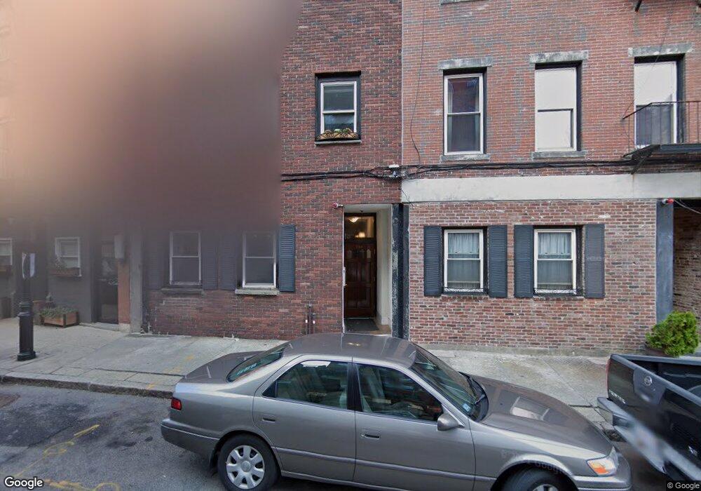
248 North St Unit 254 Boston, MA 02113
North End NeighborhoodEstimated Value: $650,000 - $700,000
2
Beds
1
Bath
670
Sq Ft
$1,021/Sq Ft
Est. Value
About This Home
This home is located at 248 North St Unit 254, Boston, MA 02113 and is currently estimated at $684,395, approximately $1,021 per square foot. 248 North St Unit 254 is a home located in Suffolk County with nearby schools including Boston Children's School, Torit Montessori School, and St John School.
Ownership History
Date
Name
Owned For
Owner Type
Purchase Details
Closed on
Mar 21, 2020
Sold by
White Ayla E and Rosen Ynne M
Bought by
Flanary Kathleen
Current Estimated Value
Home Financials for this Owner
Home Financials are based on the most recent Mortgage that was taken out on this home.
Original Mortgage
$64,000
Interest Rate
3.2%
Mortgage Type
Balloon
Create a Home Valuation Report for This Property
The Home Valuation Report is an in-depth analysis detailing your home's value as well as a comparison with similar homes in the area
Home Values in the Area
Average Home Value in this Area
Purchase History
| Date | Buyer | Sale Price | Title Company |
|---|---|---|---|
| Flanary Kathleen | $640,000 | None Available |
Source: Public Records
Mortgage History
| Date | Status | Borrower | Loan Amount |
|---|---|---|---|
| Open | Flanary Kathleen | $563,000 | |
| Closed | Flanary Kathleen | $64,000 | |
| Closed | Flanary Kathleen | $512,000 | |
| Previous Owner | Rosen Ayla E | $400,000 | |
| Previous Owner | Rosen Ayla E | $404,000 |
Source: Public Records
Tax History Compared to Growth
Tax History
| Year | Tax Paid | Tax Assessment Tax Assessment Total Assessment is a certain percentage of the fair market value that is determined by local assessors to be the total taxable value of land and additions on the property. | Land | Improvement |
|---|---|---|---|---|
| 2025 | $6,455 | $557,400 | $0 | $557,400 |
| 2024 | $5,991 | $549,600 | $0 | $549,600 |
| 2023 | $5,841 | $543,900 | $0 | $543,900 |
| 2022 | $5,689 | $522,900 | $0 | $522,900 |
| 2021 | $5,579 | $522,900 | $0 | $522,900 |
| 2020 | $5,626 | $532,800 | $0 | $532,800 |
| 2019 | $5,199 | $493,300 | $0 | $493,300 |
| 2018 | $4,924 | $469,800 | $0 | $469,800 |
| 2017 | $4,828 | $455,900 | $0 | $455,900 |
| 2016 | $4,209 | $382,600 | $0 | $382,600 |
| 2015 | $4,401 | $363,400 | $0 | $363,400 |
| 2014 | $4,111 | $326,800 | $0 | $326,800 |
Source: Public Records
Map
Nearby Homes
- 290 North St Unit 4
- 243 North St Unit 5
- 130 Fulton St Unit 15
- 122-130 Fulton Unit 13
- 63 Atlantic Ave Unit 7E
- 120 Fulton St Unit DE
- 300 Commercial St Unit 709
- 28 Atlantic Ave Unit 527-627
- 28 Atlantic Ave Unit 638
- 342-344 North St Unit 1A
- 34 Clark St Unit 7
- 158 Commercial St Unit 5
- 328 Commercial St Unit 52
- 0 Fairfield Unit 71812438
- 343 Commercial St Unit 212
- 14 N Bennet St Unit 1
- 14 N Bennet St Unit 2
- 19 Salutation St Unit 52
- 357 Commercial St Unit 17
- 33 Commercial Wharf Unit 33A
- 248 North St Unit 254
- 248 North St Unit 254
- 248 North St Unit 254
- 248 North St Unit 254
- 248 North St Unit 254
- 248 North St Unit 254
- 248 North St Unit 254
- 248 North St Unit 254
- 248 North St Unit 254
- 248 North St Unit 4
- 258 North St Unit 5
- 258 North St Unit 4
- 258 North St Unit 3
- 258 North St Unit 2
- 258 North St Unit North St
- 258 North St Unit 2,258
- 258 North St Unit 258
- 260 North St Unit Room
- 250 North St Unit 4
- 250 North St Unit 1