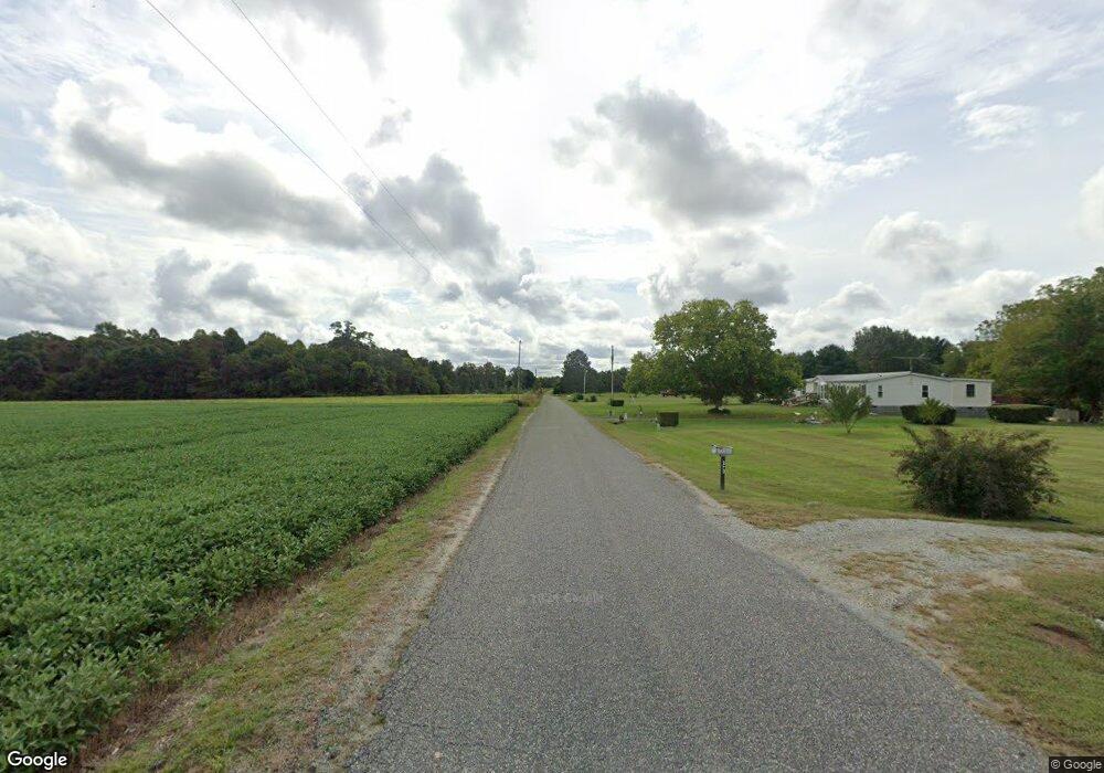
248 Oakland Rd Tappahannock, VA 22560
Estimated Value: $359,978 - $415,000
3
Beds
2
Baths
2,337
Sq Ft
$165/Sq Ft
Est. Value
About This Home
This home is located at 248 Oakland Rd, Tappahannock, VA 22560 and is currently estimated at $385,326, approximately $164 per square foot. 248 Oakland Rd is a home located in Essex County with nearby schools including Tappahannock Elementary School, James H. Cary Intermediate School, and Essex High School.
Ownership History
Date
Name
Owned For
Owner Type
Purchase Details
Closed on
Mar 8, 2011
Sold by
Deutsch Bank National Trust Co
Bought by
Sydnor Brandon C
Current Estimated Value
Home Financials for this Owner
Home Financials are based on the most recent Mortgage that was taken out on this home.
Original Mortgage
$129,140
Outstanding Balance
$90,313
Interest Rate
5.25%
Mortgage Type
FHA
Estimated Equity
$295,013
Create a Home Valuation Report for This Property
The Home Valuation Report is an in-depth analysis detailing your home's value as well as a comparison with similar homes in the area
Home Values in the Area
Average Home Value in this Area
Purchase History
| Date | Buyer | Sale Price | Title Company |
|---|---|---|---|
| Sydnor Brandon C | $132,500 | -- |
Source: Public Records
Mortgage History
| Date | Status | Borrower | Loan Amount |
|---|---|---|---|
| Open | Sydnor Brandon C | $129,140 |
Source: Public Records
Tax History Compared to Growth
Tax History
| Year | Tax Paid | Tax Assessment Tax Assessment Total Assessment is a certain percentage of the fair market value that is determined by local assessors to be the total taxable value of land and additions on the property. | Land | Improvement |
|---|---|---|---|---|
| 2025 | $1,480 | $269,000 | $43,900 | $225,100 |
| 2024 | $1,504 | $206,077 | $32,927 | $173,150 |
| 2023 | $1,504 | $206,077 | $32,927 | $173,150 |
| 2022 | $1,504 | $206,077 | $32,927 | $173,150 |
| 2021 | $1,525 | $206,050 | $32,900 | $173,150 |
| 2020 | $1,385 | $161,000 | $32,900 | $128,100 |
| 2019 | $1,417 | $136,400 | $32,900 | $103,500 |
| 2018 | $1,417 | $136,400 | $32,900 | $103,500 |
| 2017 | $1,417 | $0 | $0 | $0 |
| 2016 | -- | $136,400 | $0 | $0 |
| 2015 | -- | $0 | $0 | $0 |
| 2014 | -- | $0 | $0 | $0 |
| 2013 | -- | $0 | $0 | $0 |
Source: Public Records
Map
Nearby Homes
- 1025 Sunnyside Rd
- 337 Sunnyside Rd
- 0 Tidewater Trail Unit 2320457
- 00 Church Lane Trail
- 130 Logan Way
- 110 Logan Way
- 34 Purkins Ct
- 471 Purkins Rd
- 0 Purkins Rd
- 2459 Dunbrooke Rd
- Kino Road Desha Rd
- 00 Henley Fork Dr
- 728 Meadow Dr
- 2119 Desha Rd
- Tbd Richmond Hwy
- 5132 Sunnyside Rd
- 3282 Richmond Hwy
- 3749 Richmond Hwy
- 1 Lagrange Industrial Dr
- 216 Oakland Rd
- 202 Oakland Rd
- 244 Oakland Rd
- 270 Oakland Rd
- 140 Oakland Rd
- 290 Oakland Rd
- 132 Oakland Rd
- 138 Oakland Rd
- 330 Oakland Rd
- 1073 Sunnyside Rd
- 899 Sunnyside Rd
- 378 Oakland Rd
- 338 Oakland Rd
- 1111 Sunnyside Rd
- 1060 Sunnyside Rd
- 944 Sunnyside Rd
- 356 Oakland Rd
- 914 Sunnyside Rd
- 1149 Sunnyside Rd
- 1114 Sunnyside Rd