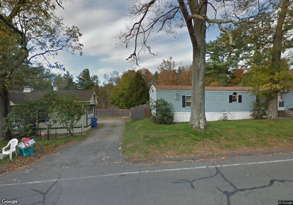
248 Old Warren Rd Palmer, MA 01069
Estimated Value: $409,000 - $462,000
4
Beds
3
Baths
1,456
Sq Ft
$293/Sq Ft
Est. Value
About This Home
This home is located at 248 Old Warren Rd, Palmer, MA 01069 and is currently estimated at $426,320, approximately $292 per square foot. 248 Old Warren Rd is a home located in Hampden County with nearby schools including Old Mill Pond Elementary School, Converse Middle School, and Palmer High School.
Ownership History
Date
Name
Owned For
Owner Type
Purchase Details
Closed on
Jun 19, 2008
Sold by
Lamontagne Carla
Bought by
Charron Brandy and Charron Donald
Current Estimated Value
Home Financials for this Owner
Home Financials are based on the most recent Mortgage that was taken out on this home.
Original Mortgage
$200,000
Outstanding Balance
$127,548
Interest Rate
6.1%
Mortgage Type
Purchase Money Mortgage
Estimated Equity
$298,772
Purchase Details
Closed on
Mar 12, 2007
Sold by
Lamontagne Carla
Bought by
Charron Donald and Charron Brandy
Purchase Details
Closed on
Sep 5, 1991
Sold by
Bixby Gerald R and Bixby Shirley J
Bought by
Robert Gary A and Robert Laurie J
Home Financials for this Owner
Home Financials are based on the most recent Mortgage that was taken out on this home.
Original Mortgage
$8,000
Interest Rate
9.43%
Mortgage Type
Purchase Money Mortgage
Create a Home Valuation Report for This Property
The Home Valuation Report is an in-depth analysis detailing your home's value as well as a comparison with similar homes in the area
Home Values in the Area
Average Home Value in this Area
Purchase History
| Date | Buyer | Sale Price | Title Company |
|---|---|---|---|
| Charron Brandy | -- | -- | |
| Charron Brandy | -- | -- | |
| Charron Brandy | -- | -- | |
| Charron Donald | -- | -- | |
| Charron Donald | -- | -- | |
| Robert Gary A | $20,000 | -- | |
| Robert Gary A | $20,000 | -- |
Source: Public Records
Mortgage History
| Date | Status | Borrower | Loan Amount |
|---|---|---|---|
| Open | Charron Brandy | $200,000 | |
| Closed | Robert Gary A | $200,000 | |
| Previous Owner | Robert Gary A | $8,000 |
Source: Public Records
Tax History Compared to Growth
Tax History
| Year | Tax Paid | Tax Assessment Tax Assessment Total Assessment is a certain percentage of the fair market value that is determined by local assessors to be the total taxable value of land and additions on the property. | Land | Improvement |
|---|---|---|---|---|
| 2025 | $6,923 | $378,700 | $64,700 | $314,000 |
| 2024 | $6,430 | $344,400 | $58,700 | $285,700 |
| 2023 | $6,464 | $332,500 | $58,700 | $273,800 |
| 2022 | $6,075 | $283,900 | $51,600 | $232,300 |
| 2021 | $5,827 | $257,500 | $57,000 | $200,500 |
| 2020 | $5,622 | $246,600 | $57,000 | $189,600 |
| 2019 | $5,460 | $246,600 | $57,000 | $189,600 |
| 2018 | $5,335 | $241,600 | $55,300 | $186,300 |
| 2017 | $5,211 | $241,600 | $55,300 | $186,300 |
| 2016 | $5,115 | $240,500 | $53,700 | $186,800 |
| 2015 | $4,962 | $240,500 | $53,700 | $186,800 |
Source: Public Records
Map
Nearby Homes
- 60 Beech St
- 0 Old Warren Rd
- 10, 11-12 Ware St
- 4560 High St
- 275 State St
- 4329 High St
- Lot 2 State St
- 302 Boston Rd
- 748 River St Unit 1
- 0 Flynt St
- Lot 8 Breckenridge St
- 135 Thompson St
- 4048 High St
- 207 Breckenridge St
- 15 Michael Dr Unit 15
- L 65-35-1 Pine Hill Dr
- 0 St Unit 73414881
- 9 Jim Ash Rd
- Lots 39-42 Lawrence
- Lot 0 Thorndike and Lawrence St